Day 1
Trailhead to Muriel Lake
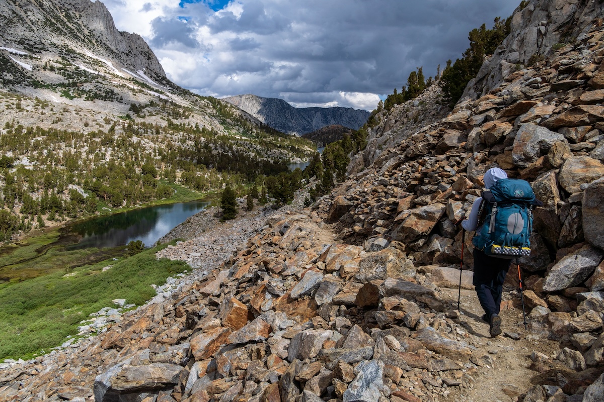
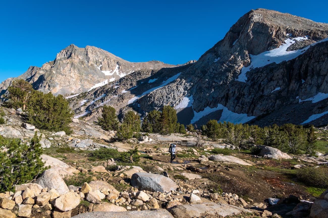
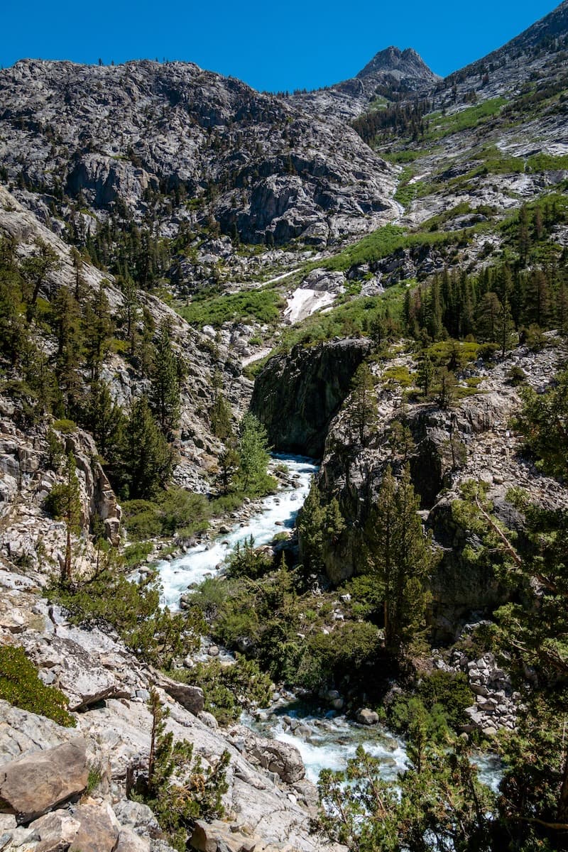
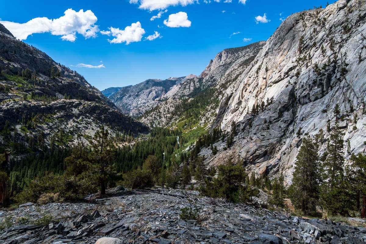
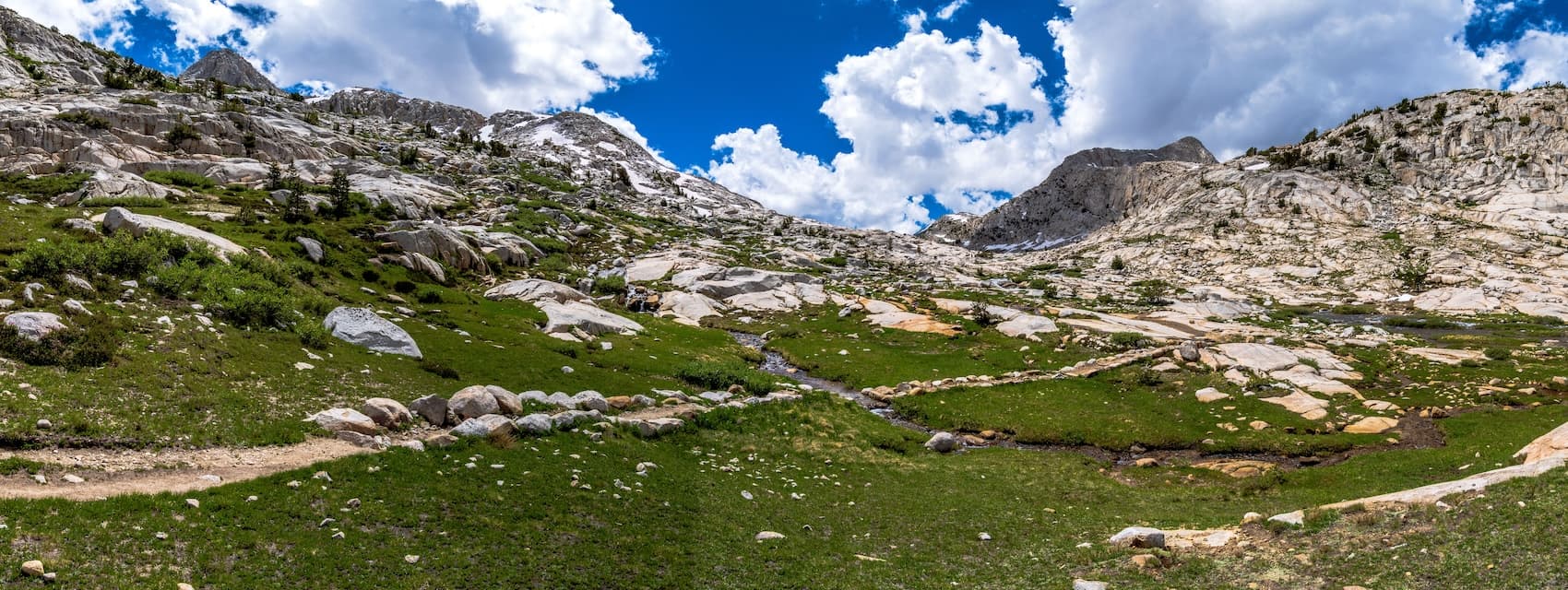
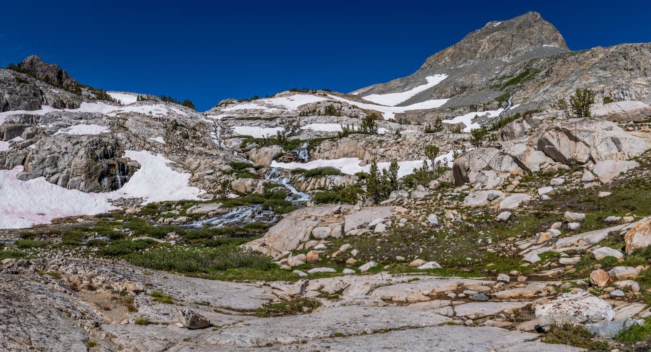
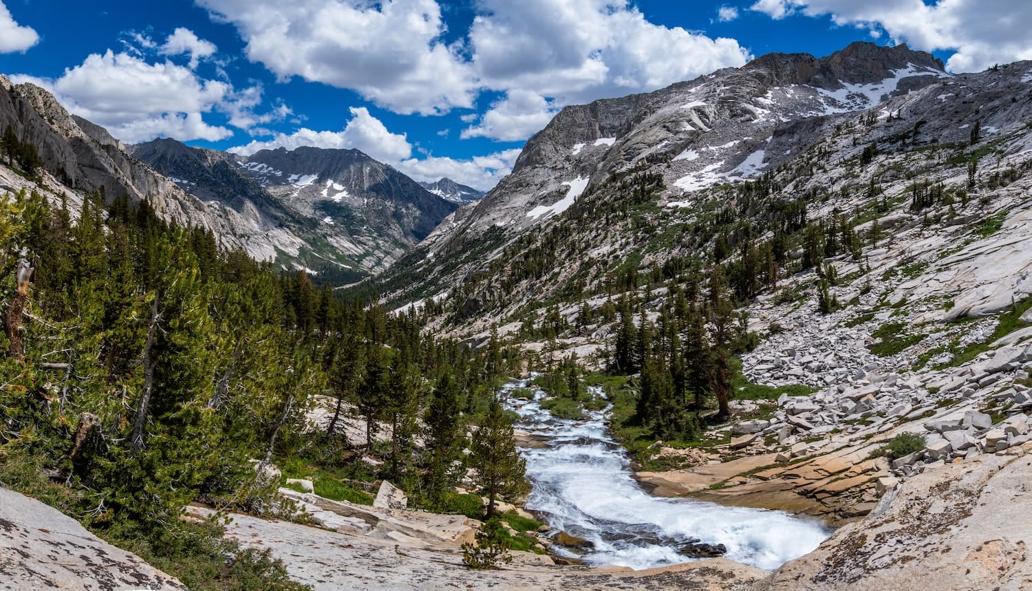
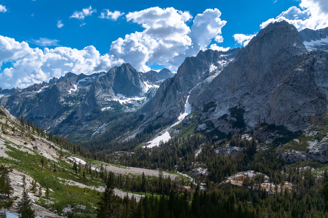
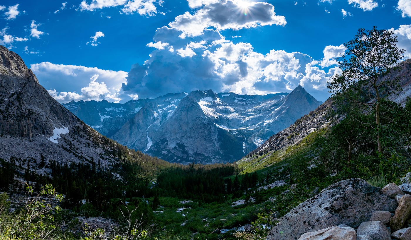
We got to the North Lake trailhead around noon. Mosquitoes attacked us as we meticulously packed our gear, making sure we didn't forget anything. This would be a long and incredibly scenic trek through some premium Sierra backcountry. Fully loaded, we headed up from the trailhead towards Piute Pass. The weather was perfect. Sunny and not too hot. We followed the meandering trail through the forest and across some small creeks. After a while we hit the switchbacks and began climbing. We passed a park ranger who checked our permits and informed us that the bridge that would take us across the San Joaquin river had been severly damaged over the winter. She informed us that the park service was planning on demolishing it in the very near future but couldn't tell us when. We thanked her for the heads up and continued on with a slight sense of apprehension. After more climbing we finally reached Loch Leven, our first lake of the trip. We continued past the lake and then hiked through some beautiful alpine meadows which featured a waterfall. The sound of running water was everywhere. This winter, the Sierras had received record breaking snow pack and the creeks were still running strong in early August. Eventually we got to scenic Piute Lake and we took a lunch break.
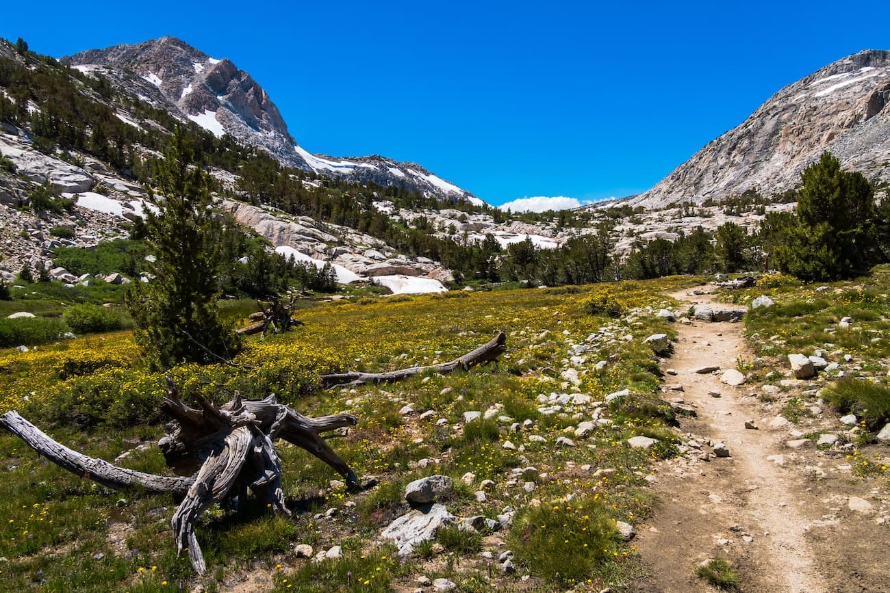
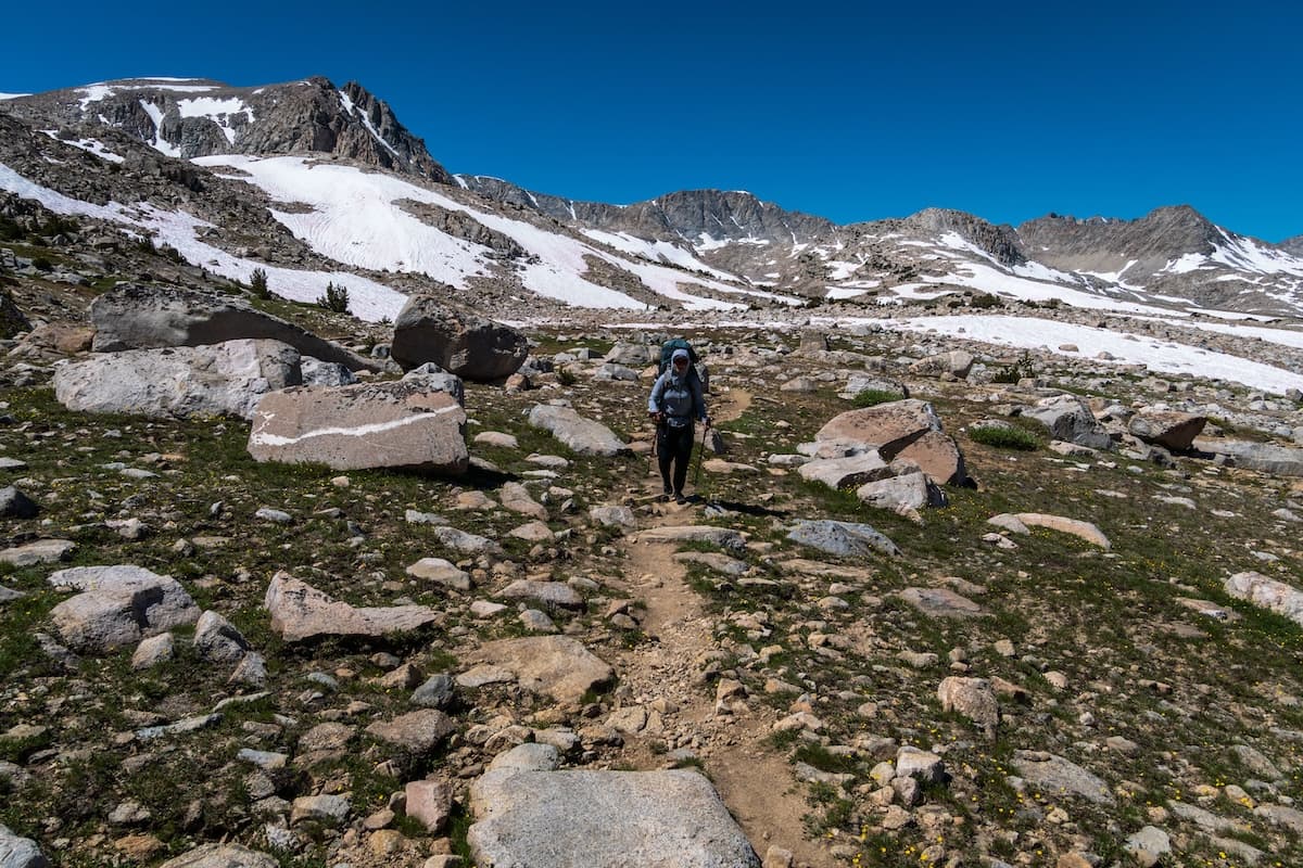
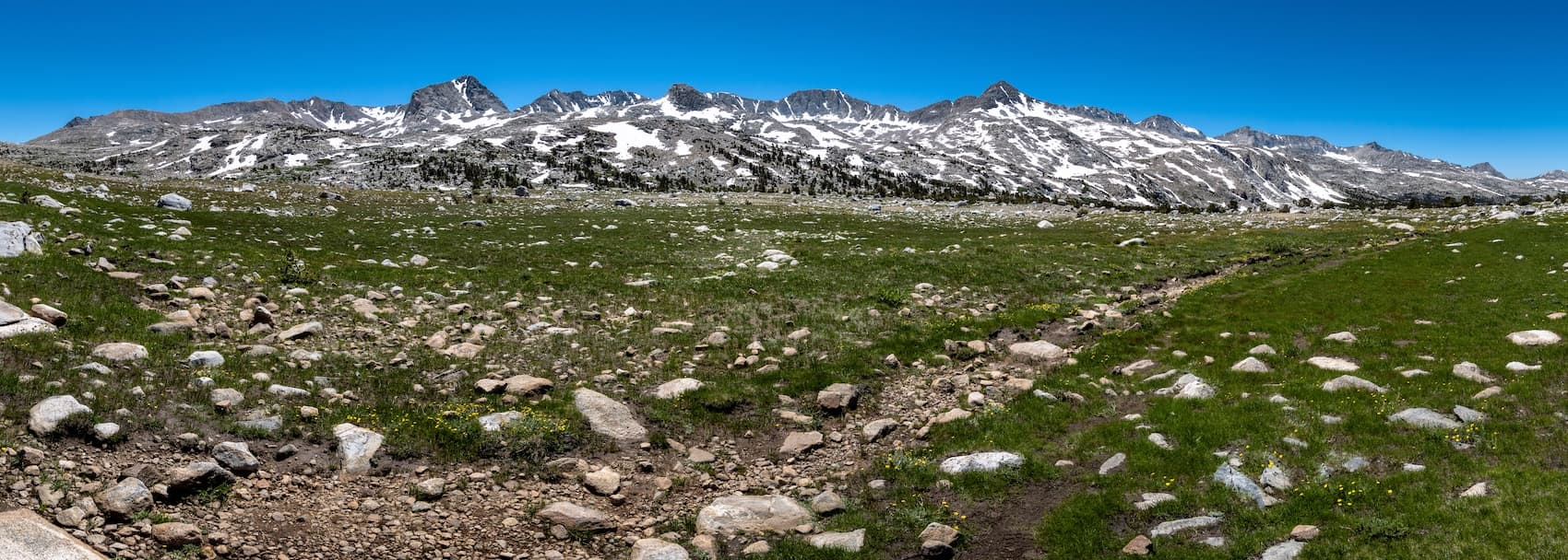
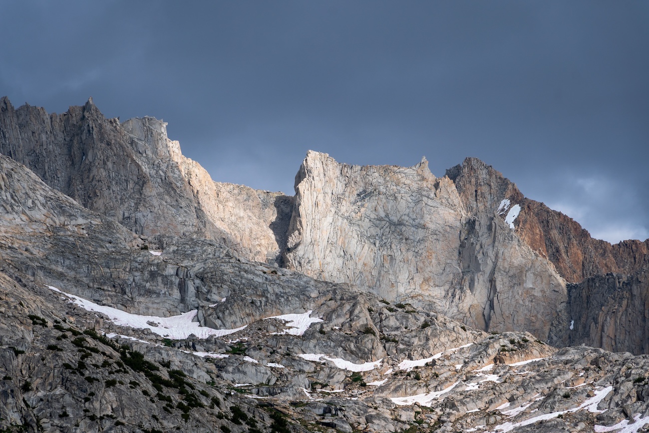
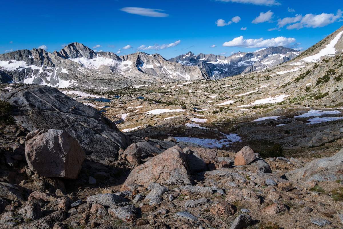
After some snacks and a quick peak at a rustic shack, we began the final ascent up to Piute Pass. We passed through beautiful alpine terrain. There were lots of open meadows with stands of trees. There were creeks rushing all around, even down the trail. We made the final push up a few rocky switchbacks and reached Piute Pass. We were rewarded with a great view of the wide open green meadows of Humphreys Basin with Summit Lake just below.
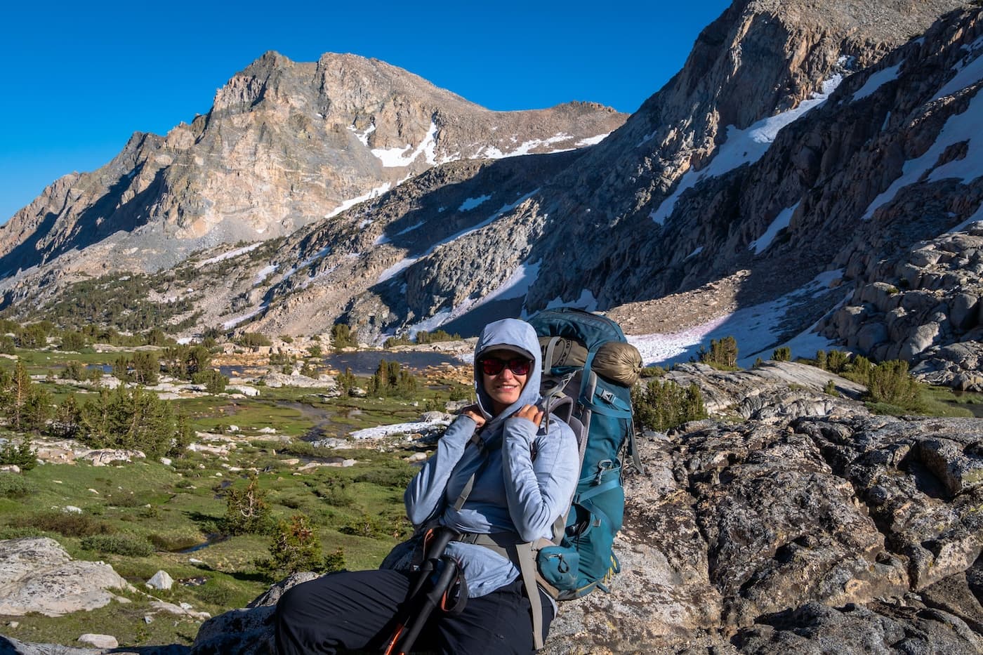
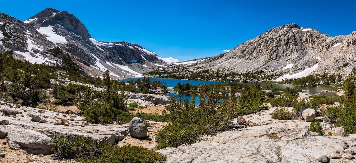
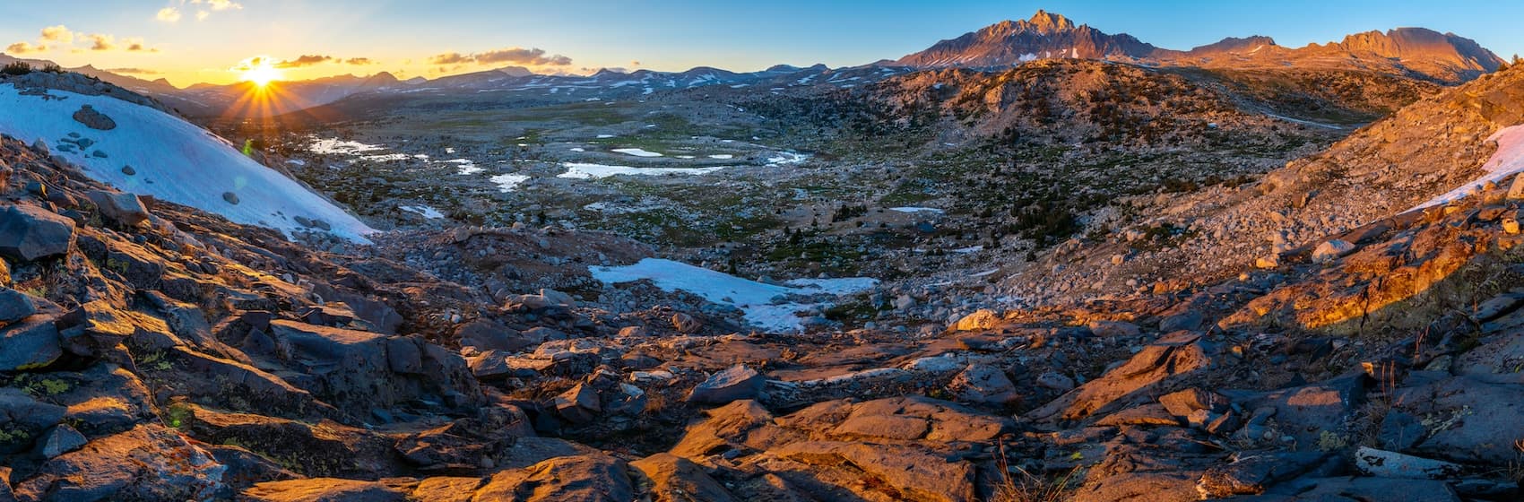
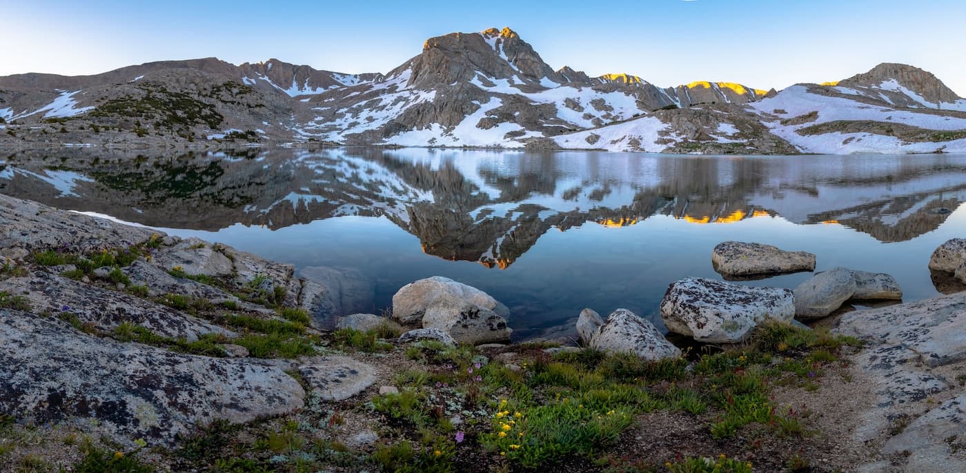
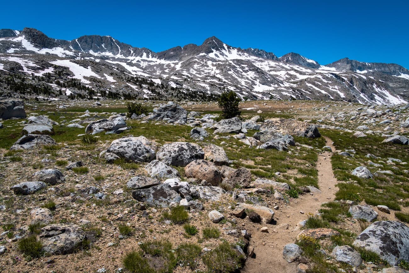
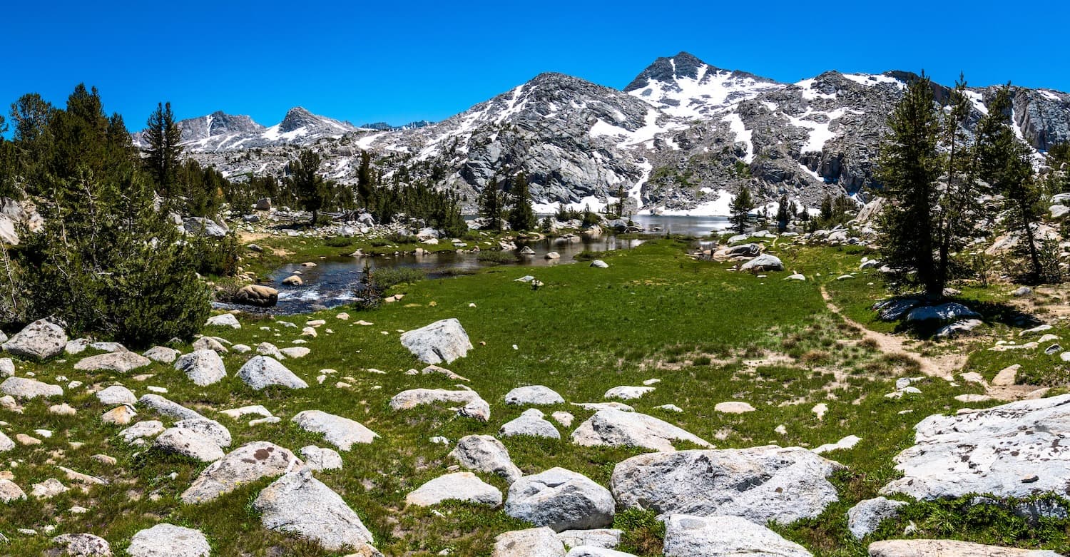
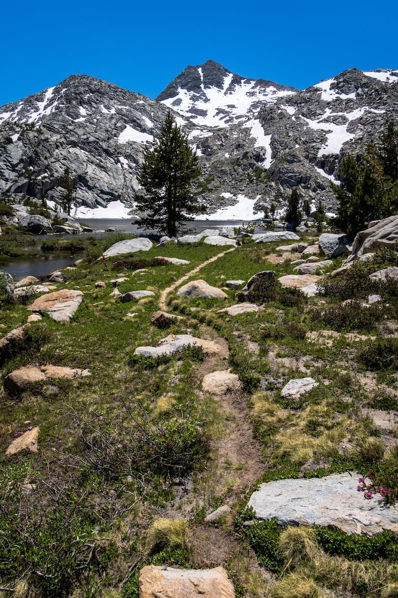
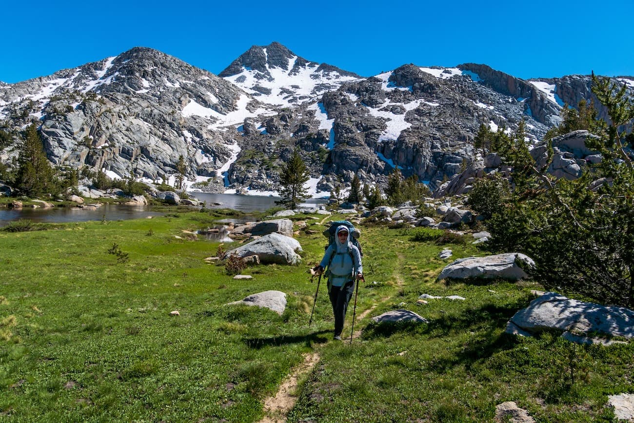
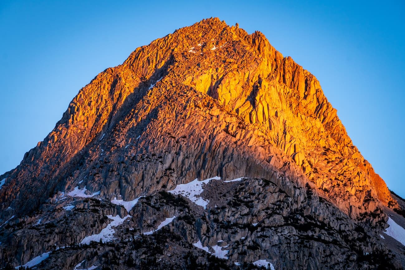
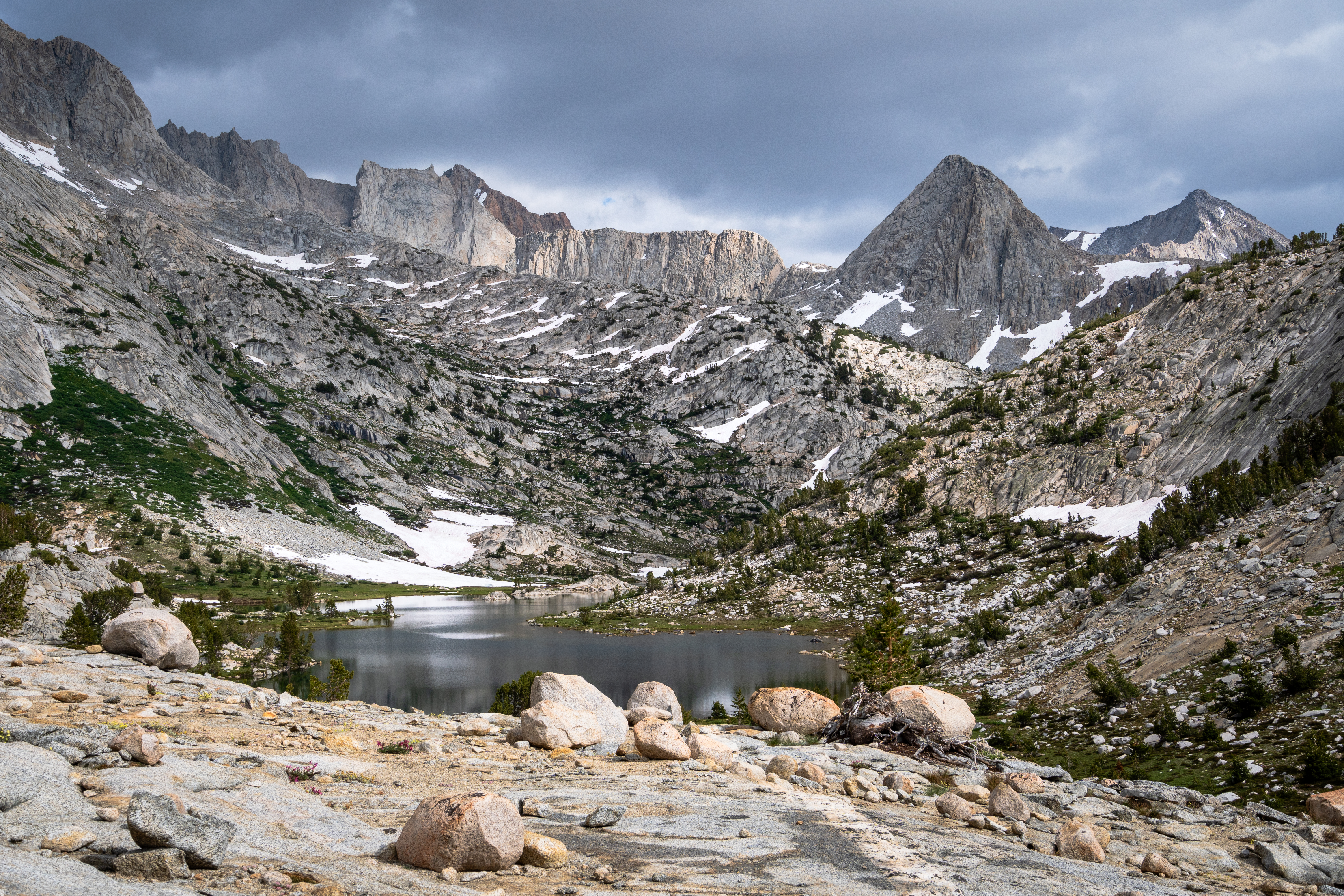
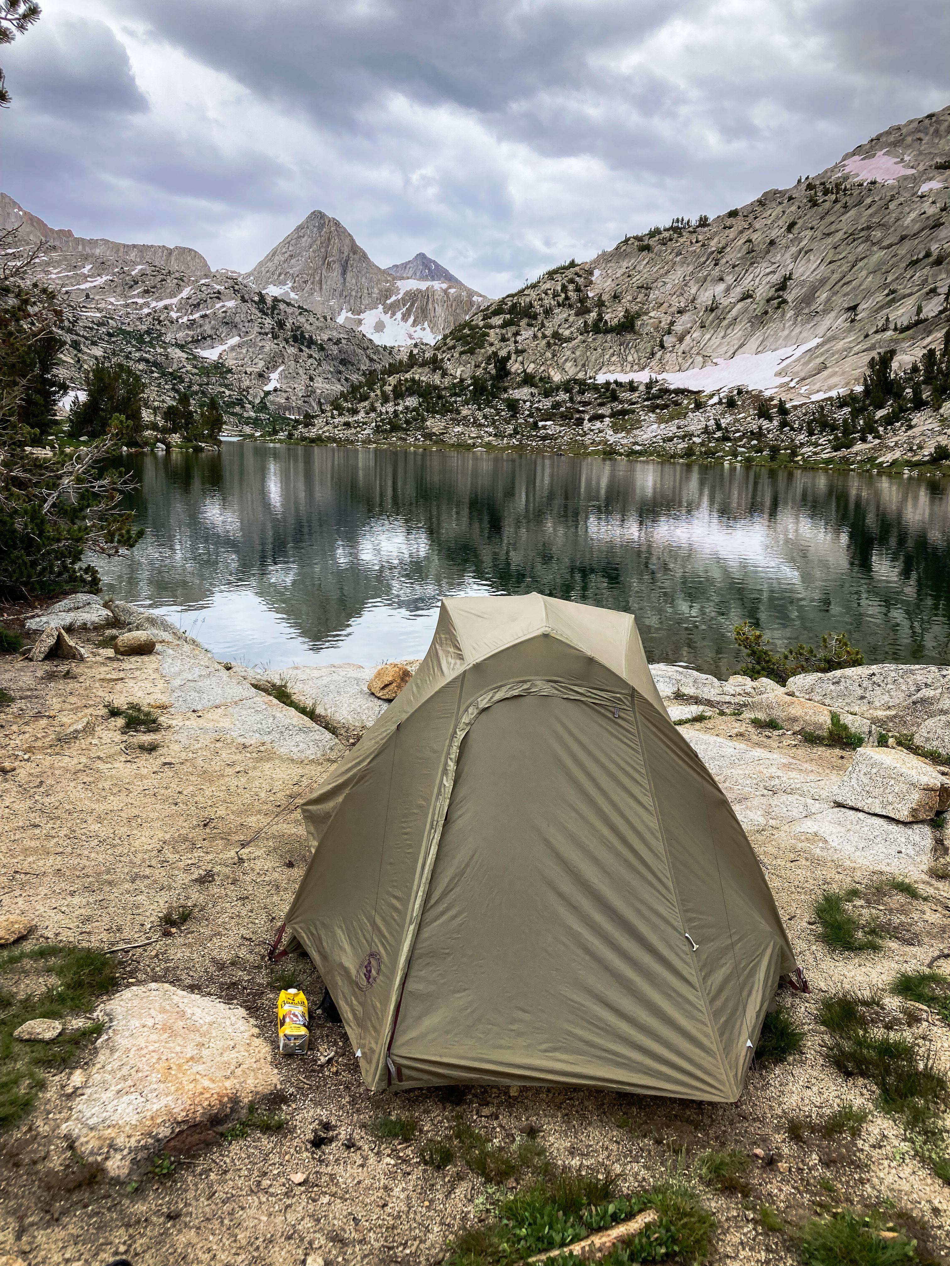
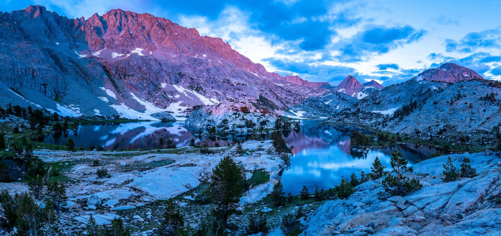
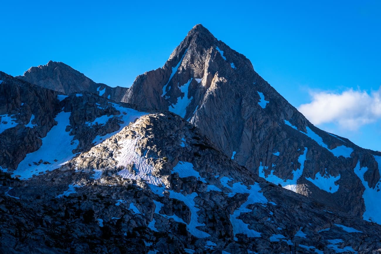
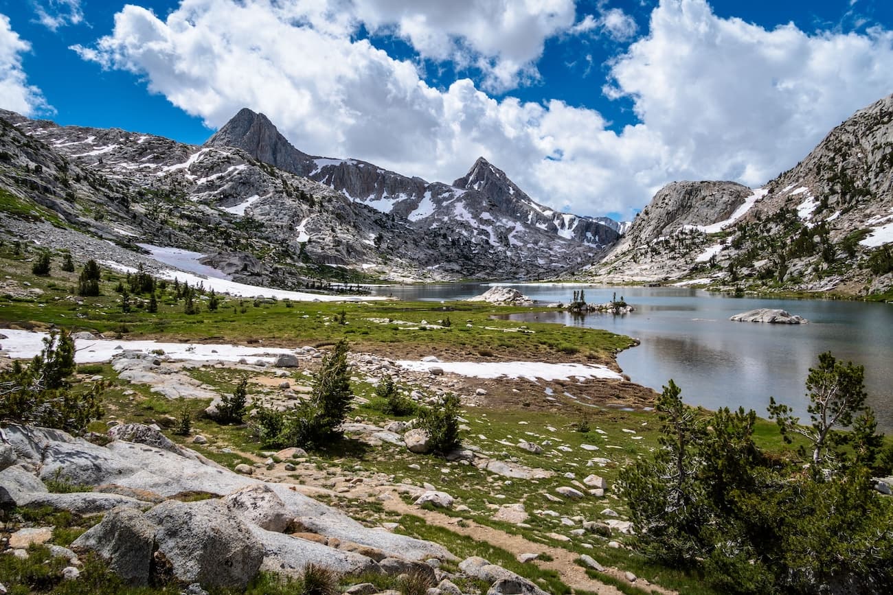
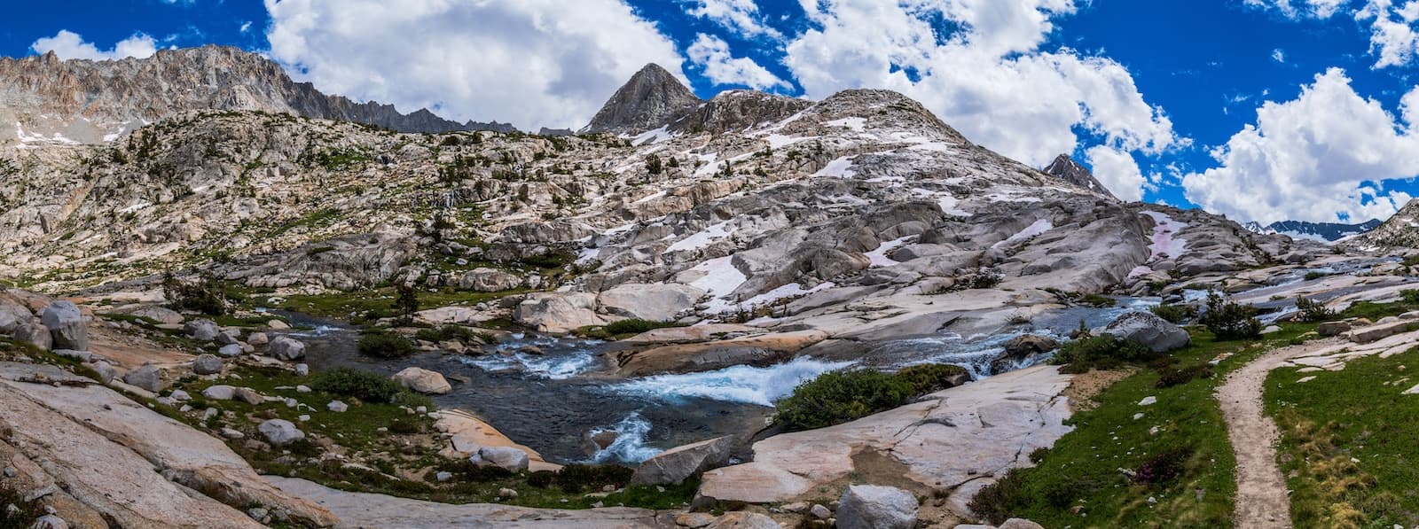
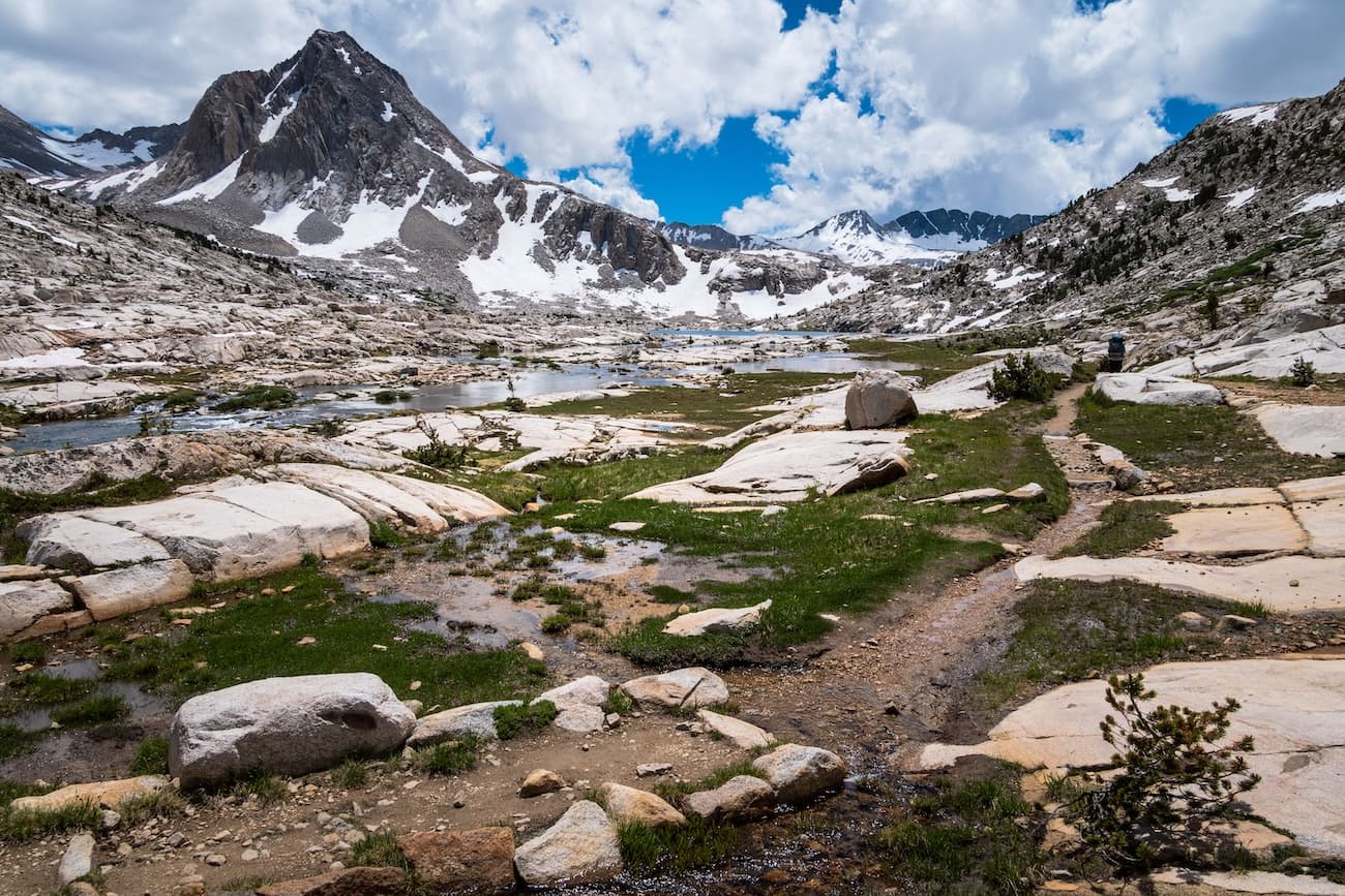
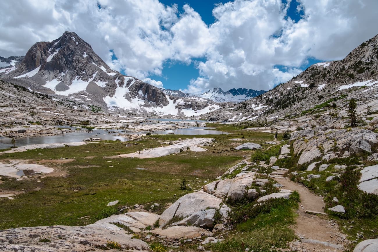
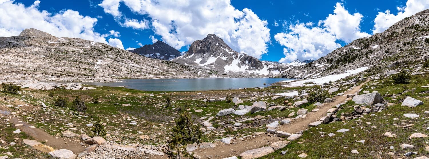
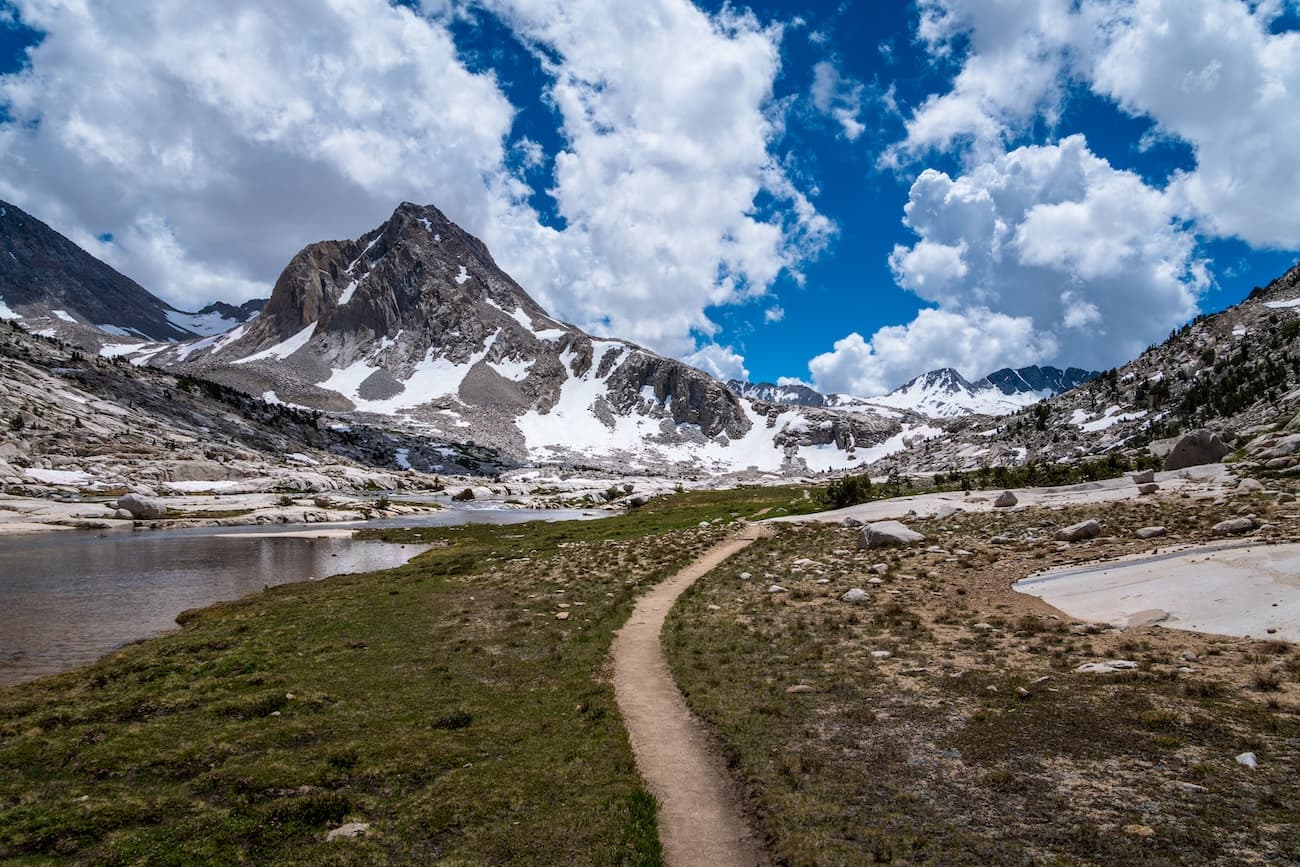
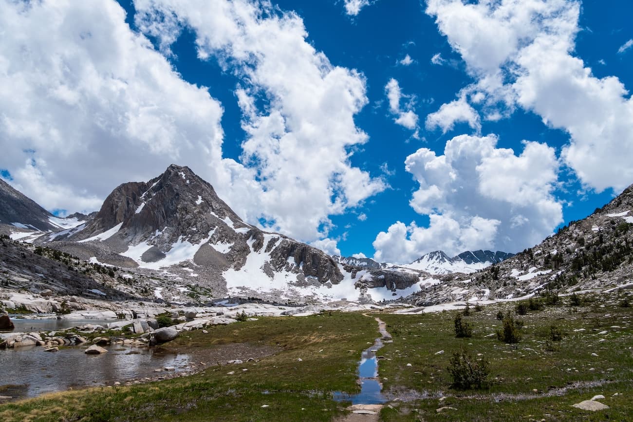
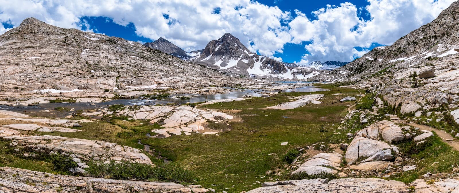
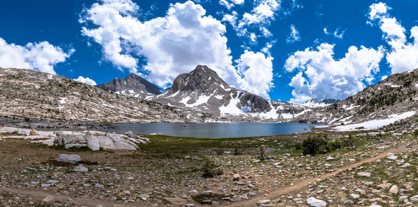
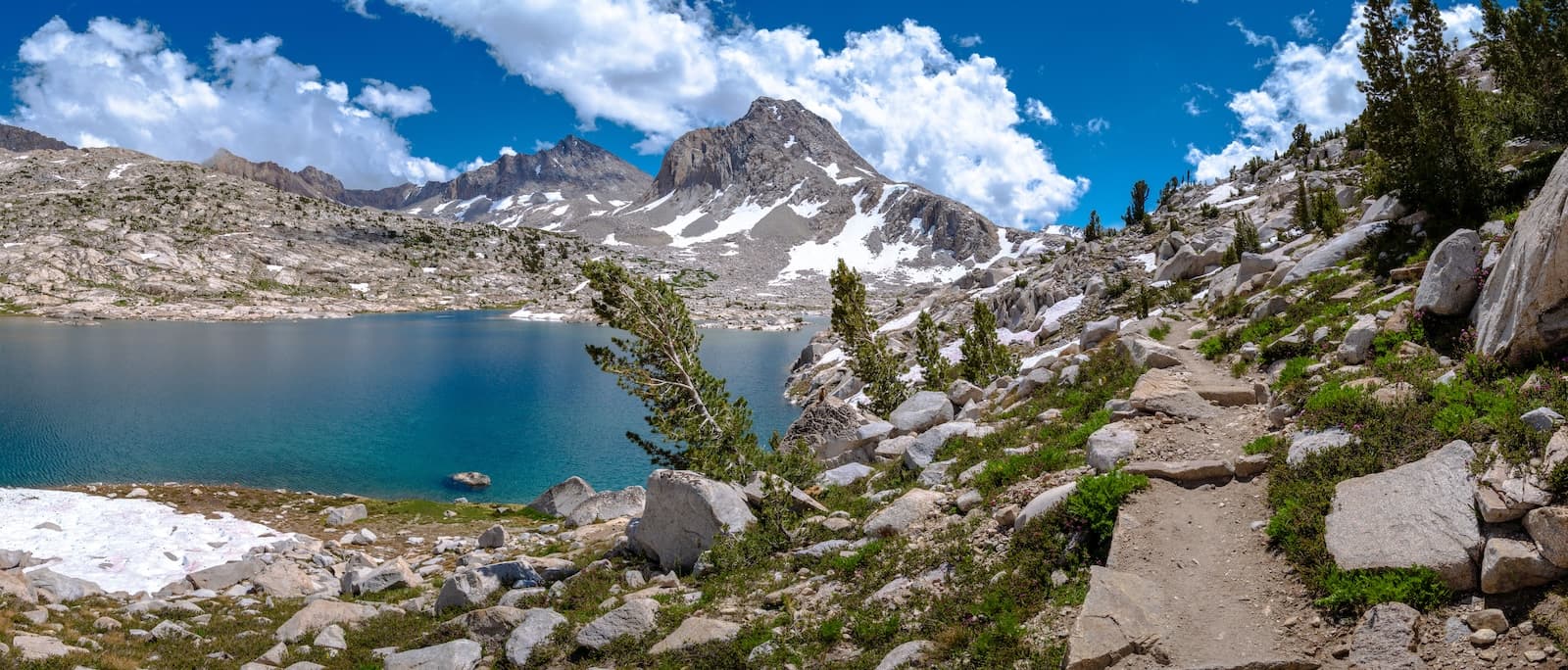
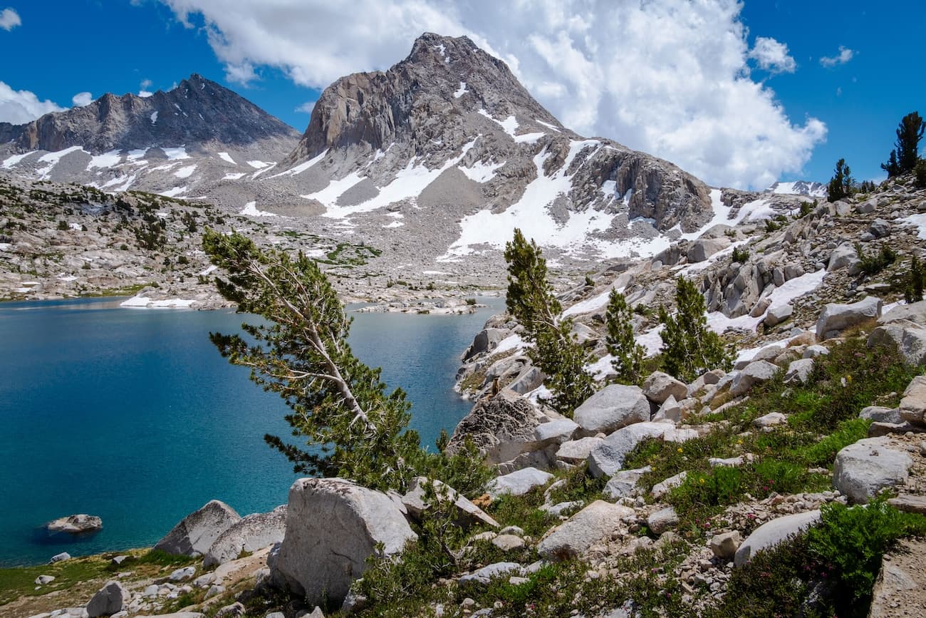
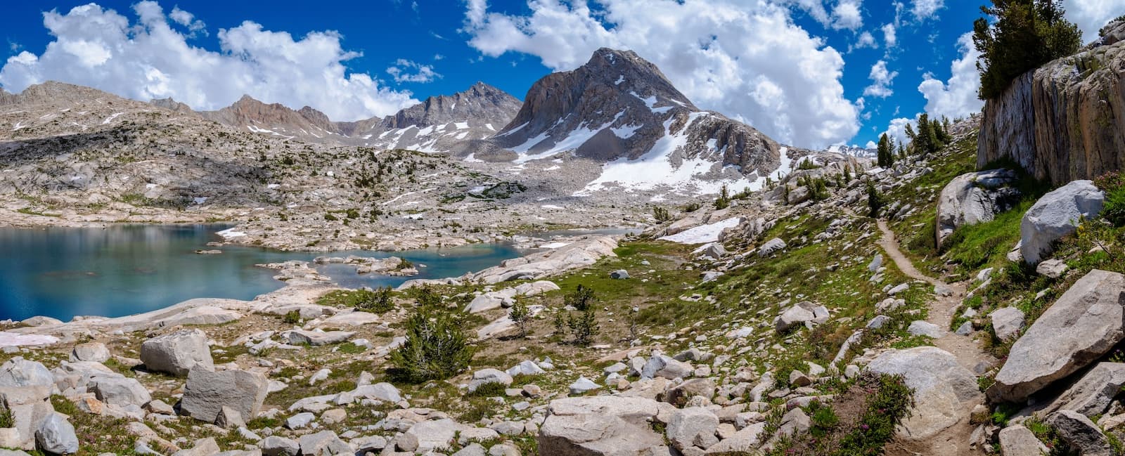
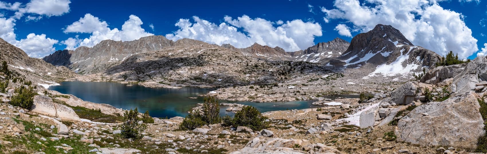
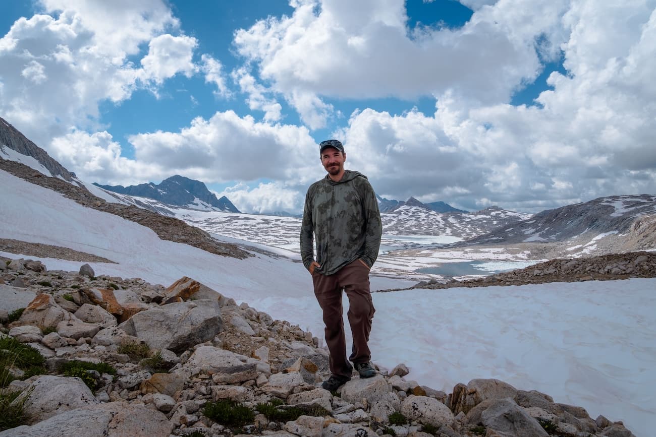
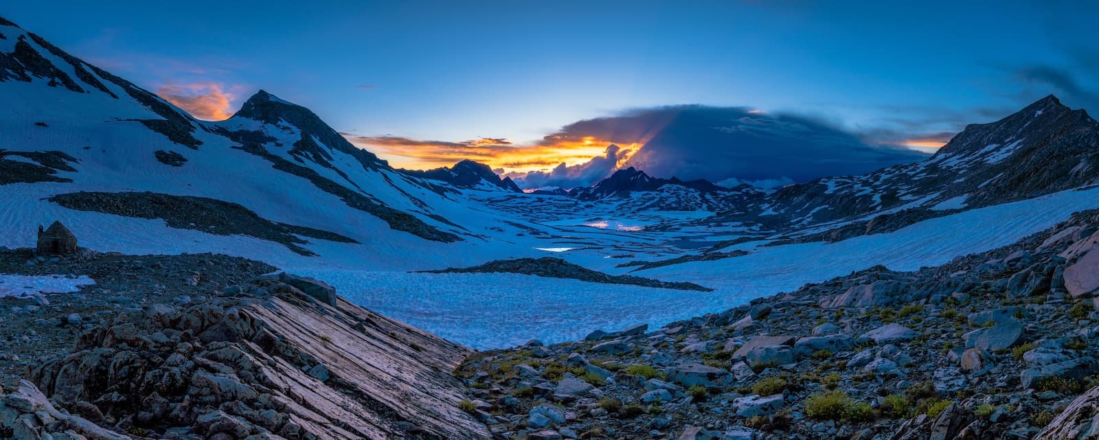
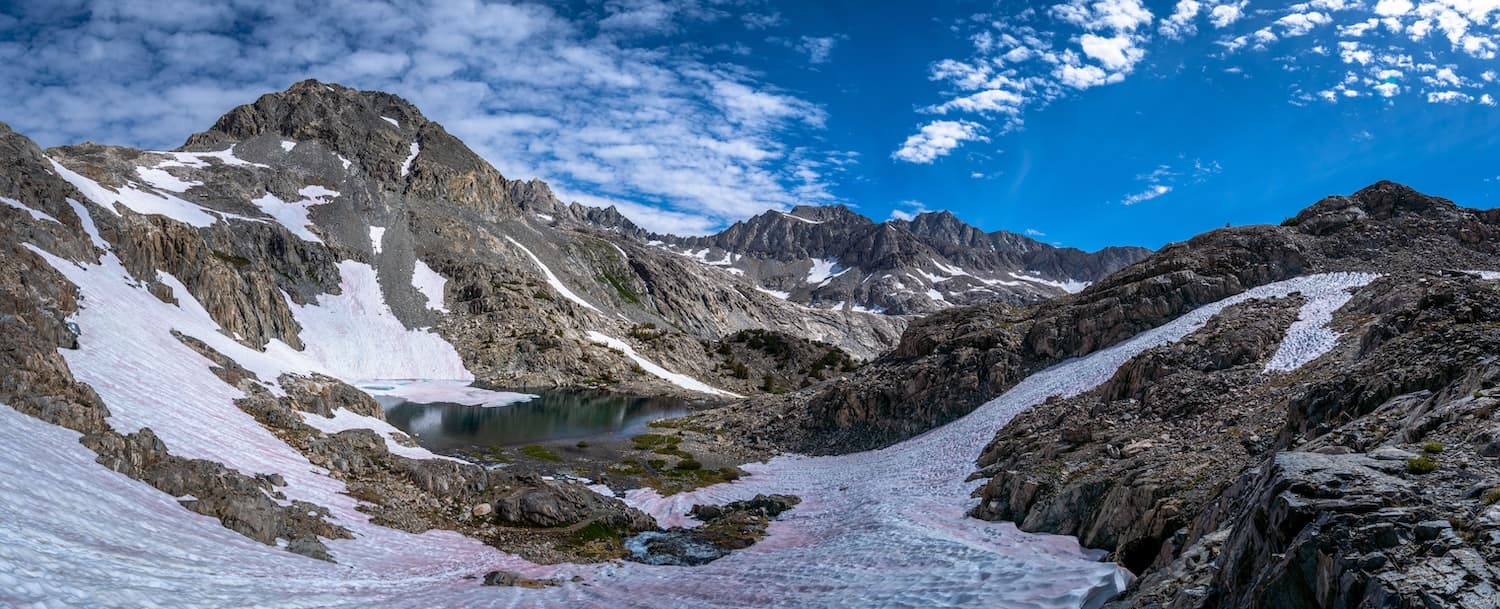
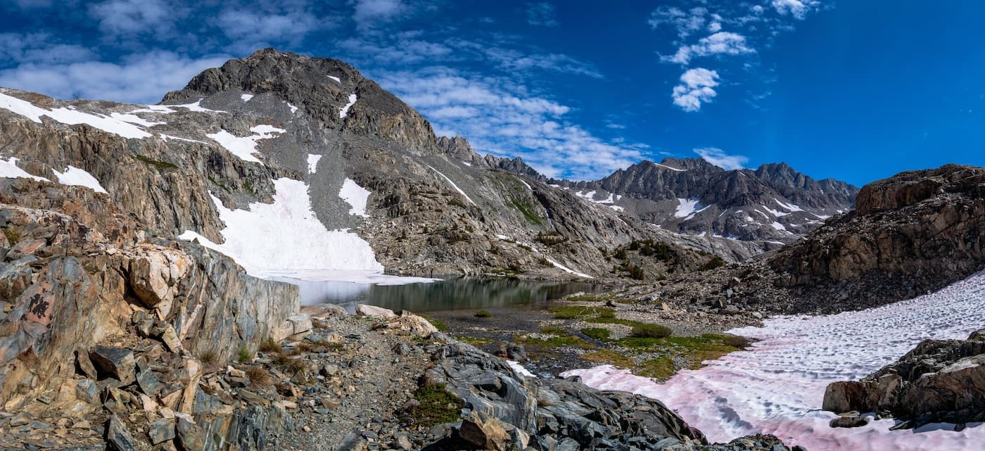
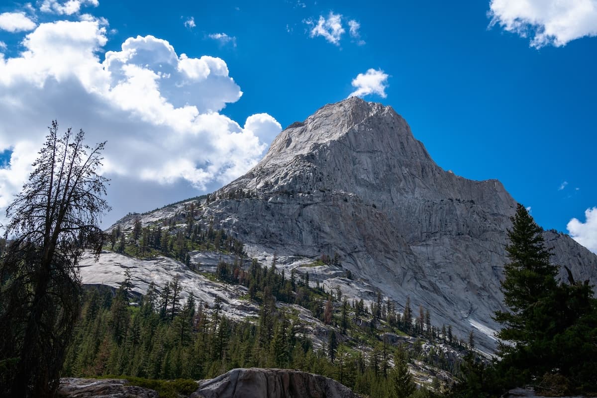
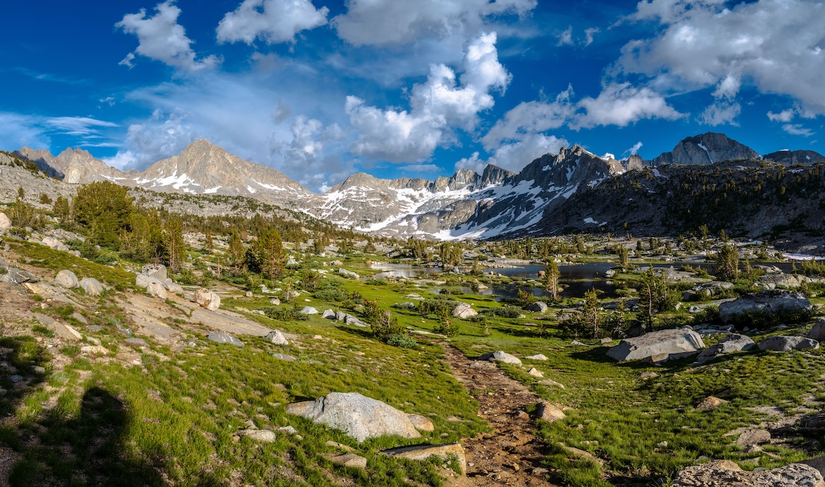
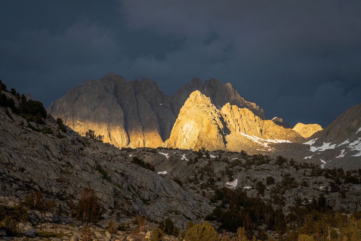
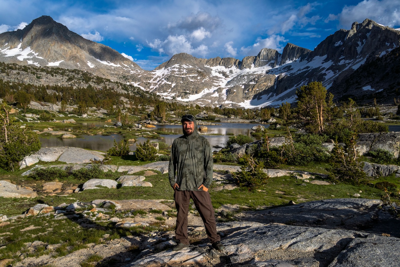
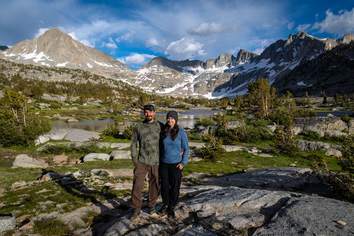
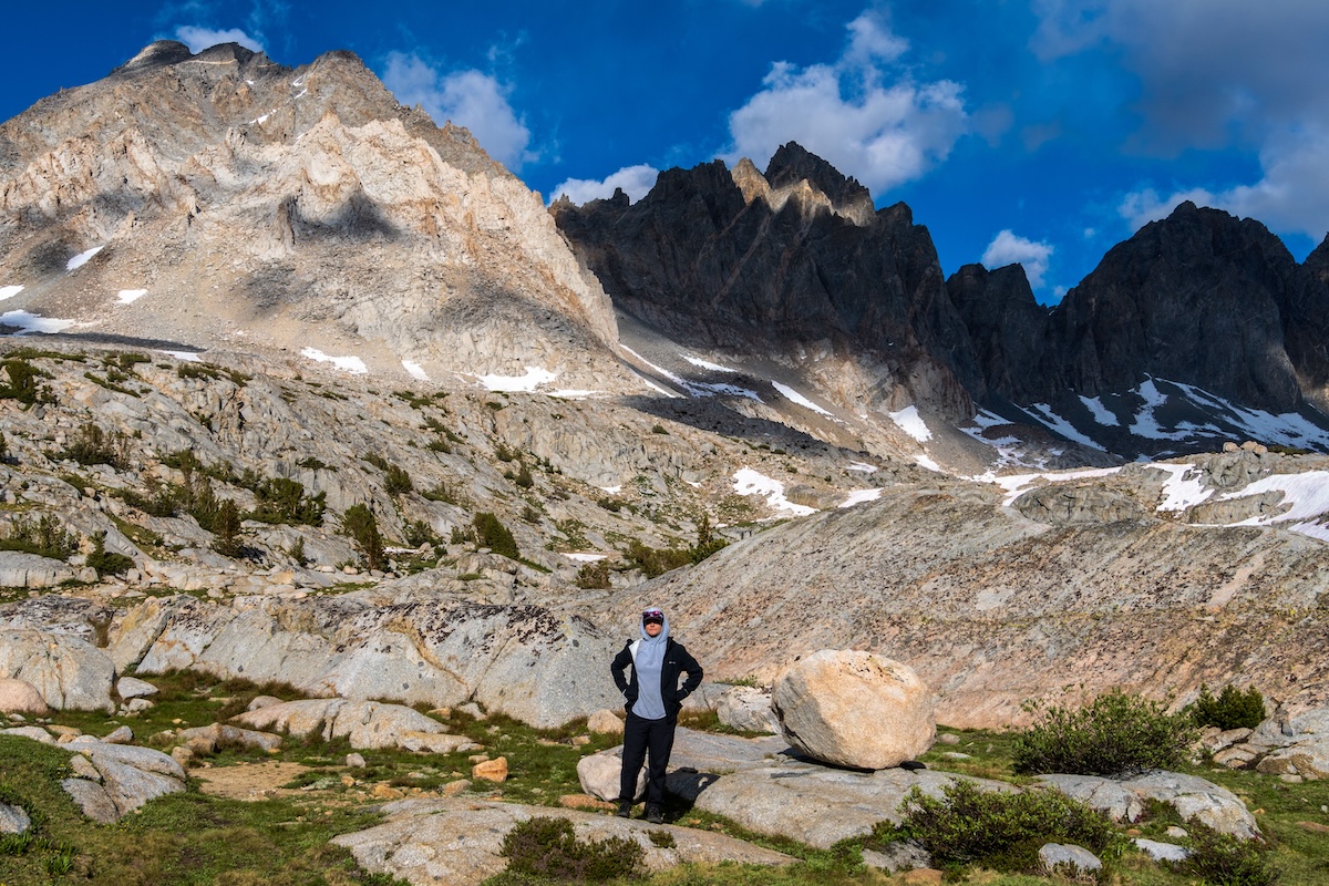
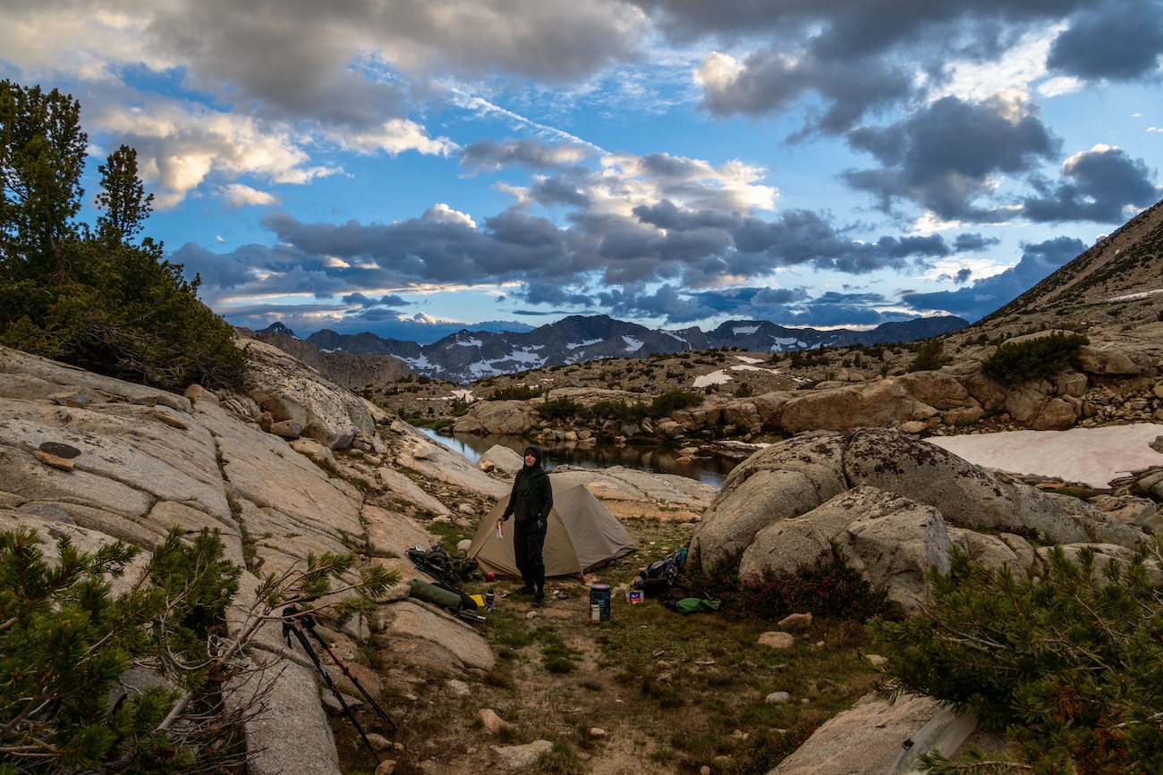
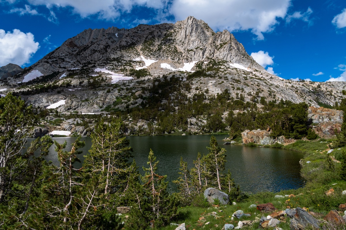
Our destination for the night was Muriel Lake, which was just about a mile away. After taking in the views for a bit, we headed towards Muriel lake. We followed a faint trail through the open terrain which was adorned with large granite boulders. After crossing a few snow patches we got our first glimpse of Muriel Lake. The rocky alpine lake was surrounded with snowy granite mountains. The prominent Muriel Peak towered like a sentinel over the lake. We quickly found a nice camp spot and began to settle in.
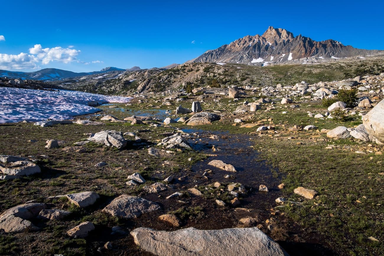
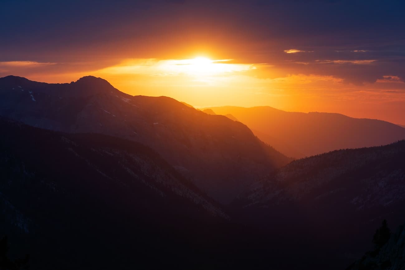
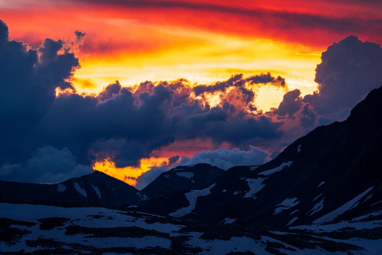
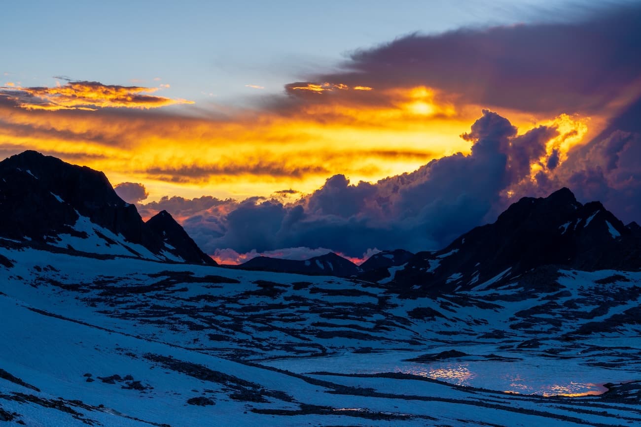
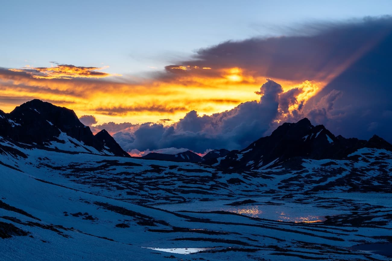
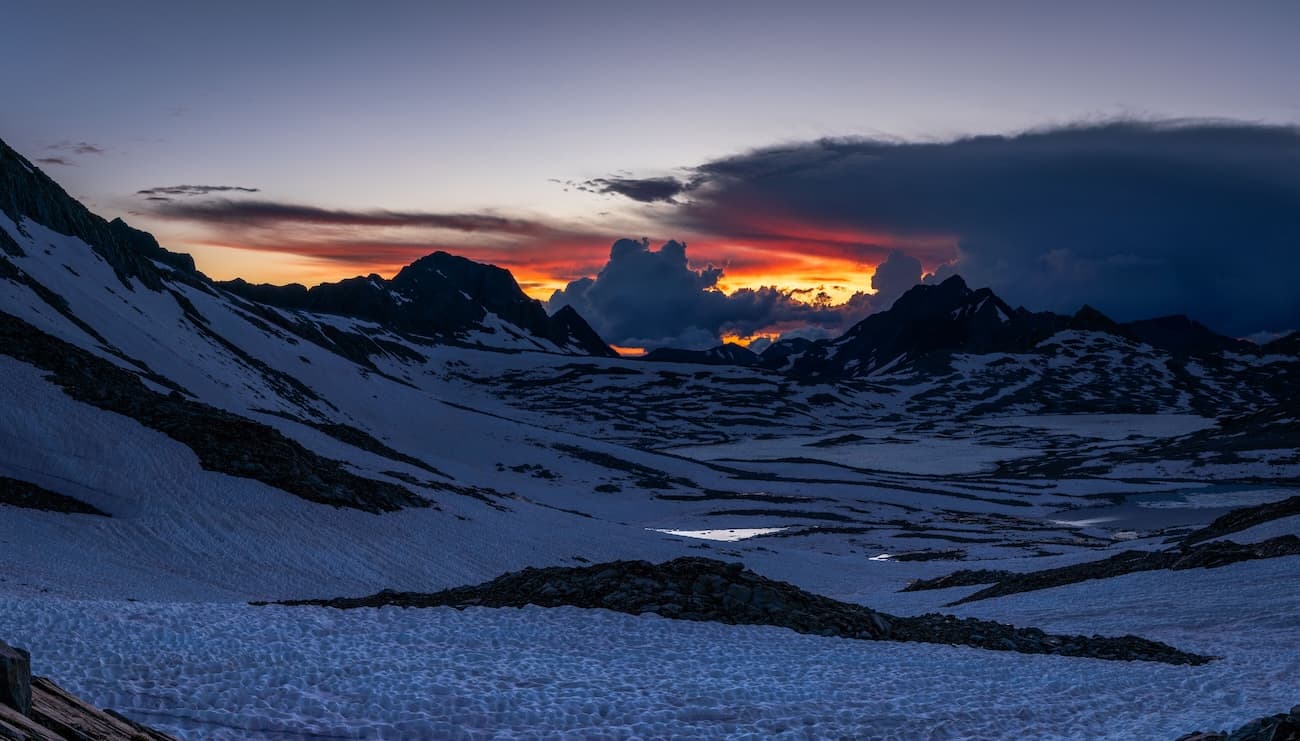
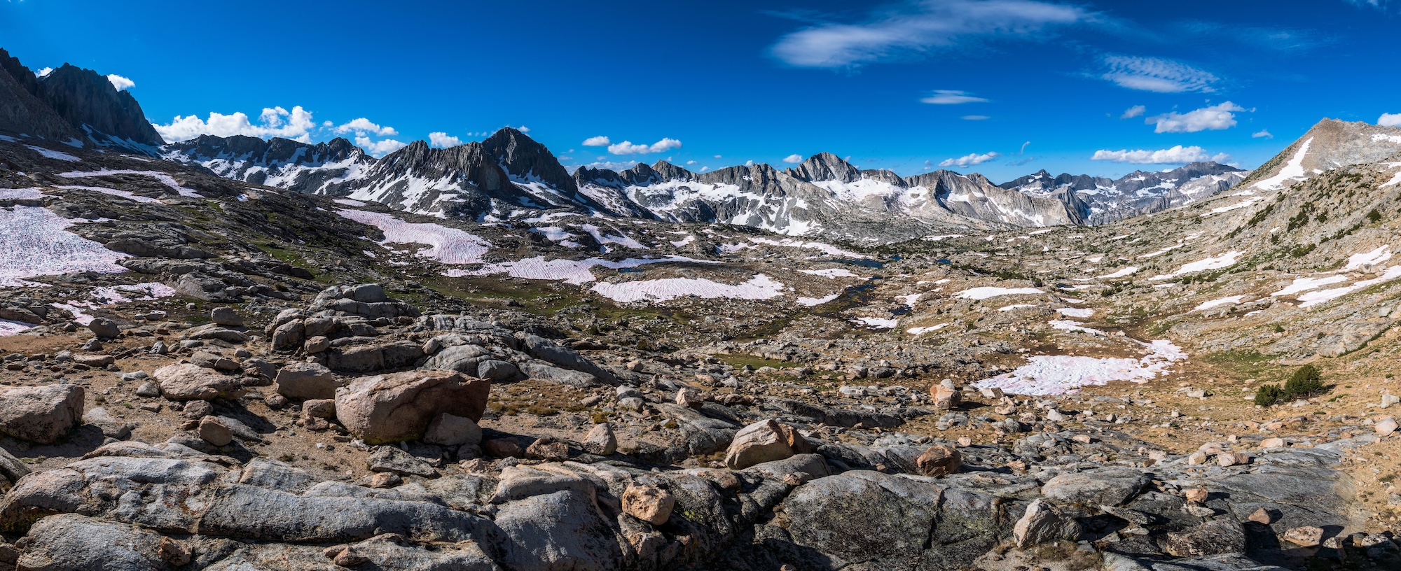
After setting up camp, I explored some of the rocky terrain behind our camp and found an excellent vista of Humphreys Basin. We had our dinner, enjoyed the sunset over the basin and turned in for the night. It had been an excellent day and our trip was off to a great start.
Day 2
Muriel Lake to Hutchinson Meadows
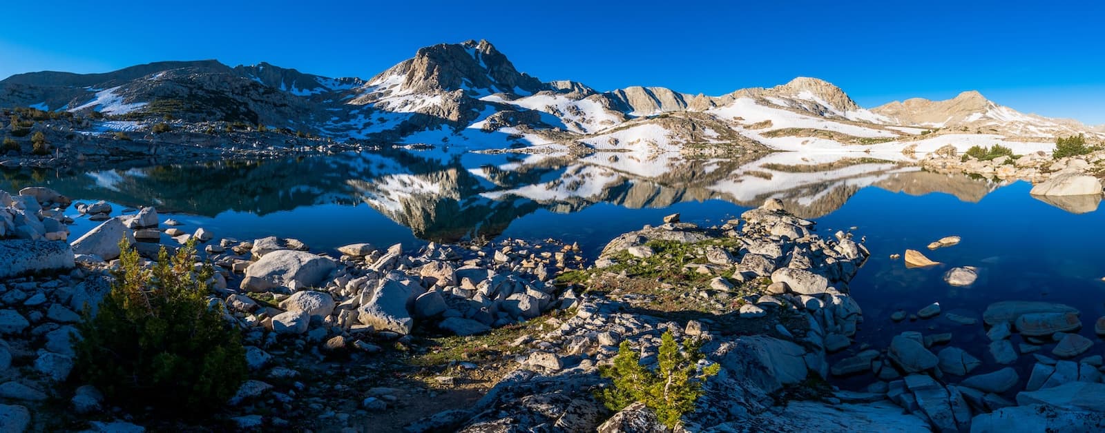
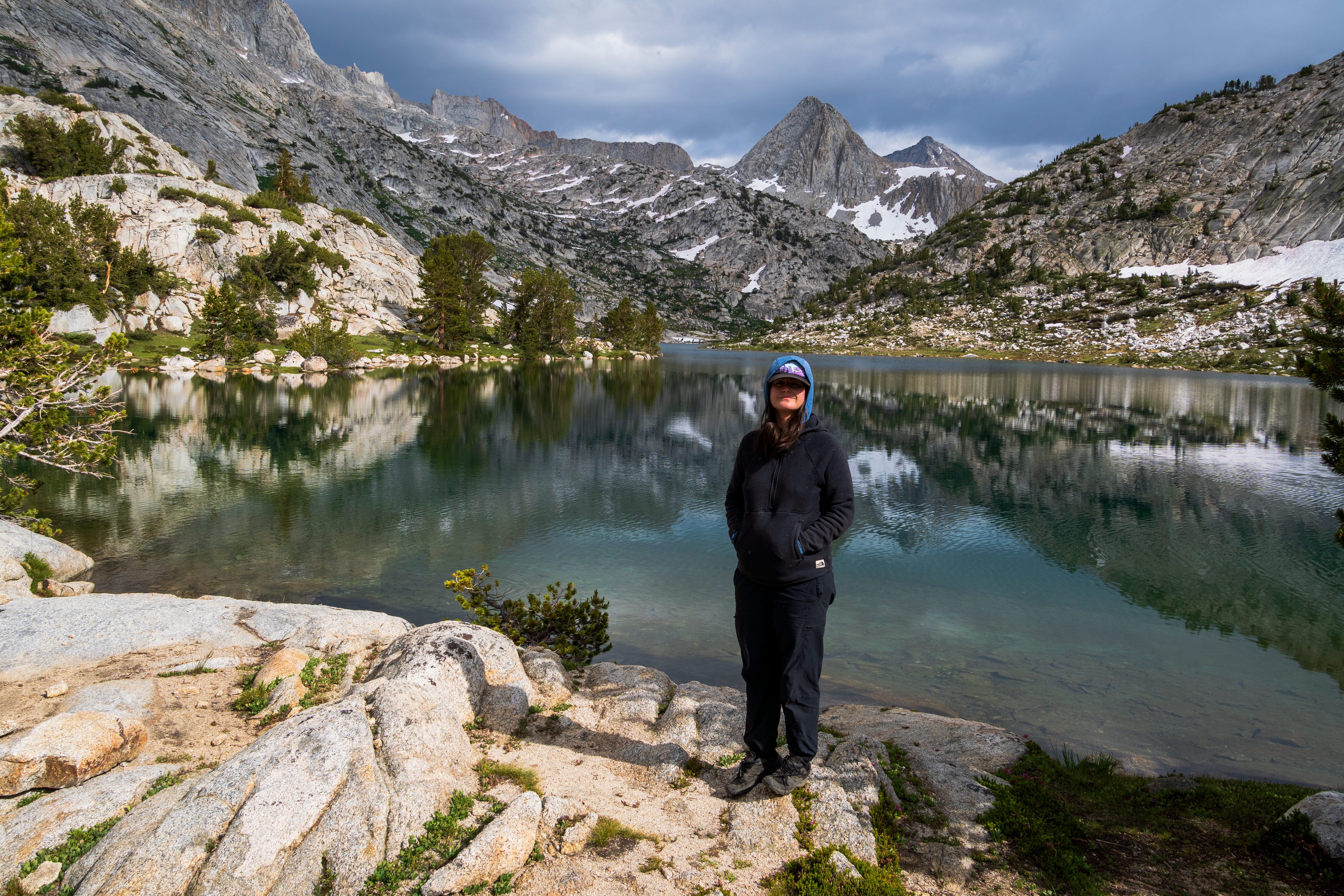
I awoke early and explored the shoreline of Muriel Lake while taking some pictures. After a while Sam woke up and we had some coffee and breakfast. Muriel lake was too beautiful to leave without a proper boat excursion so I busted out the pack raft and went for a paddle. After circumnavigating the lake and taking tons of pictures I returned to camp, packed up and we headed back to the main trail at Piute Pass.
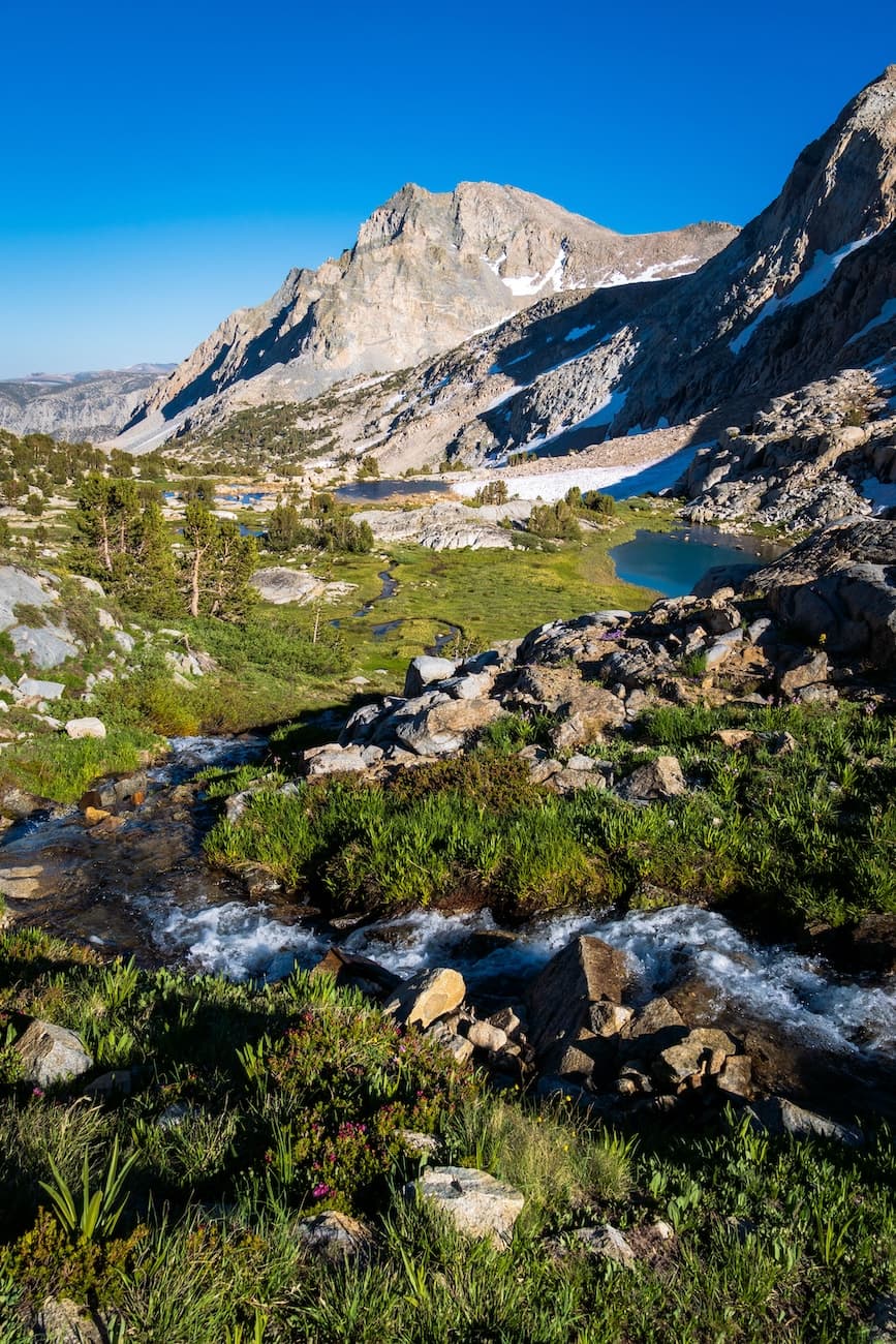
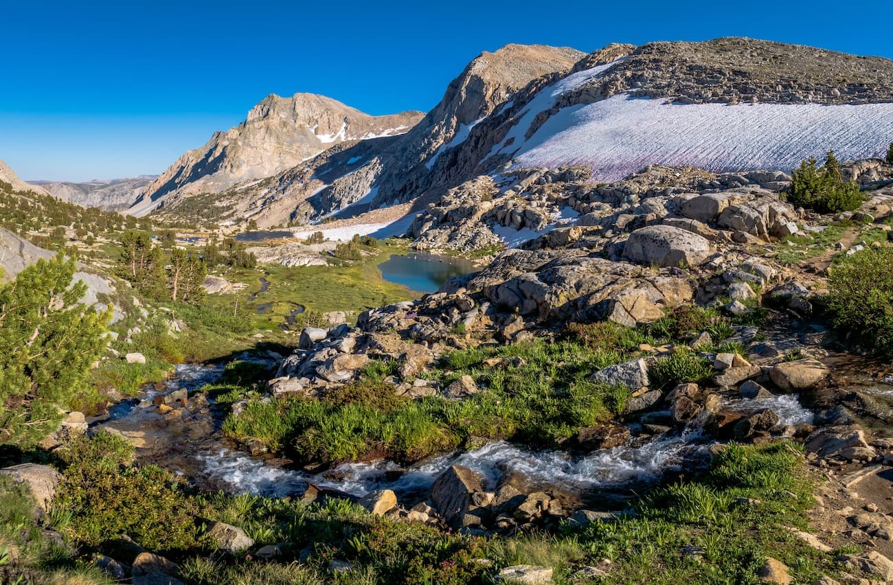
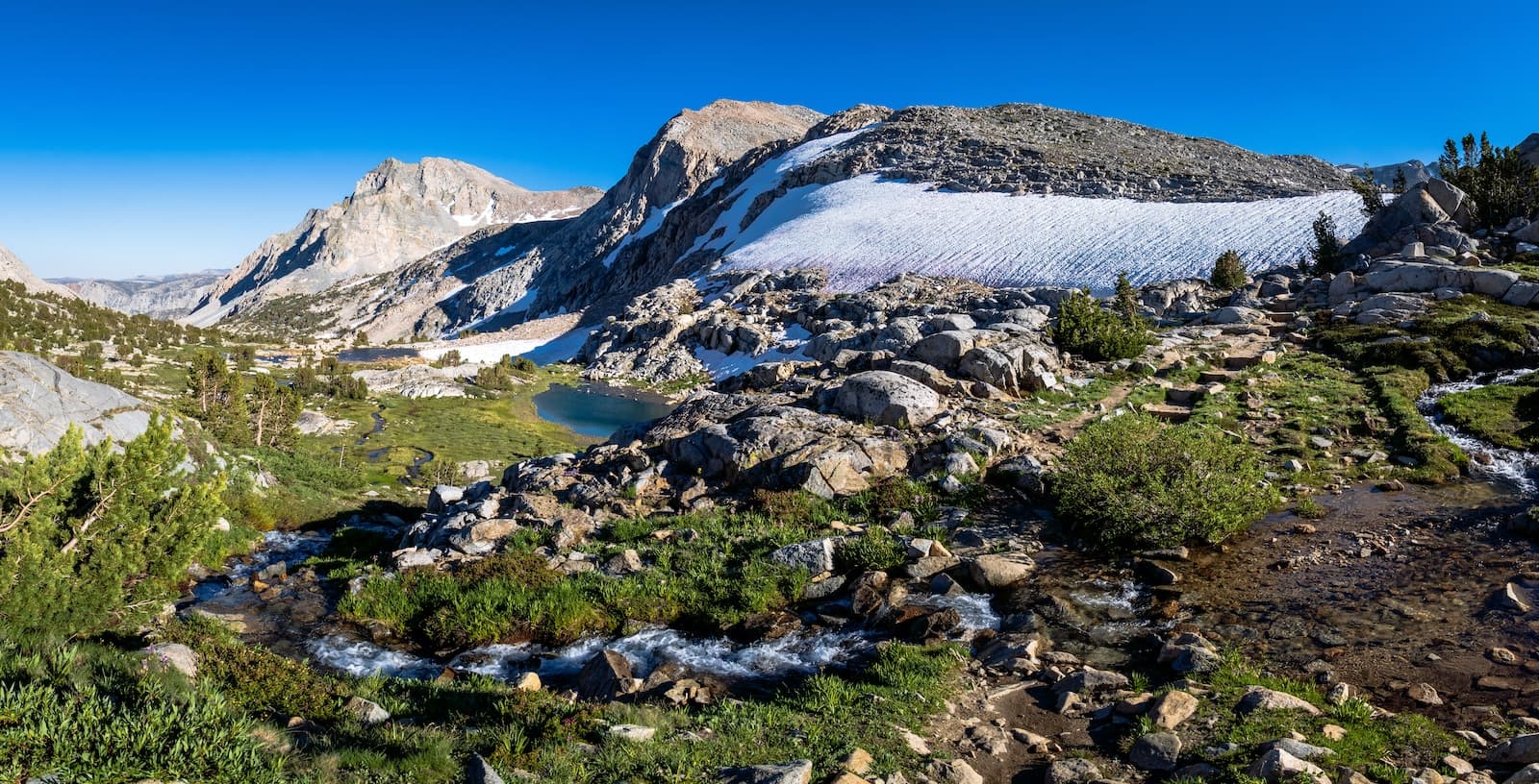
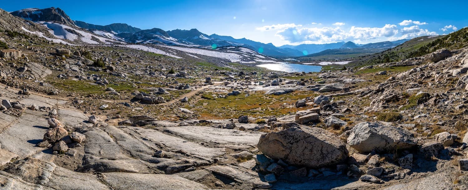
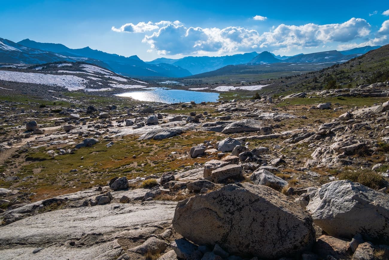
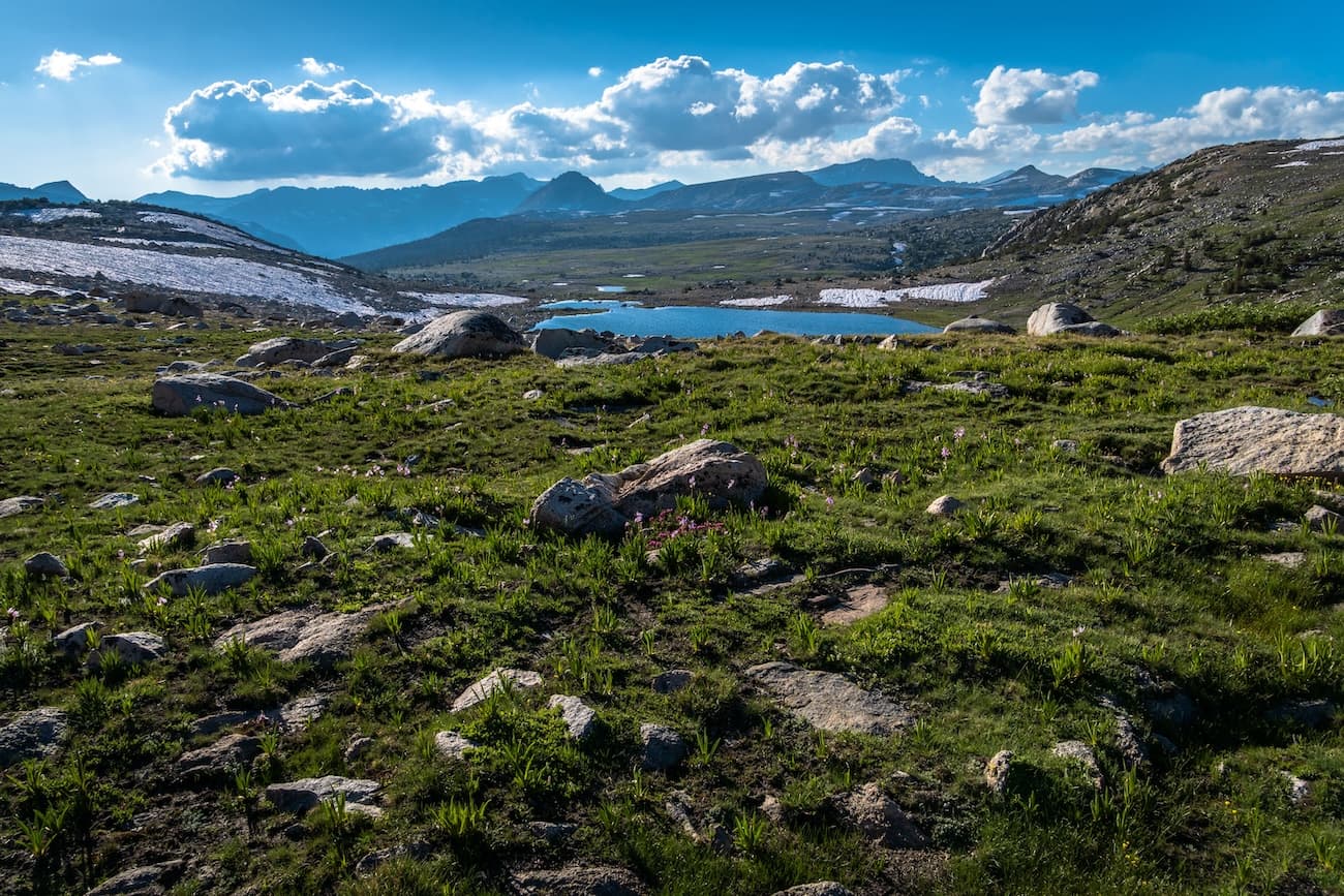
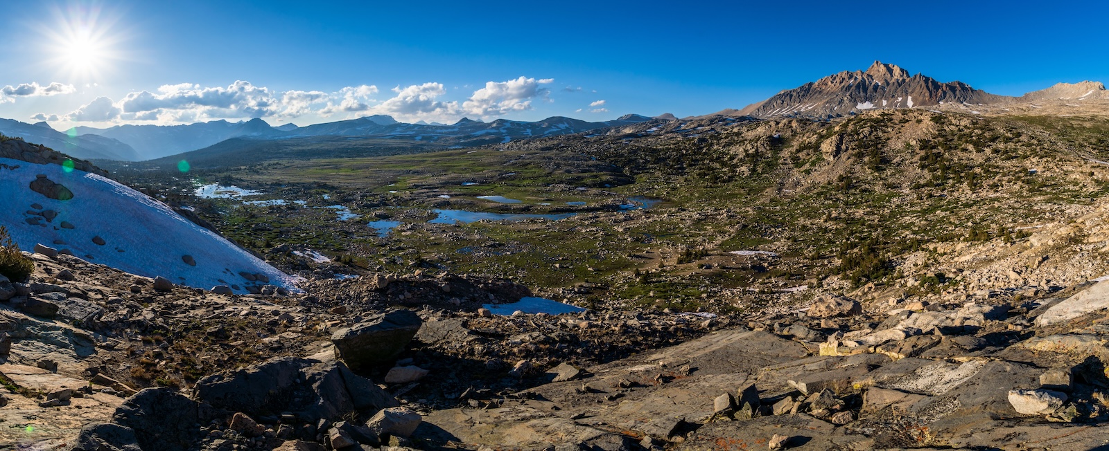
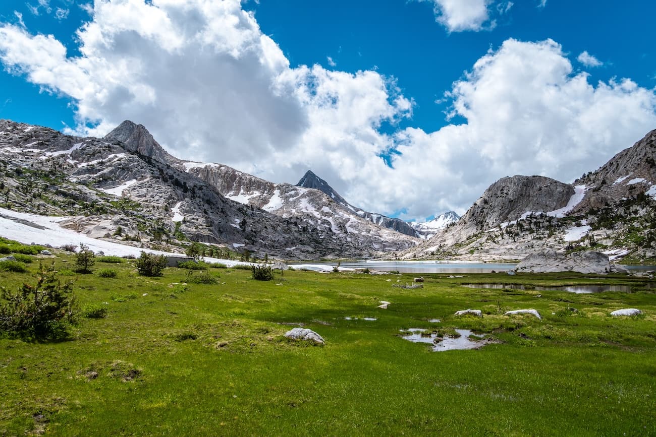
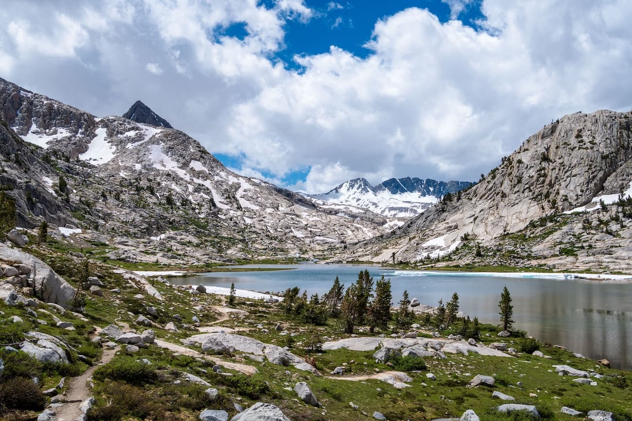
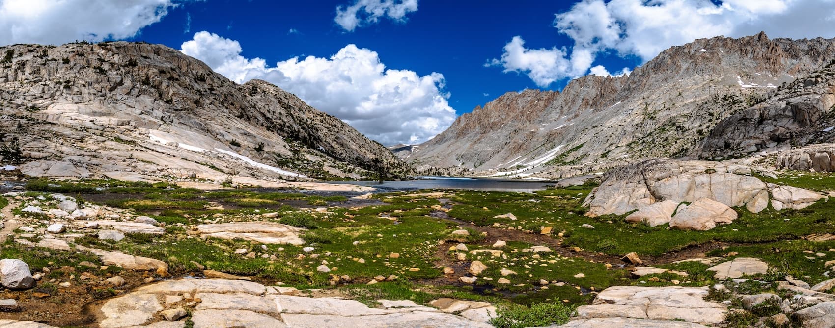
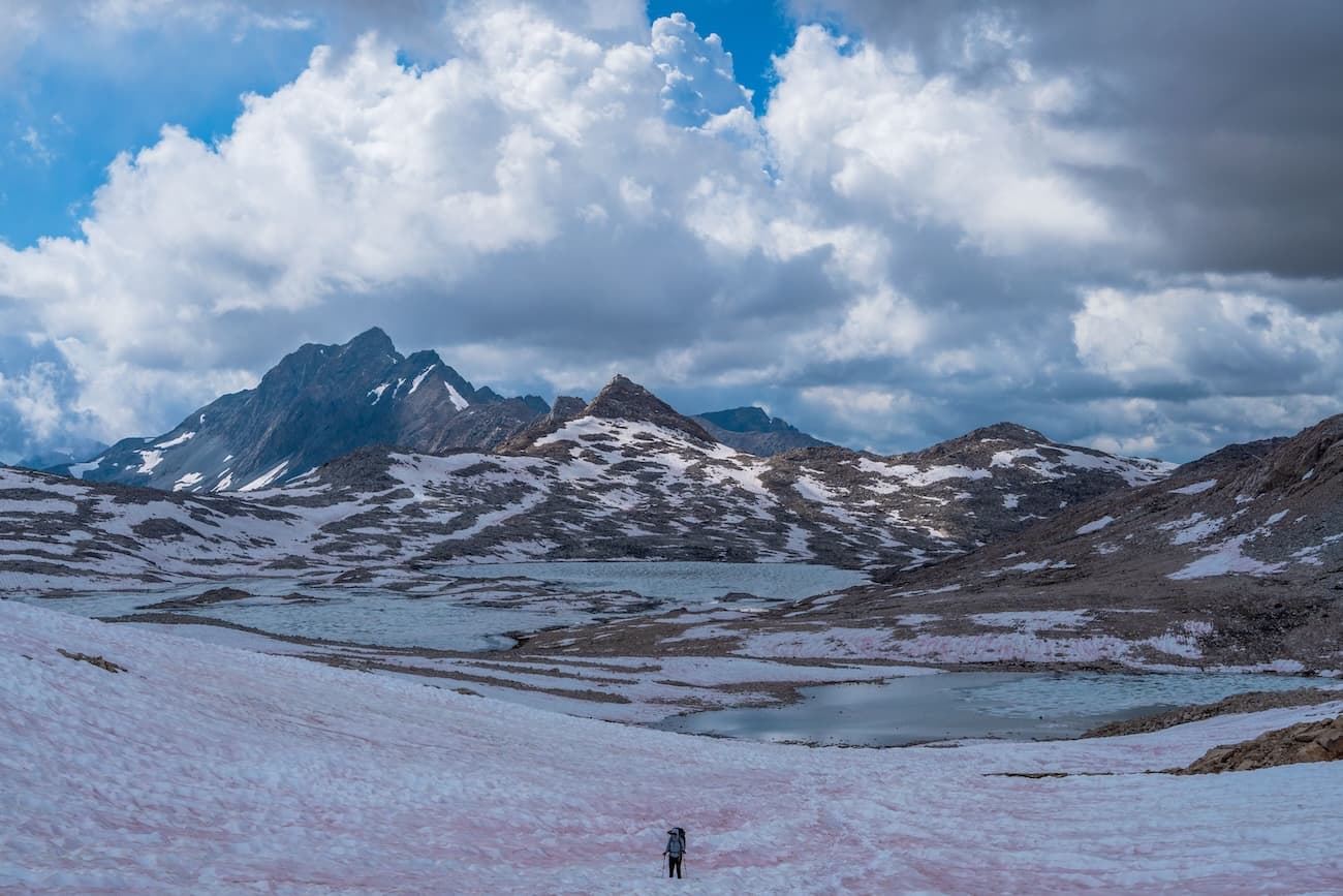
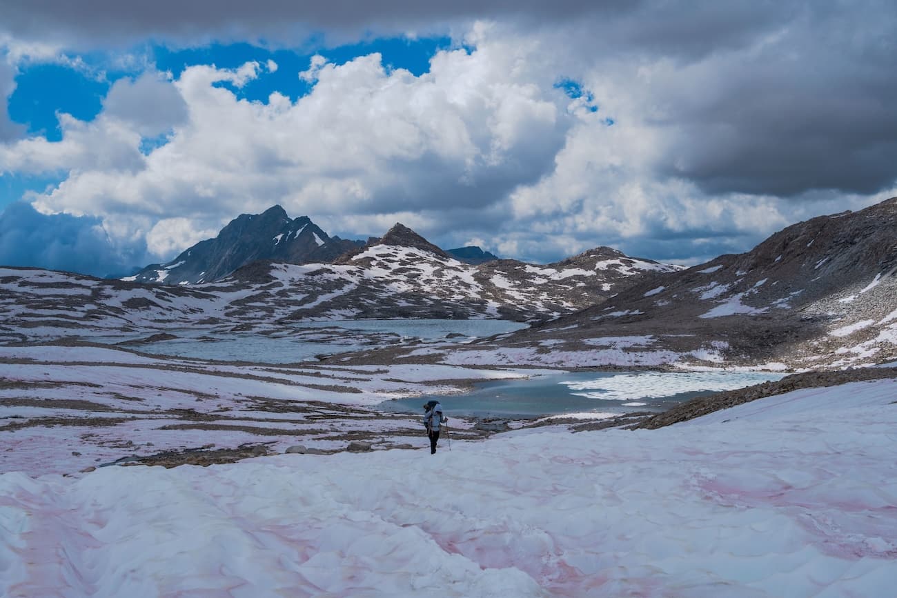
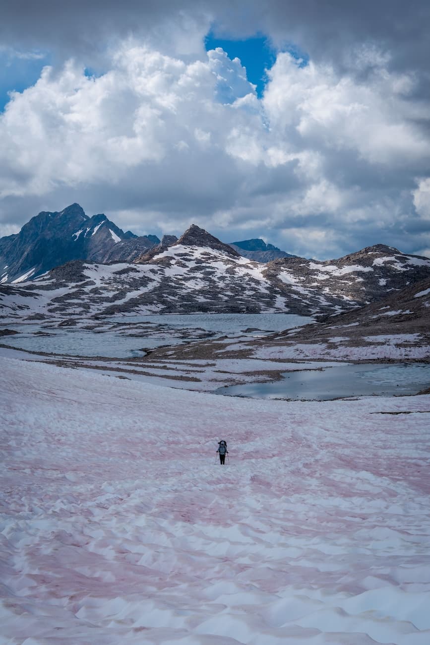
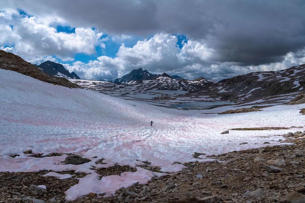
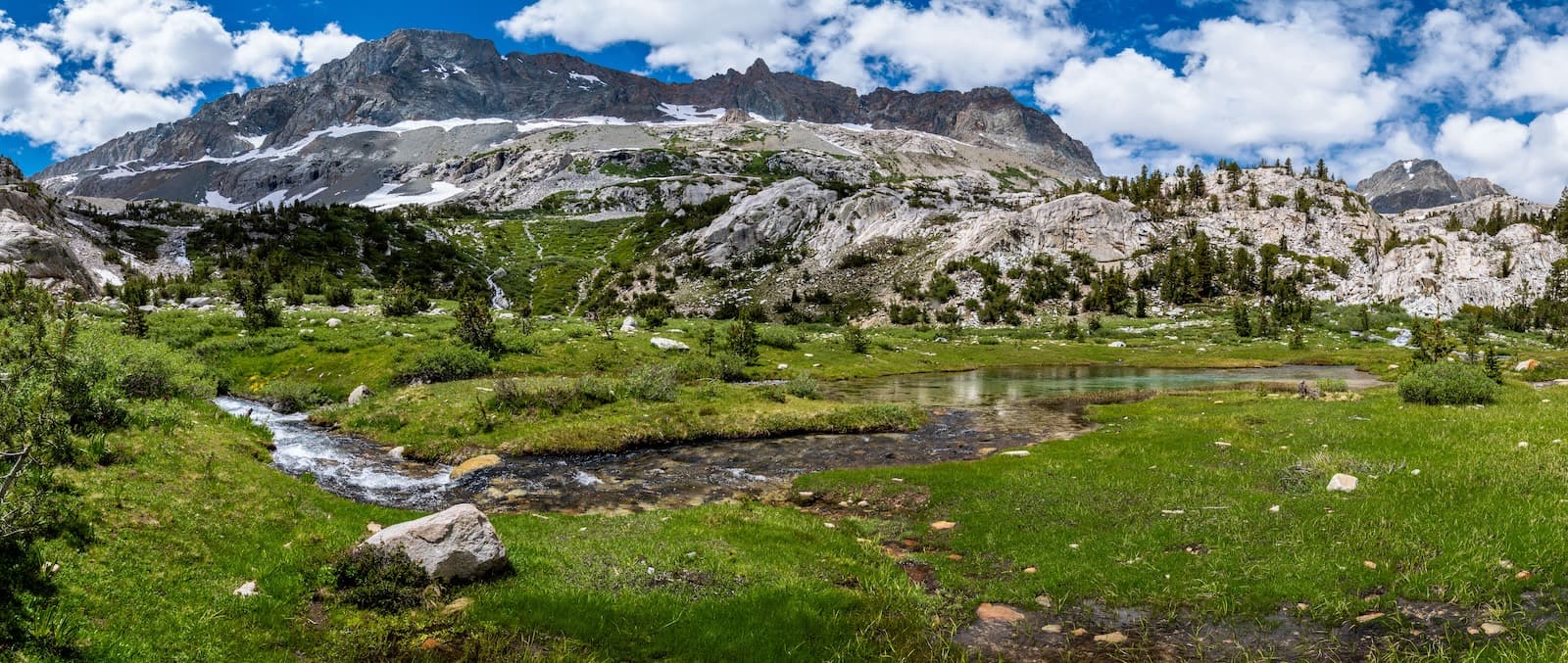
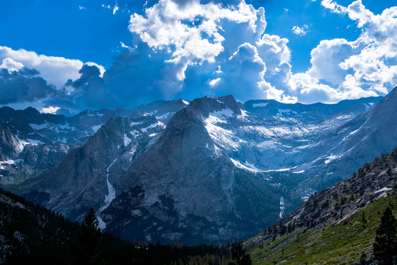
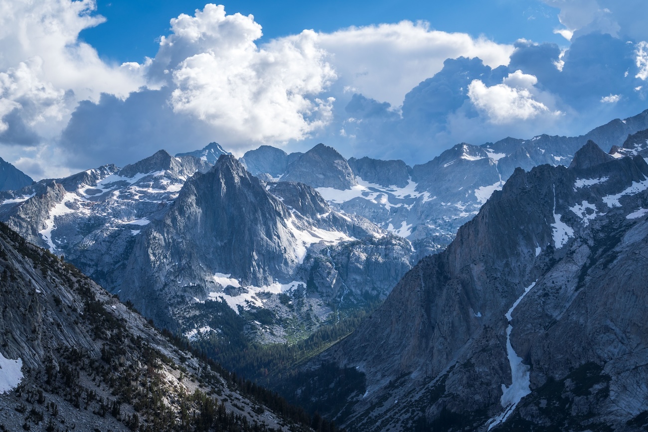
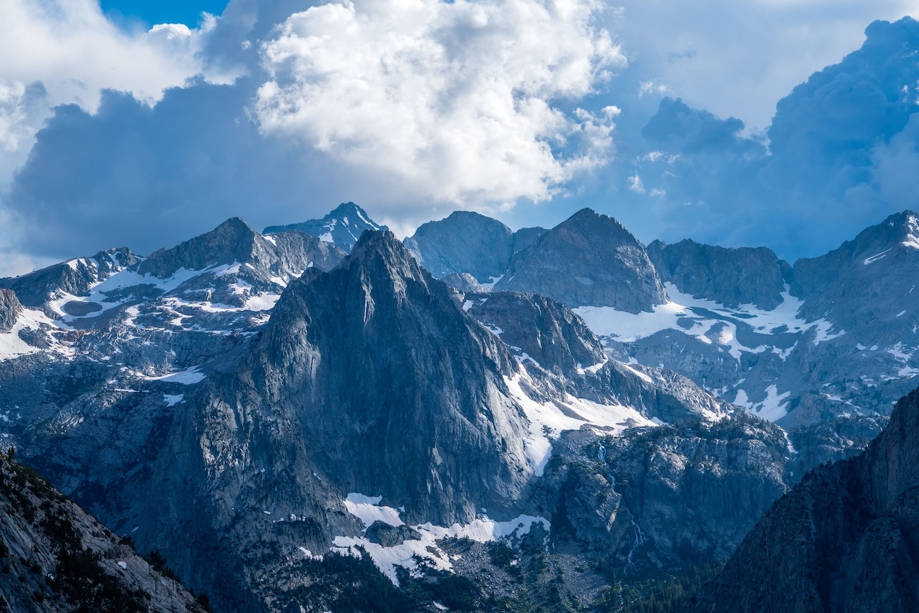
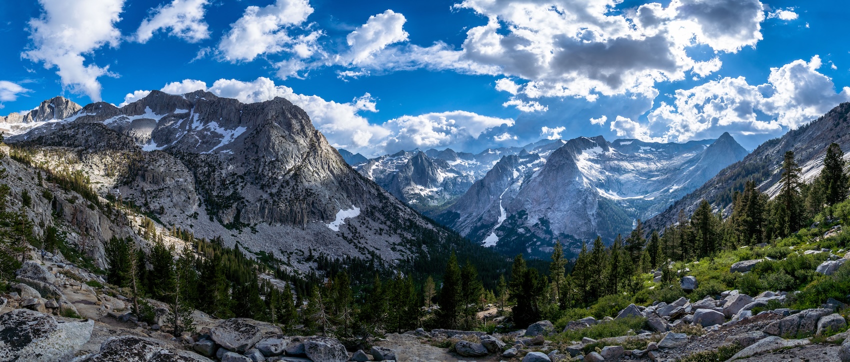
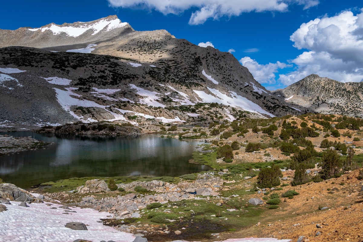
After returning to the pass, we continued on the main trail towards the desolate Summit Lake. I was suprised at how green and lush the basin was. There were beautiful snow capped peaks everywhere you looked.
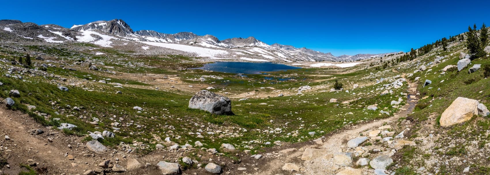
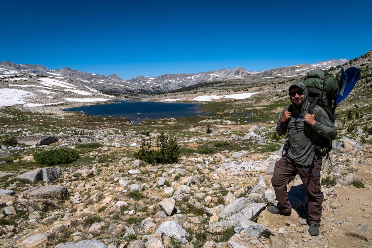
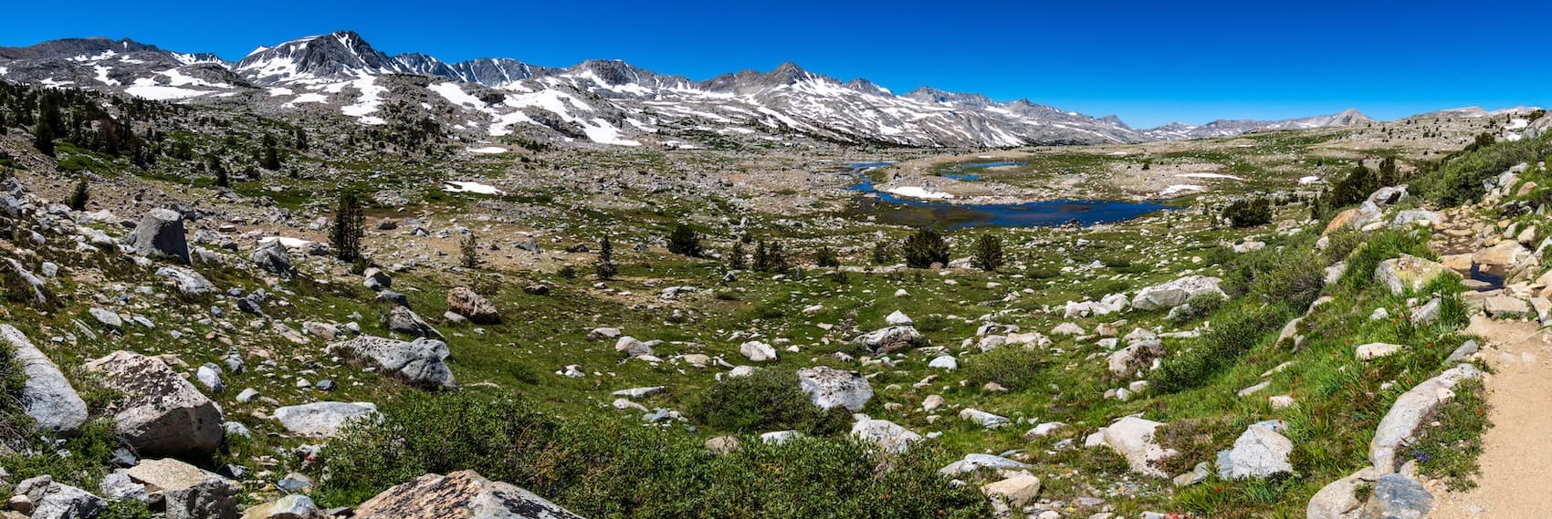
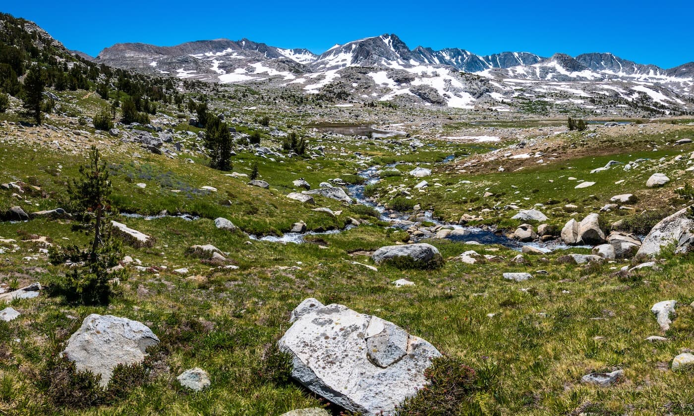
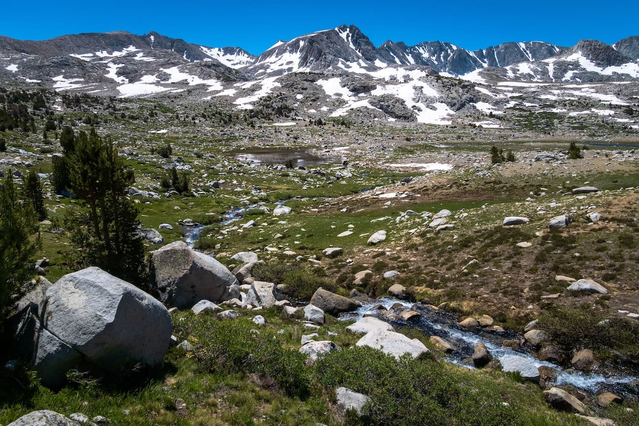
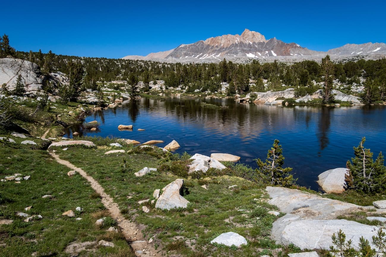
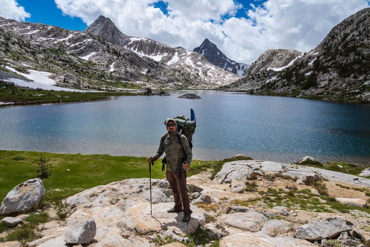
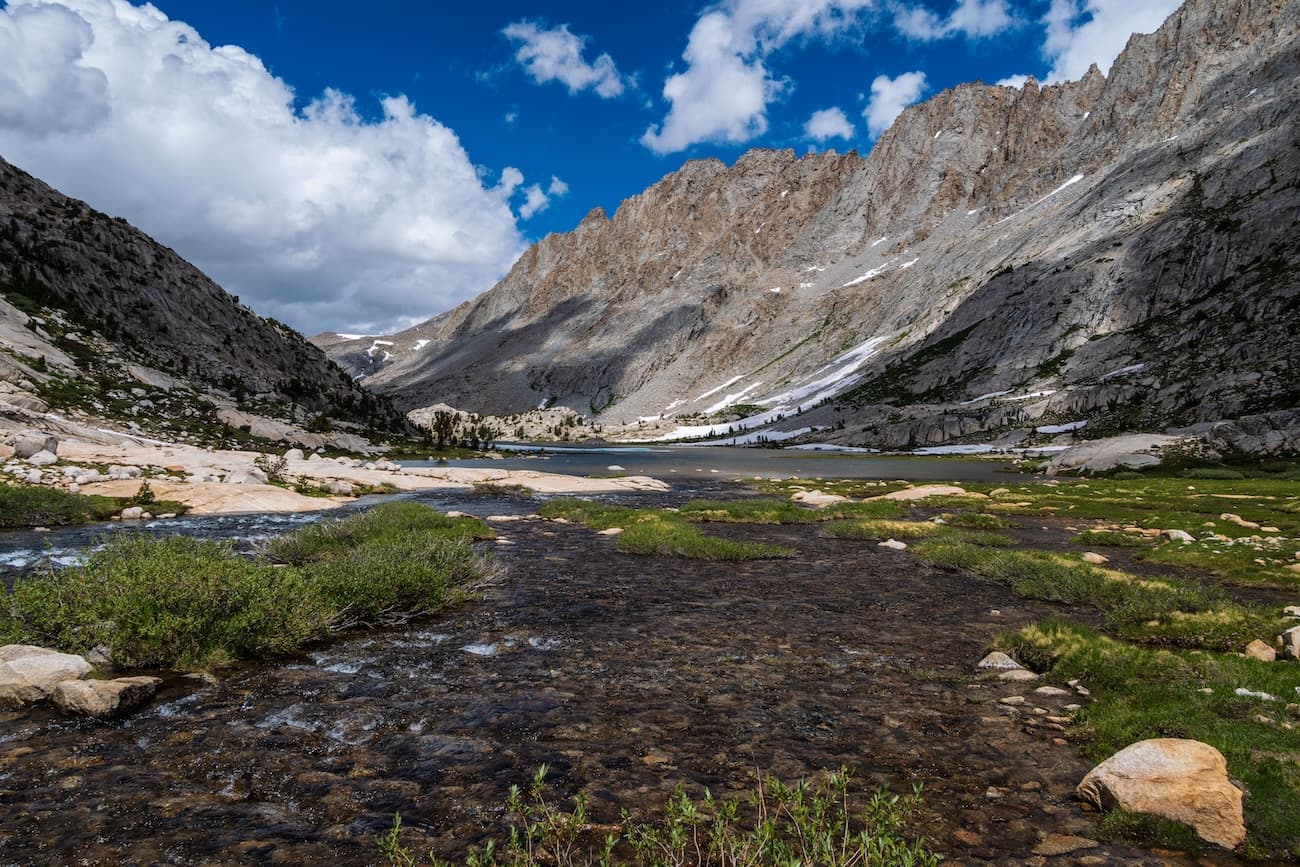
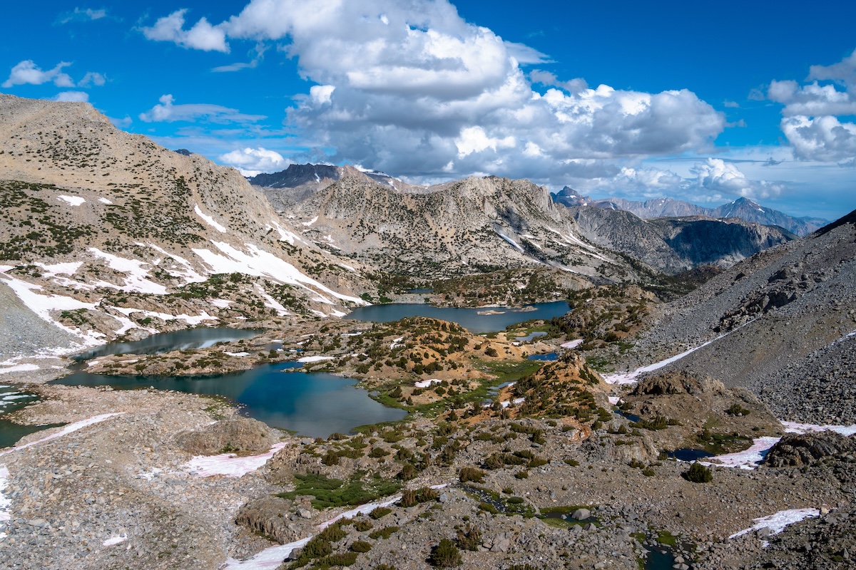
The trail followed the drainage down the basin. We reached a junction with a spur trail down to Golden Trout lakes and decided to have lunch there. After a short while we reached the sparkling shores of Lower Golden trout lake and had our lunch while admiring the view. After a hearty lunch we returned to the main trail and continued on.
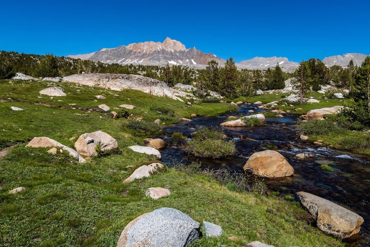
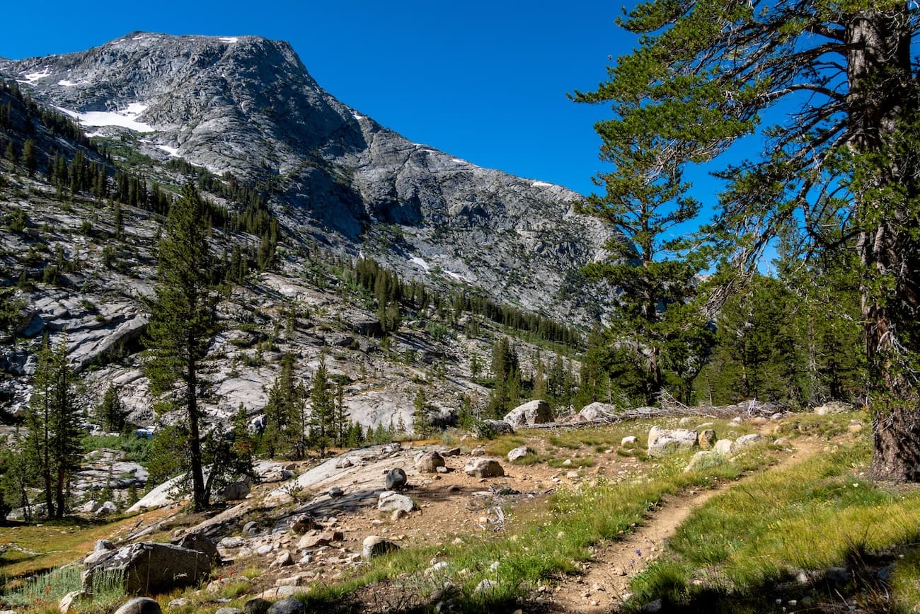
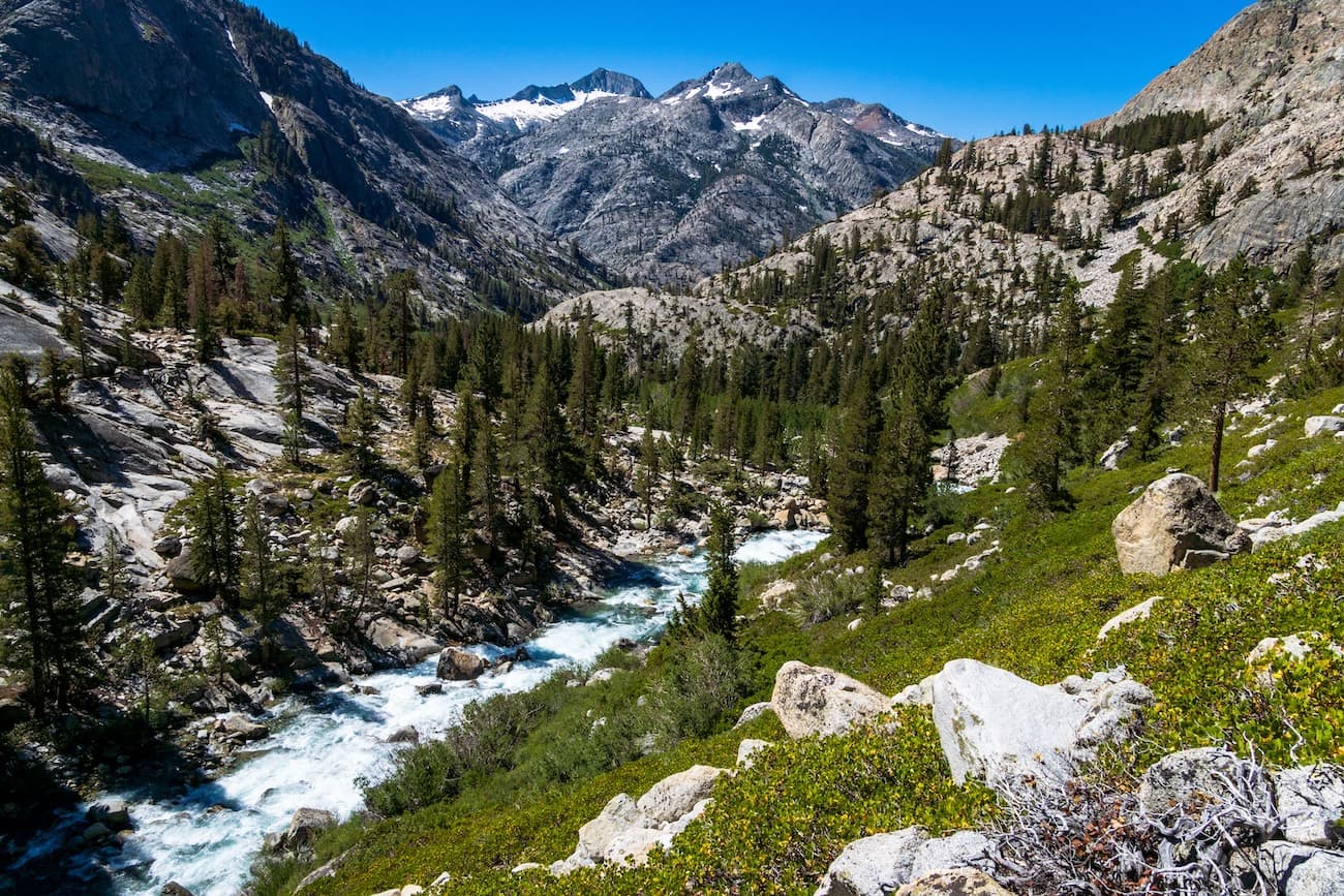
After a few more miles we started to leave the wide green expanse of Humphreys Basin and journeyed into a large glaciated ravine, called Piute Canyon. We hiked back down into the tree line and followed the swift moving Piute Creek. After some miles of wooded hiking we decided we would make camp at Hutchinson Meadows. We found a nice camp spot near Piute Creek and fought off the mosquitos as we had our dinner before turning in for the night.
Day 3
Hutchinson Meadows to Colby Meadows
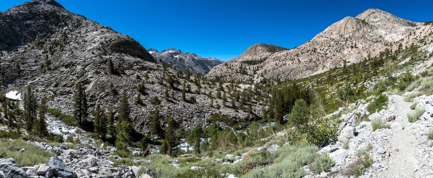
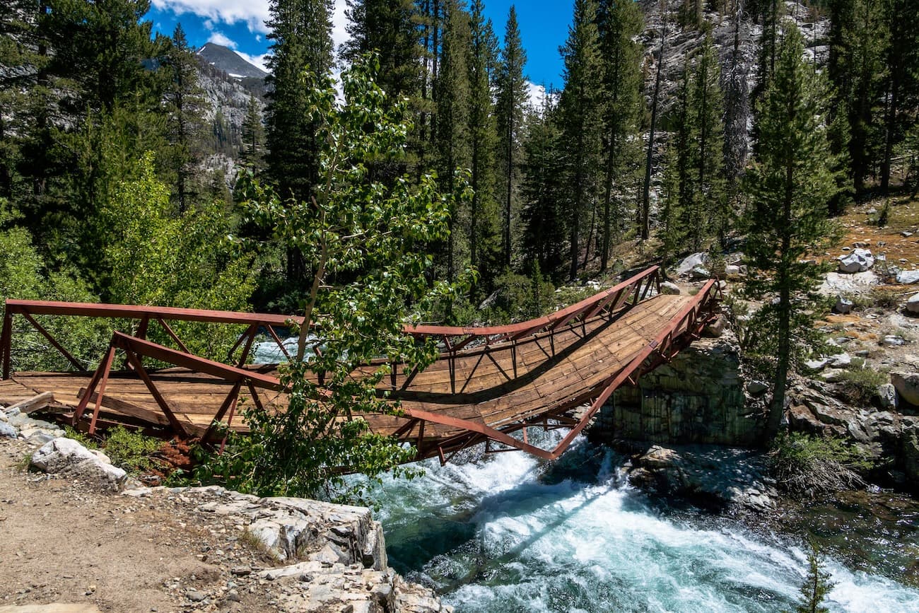
We slept in a bit and emerged from our tent to be greeted by mosquitoes. We packed up and continued down Piute Canyon crossing many small creeklets. After a while the trees thinned a bit and gave way to some great views of the canyon and the towering mountains above. By now Piute Creek was thundering down the aromatic tobacco brush which grew all around. We passed another group of hikers who told us more rumors of the appending bridge demolition. They said it wasn't that hard to cross, which gave us some hope. The San Joaquin bridge was only a few hours hike away.
We continued down on the switchbacking trail and arrived at the intersection with the Pacific Crest Trail/John Muir Trail which folllowed the roaring San Joaquin River through another large canyon. After stopping for a break and making water, we continued South on the PCT, entering Kings Canyon National Park. We followed the roaring river upstream, all the while worrying about how treacherous the bridge crossing might be.
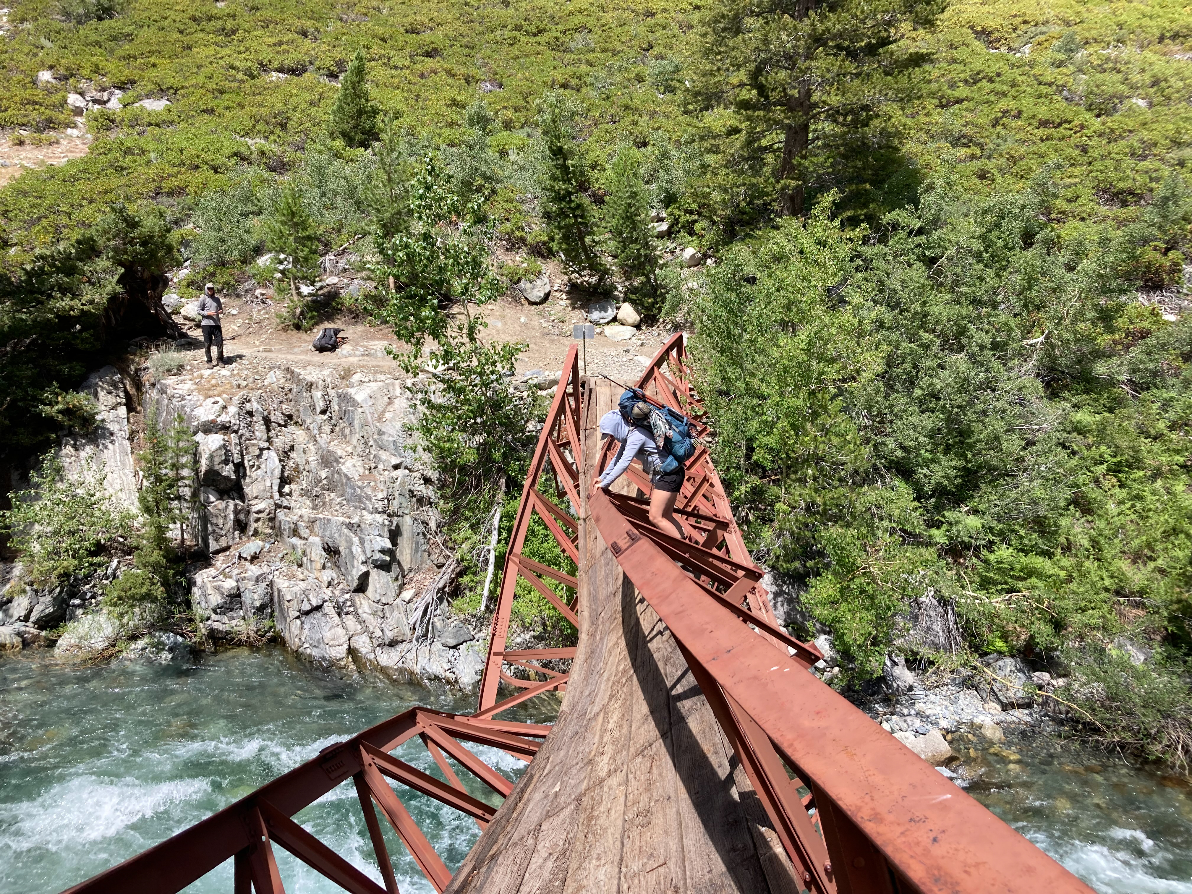
We arrived at the bridge and inspected the damage. The red steel bridge had been twisted like a DNA helix from what I presume was an avalanche. There was a female hiker who had just crossed. She said it wasn’t too bad. Then another hiker arrived at the other side, and we watched him traverse the mangled bridge on the highside. We decided to go for it. I went first and climbed to the high side of the bridge and began shimmying my way across. It was a bit unnerving looking down and seeing the raging river 15 feet below. I eventually made it across then waited for Sam who made it without incident.
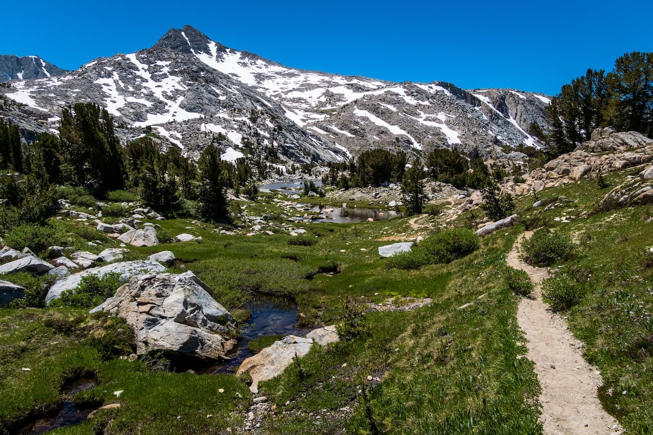
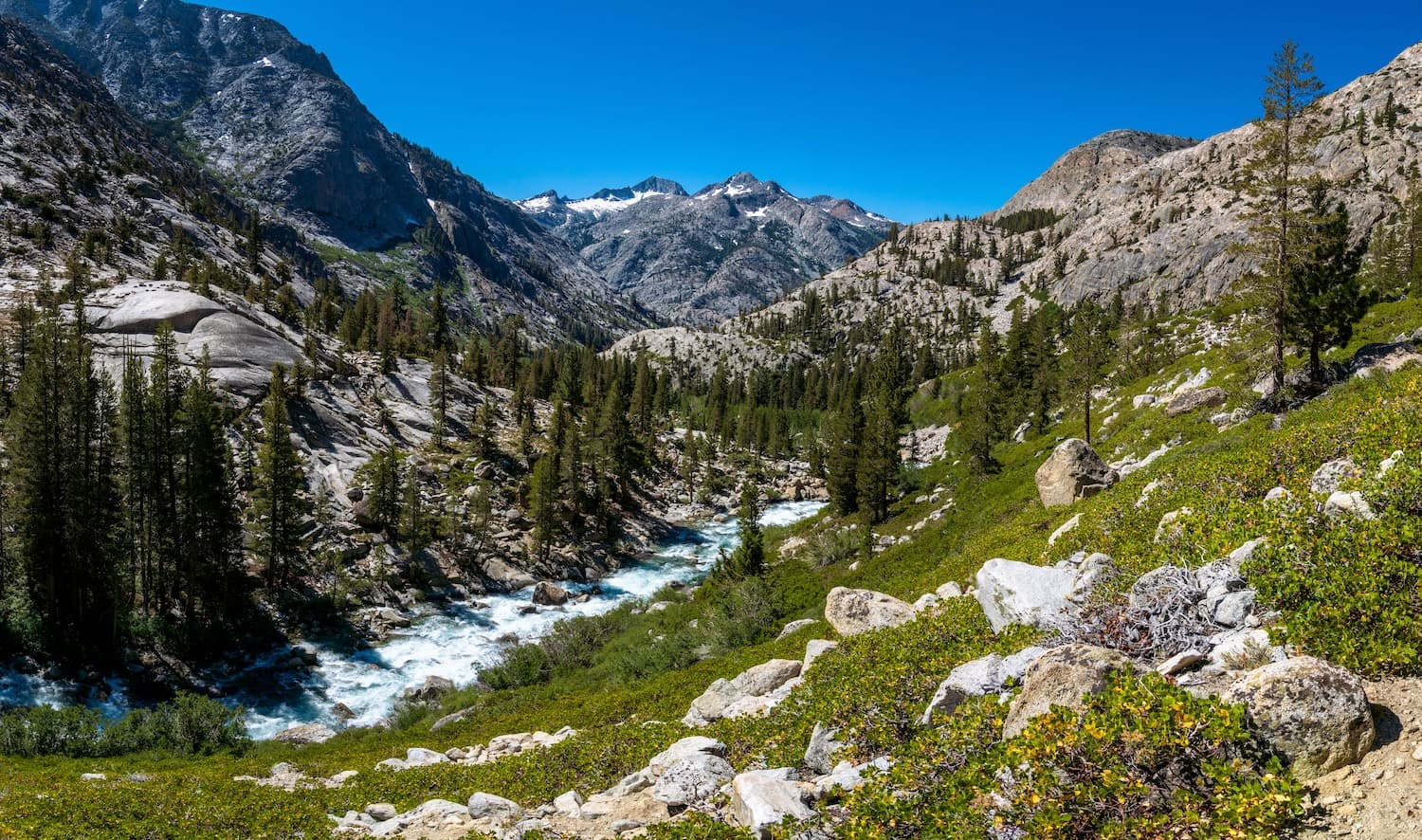
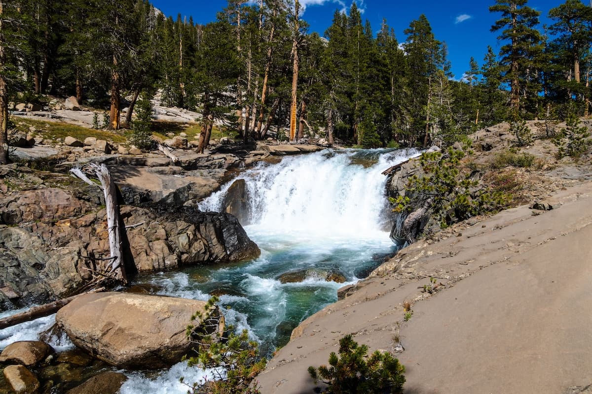
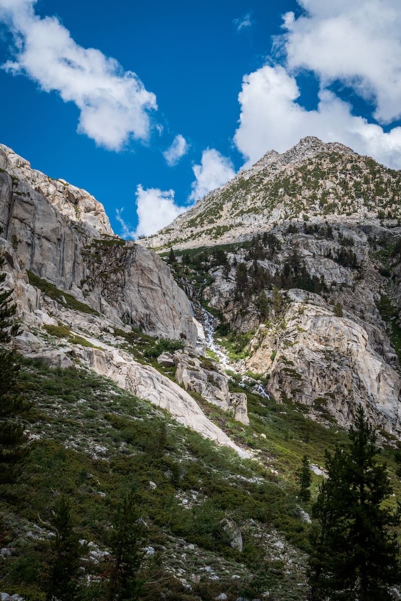
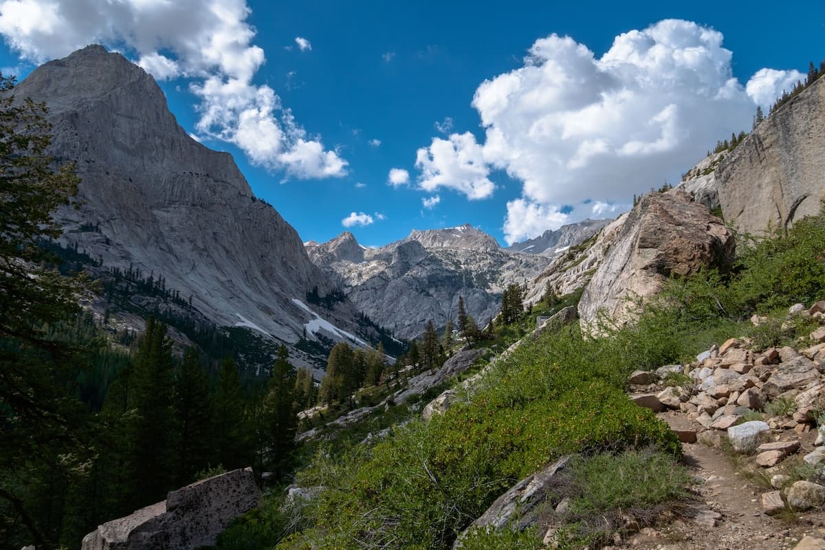
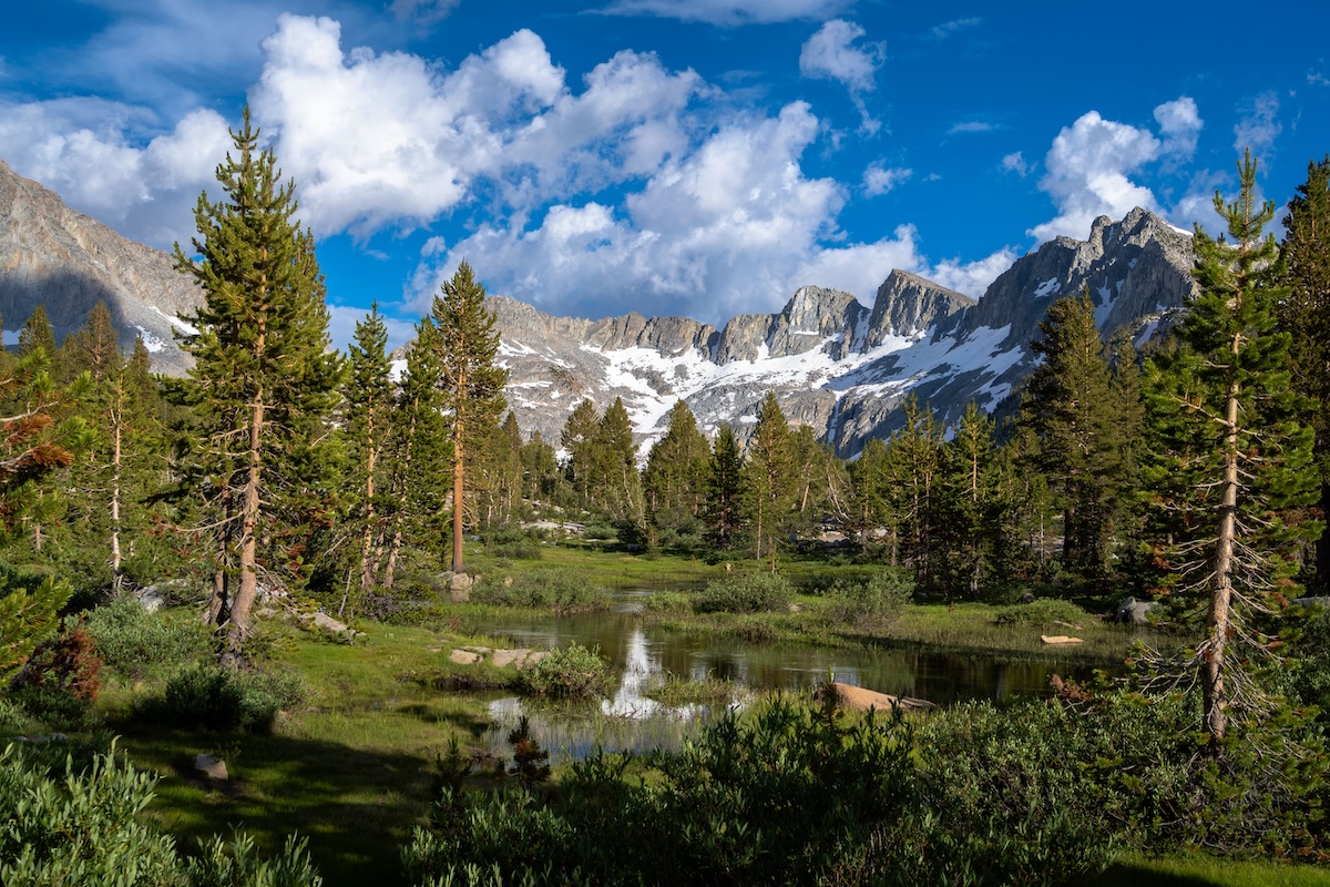
With a great sense of relief we headed onwards, hoping to reach Evolution Lake to camp. We followed the San Joaquin for a few more miles until we reached a trail junction. We turned left following the John Muir Trail/PCT up a set of switchbacks. As we climbed we were treated to nice of views of the canyon. The trail followed Evolution Creek, and there were some cool water falls as we got to the top of the switchbacks.
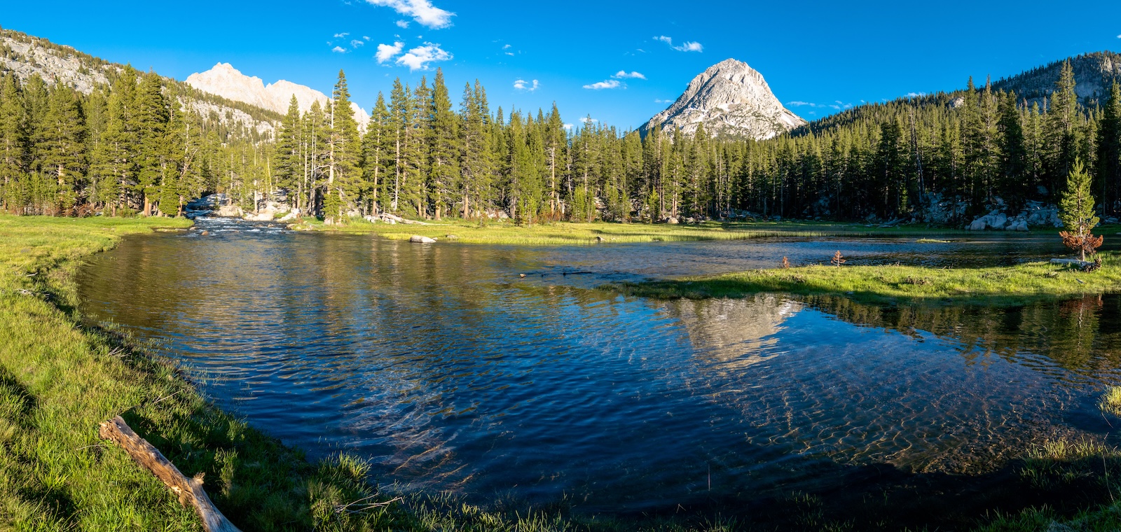
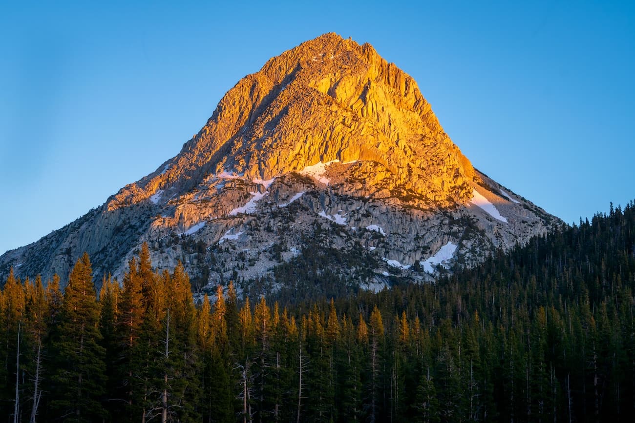
The trail leveled out and we crossed Evolution Creek and hiked through some beautiful forest. The trail continued to follow the meandering creek and featured some scenic meadows. First we passed through Evolution meadows, then we passed the ranger cabin at McClure meadows. By now it was getting late in the afternoon, so we decided to call it a day and set up camp at Colby Meadows which had a great view of a nearby pyramid shaped peak. Though the views were great, the mosquitoes were hellacious. We had dinner and went to bed, looking forward to spending the following day relaxing at Evolution Lake which lay just an hour or so ahead.
Day 4
Colby Meadows to Evolution Lake
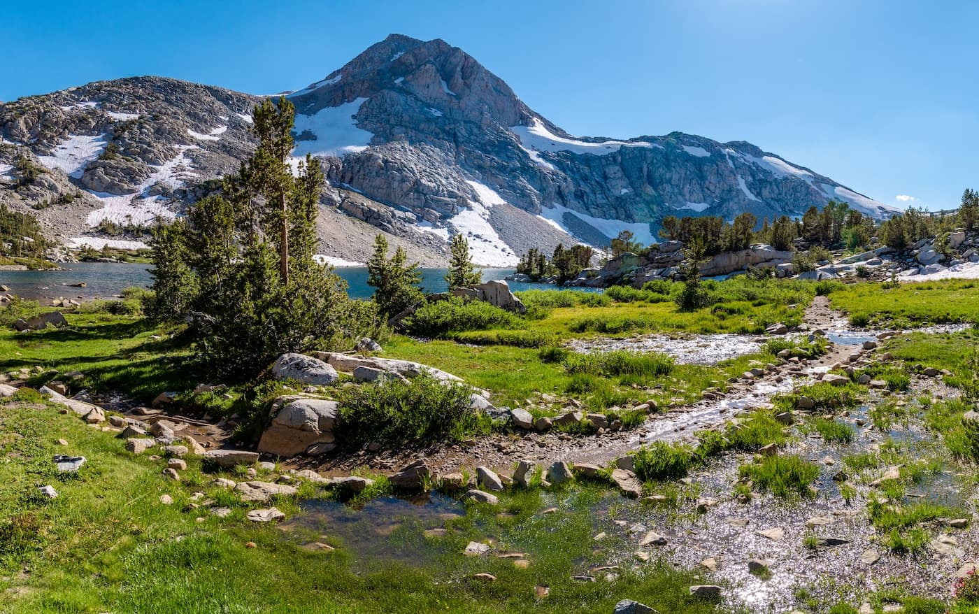
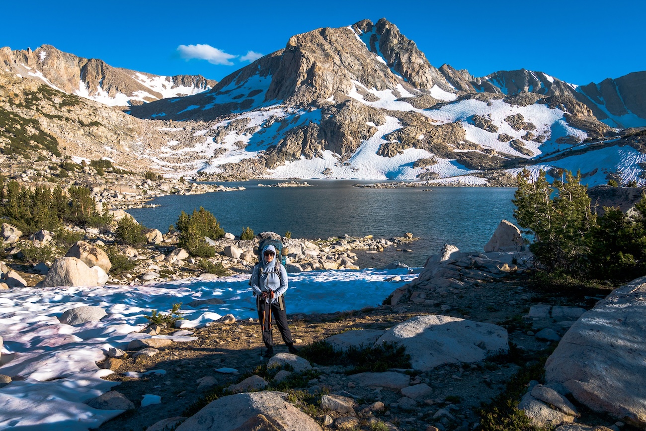
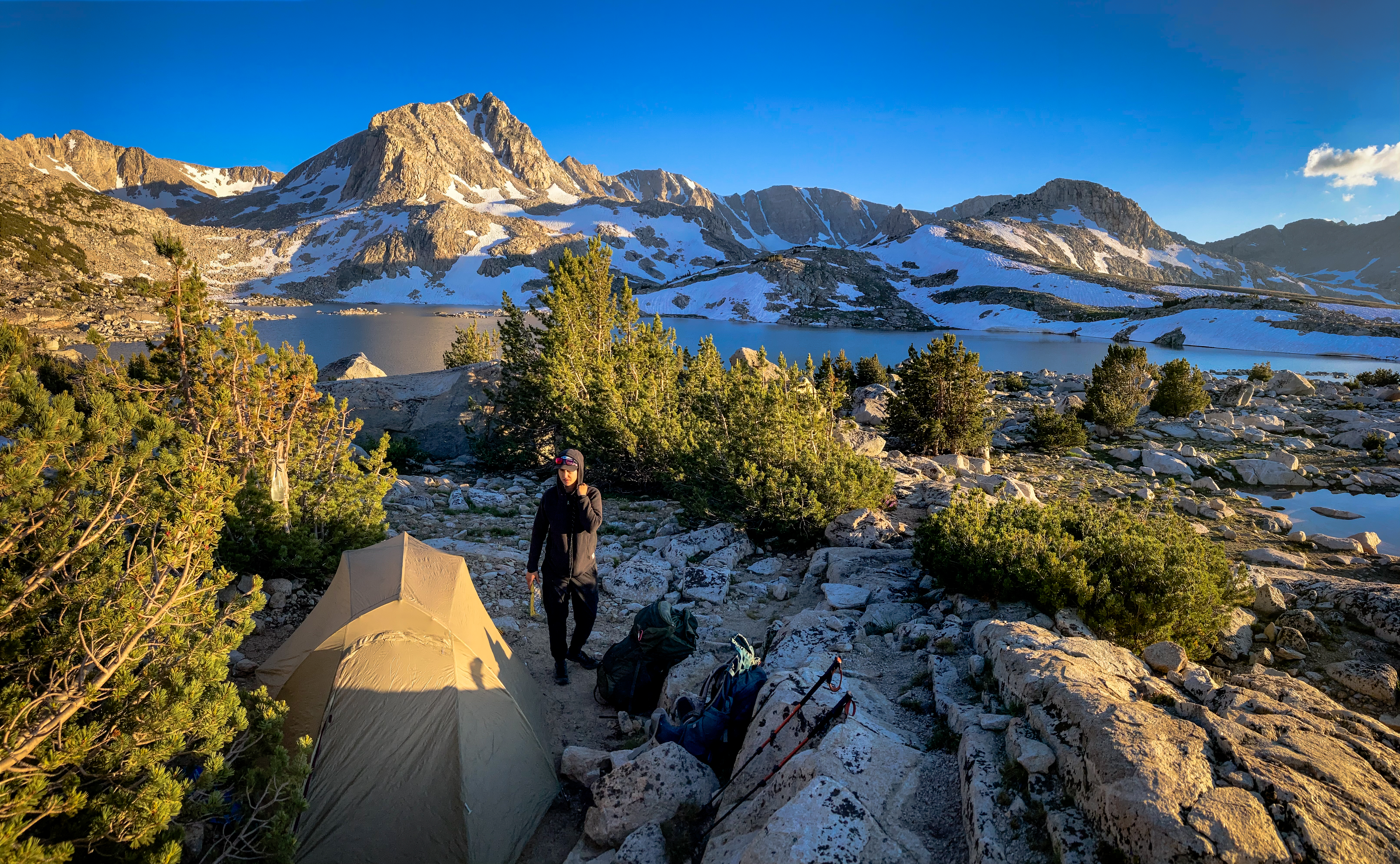
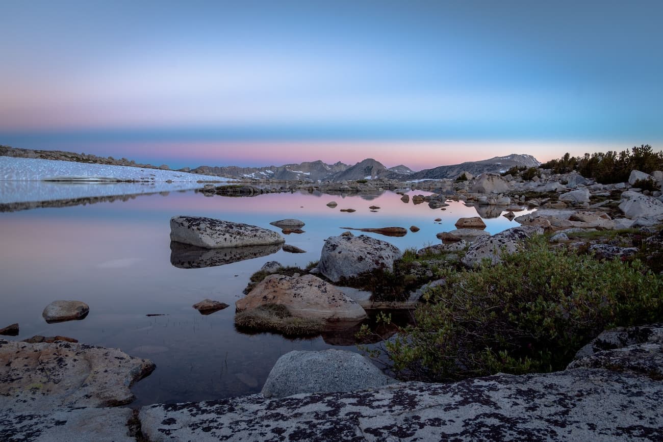
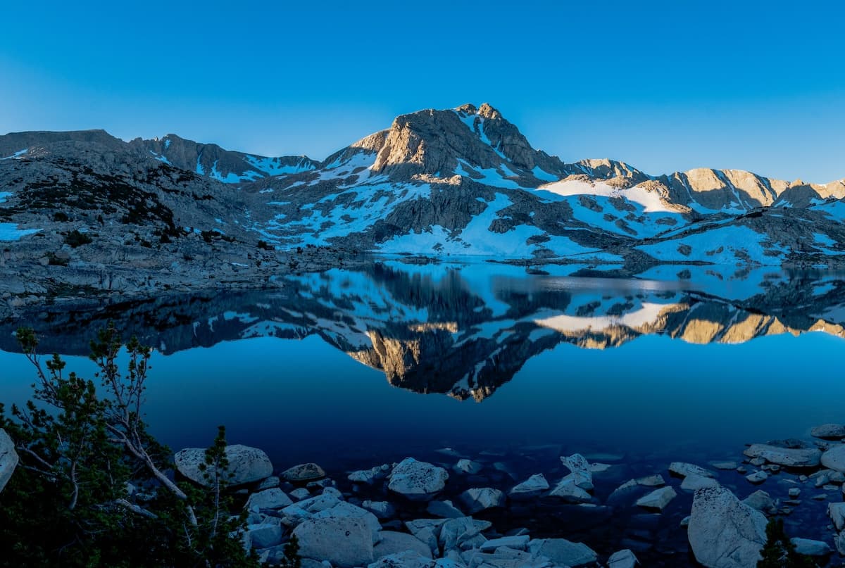
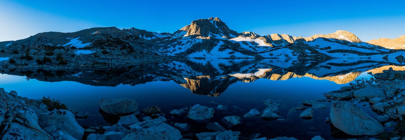
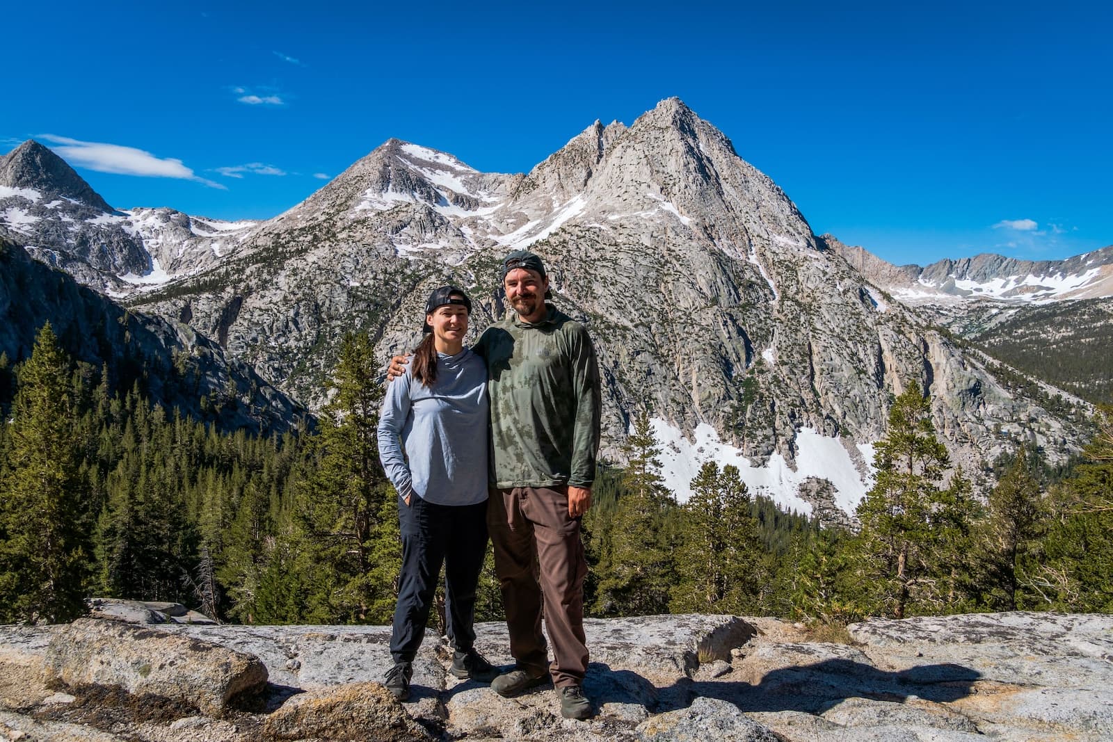
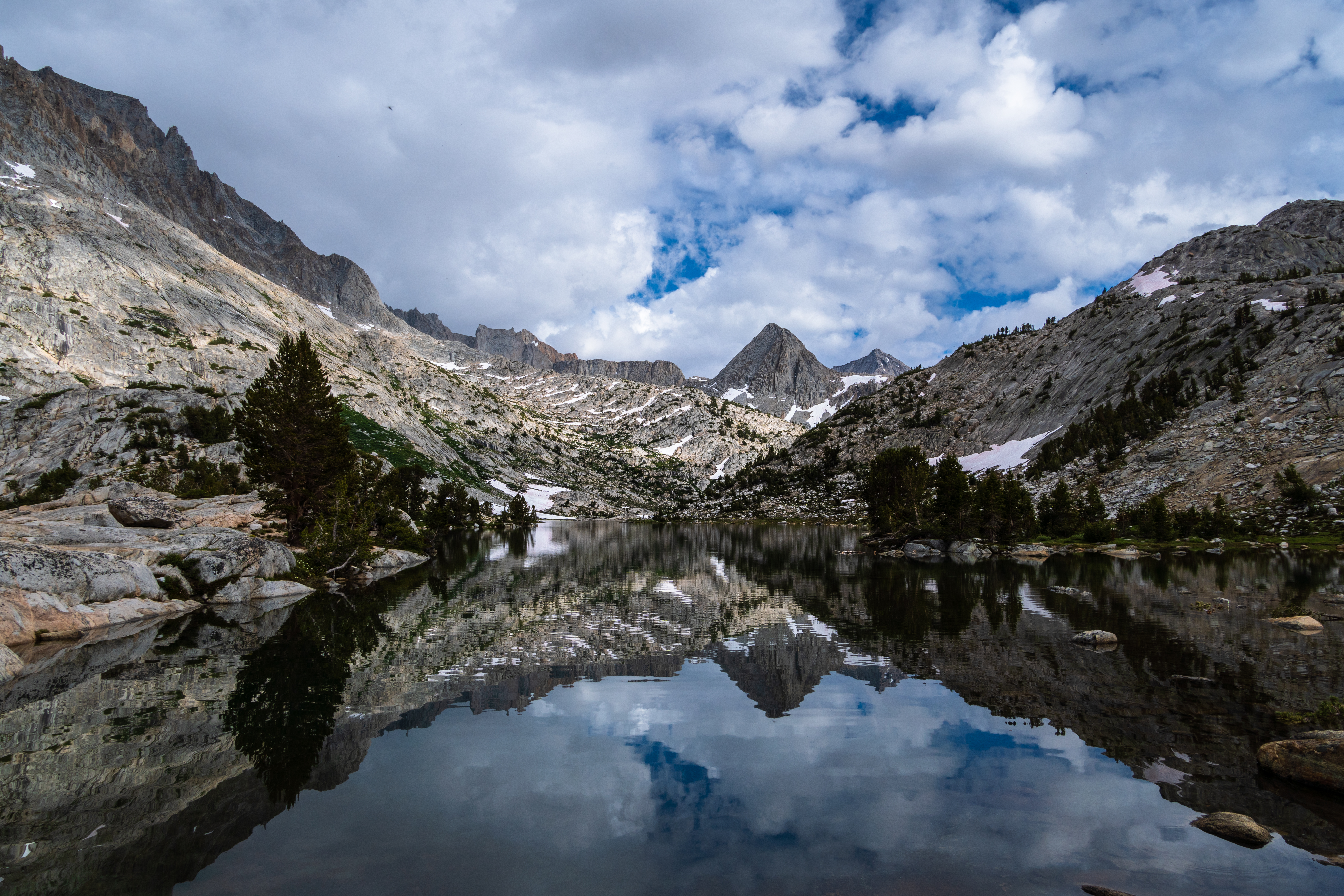
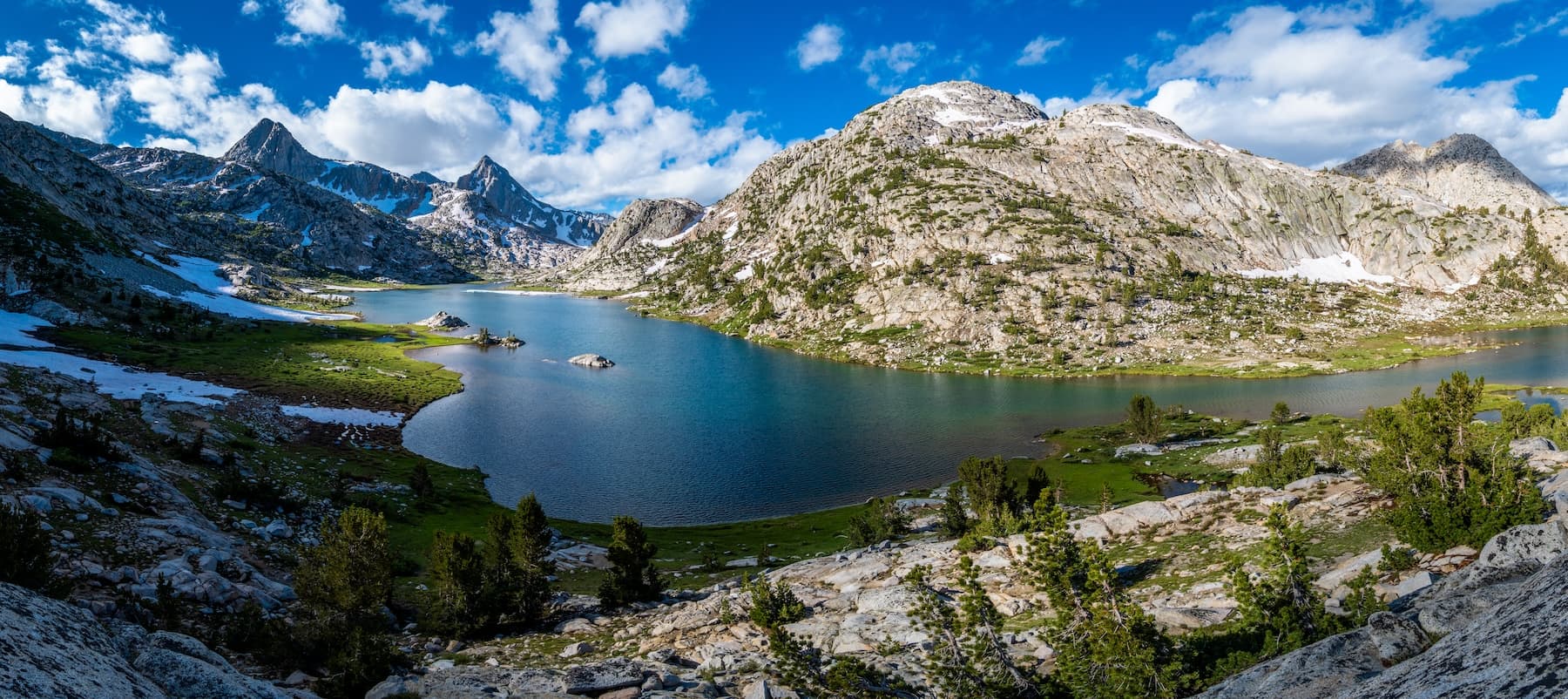
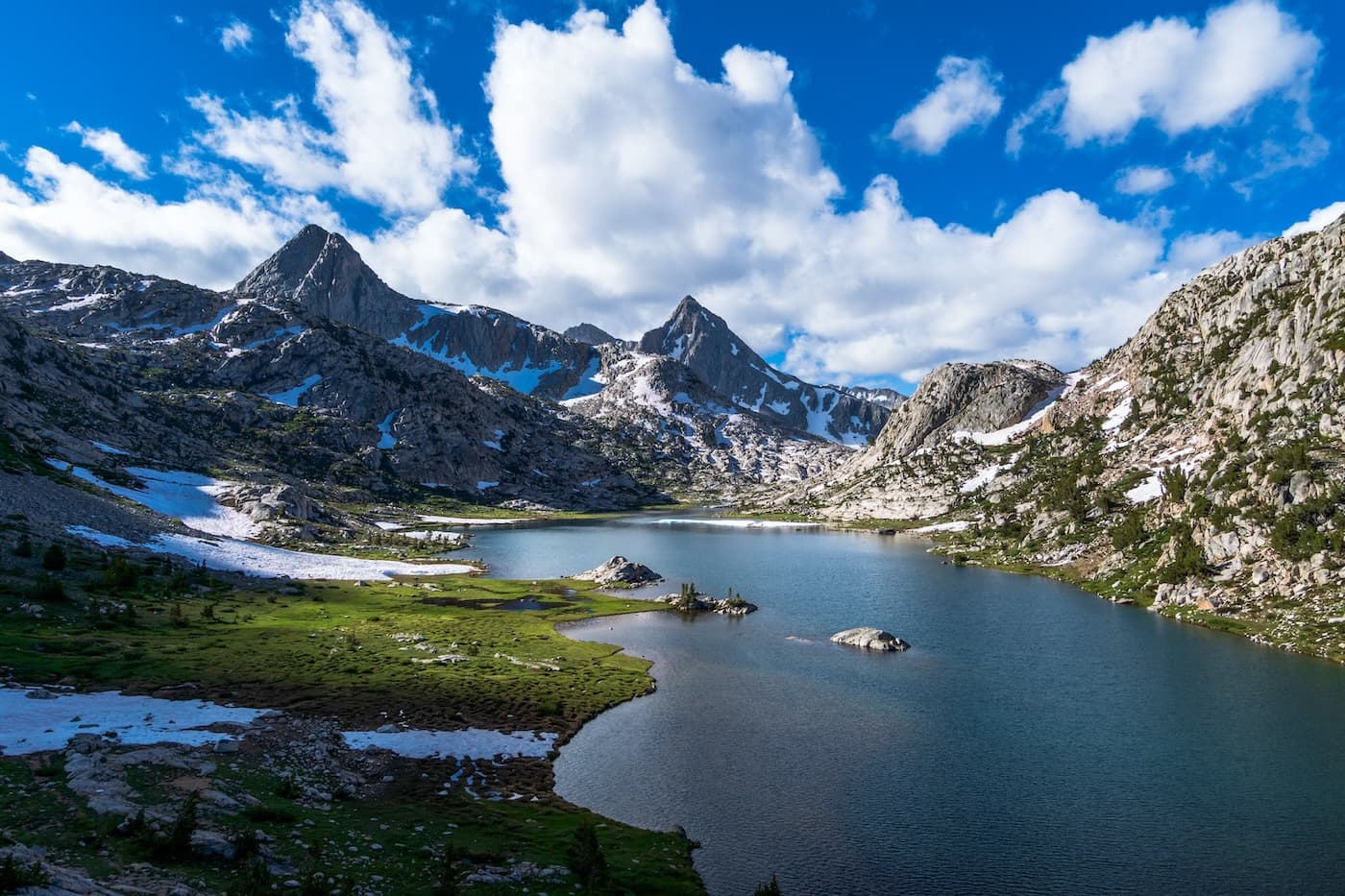
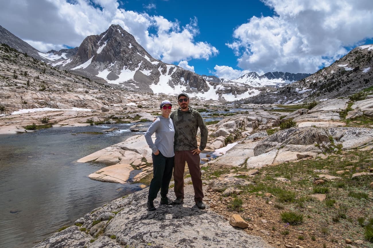
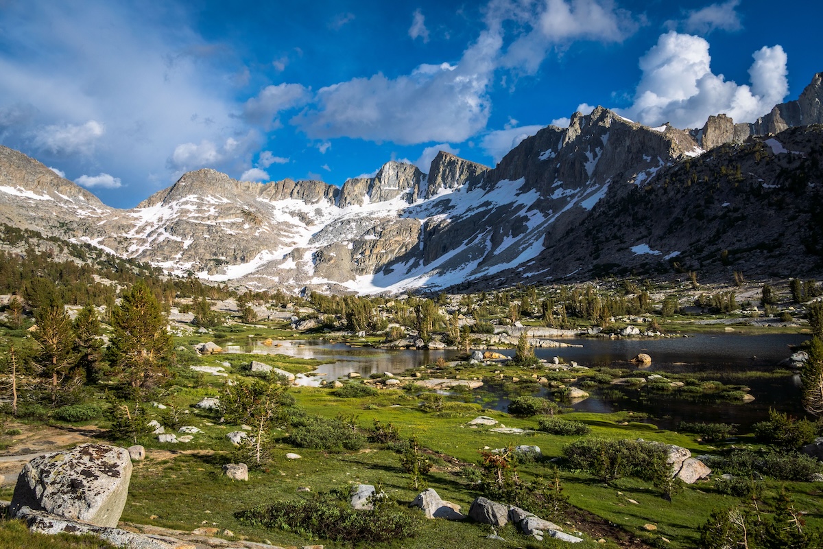
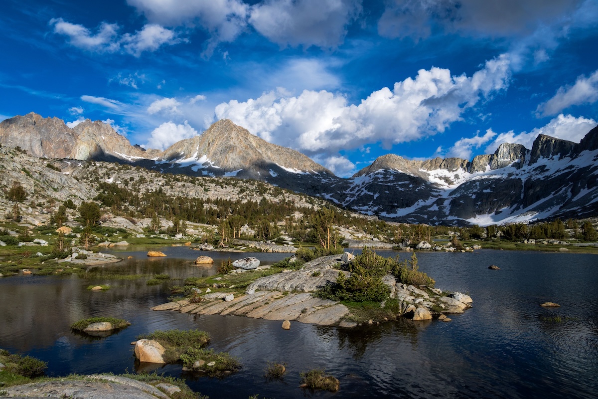
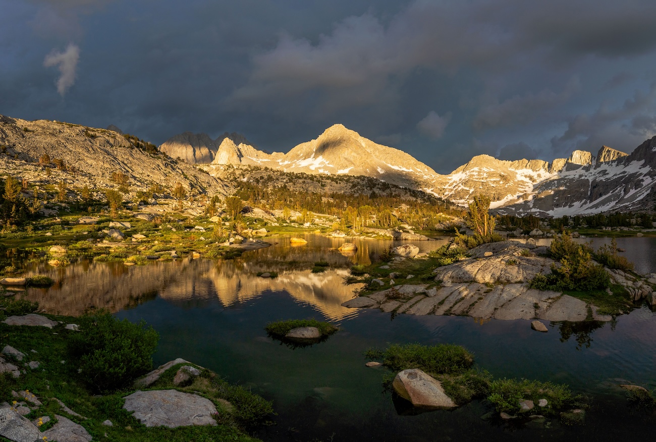
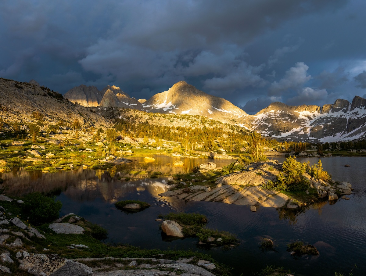
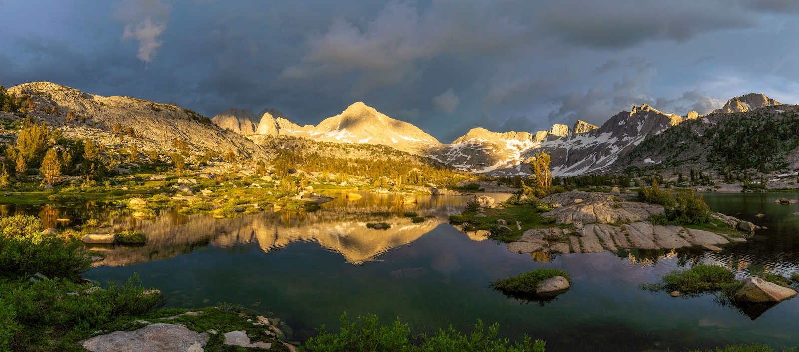
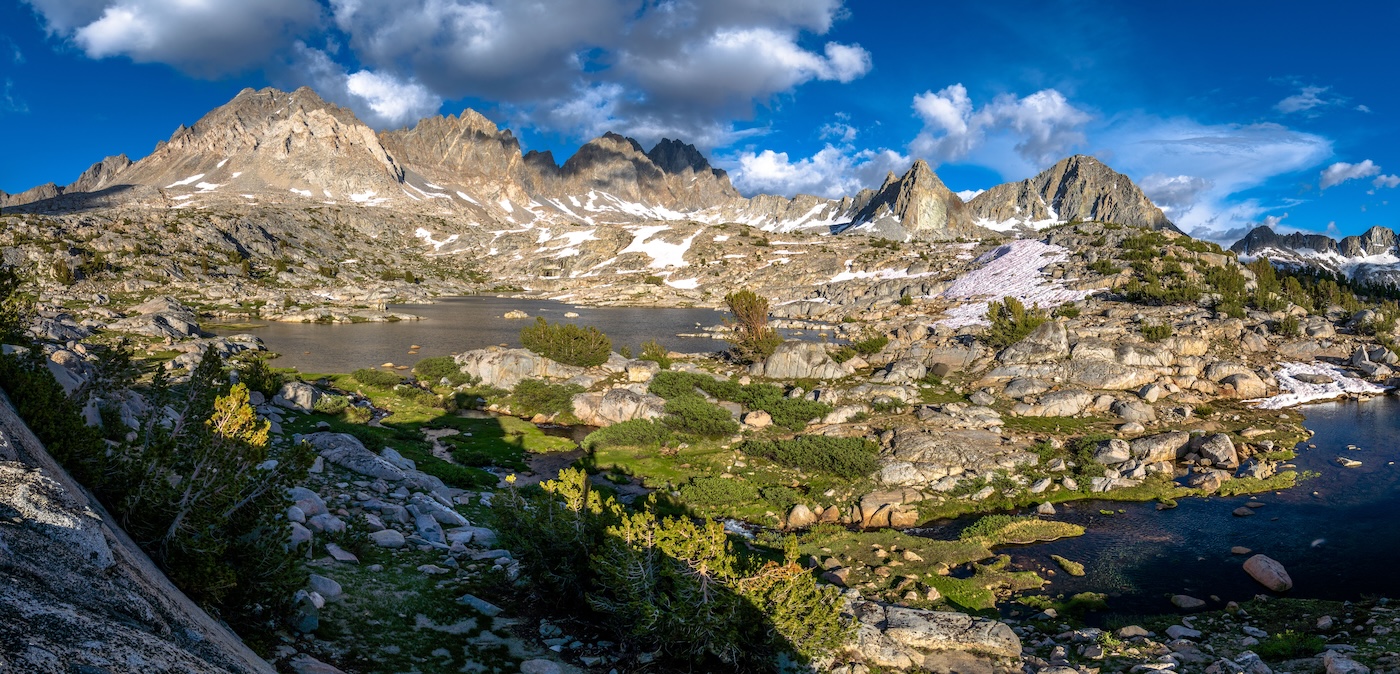
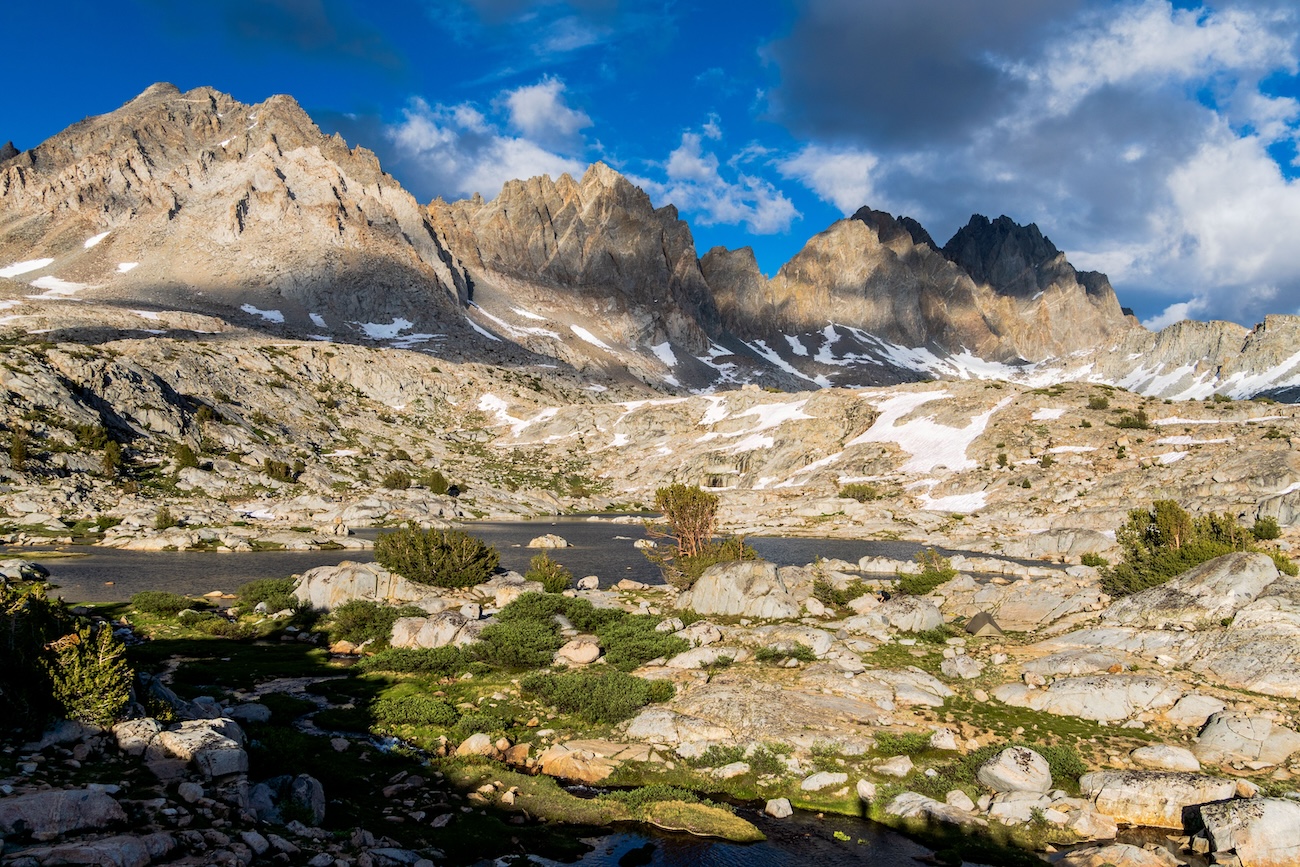
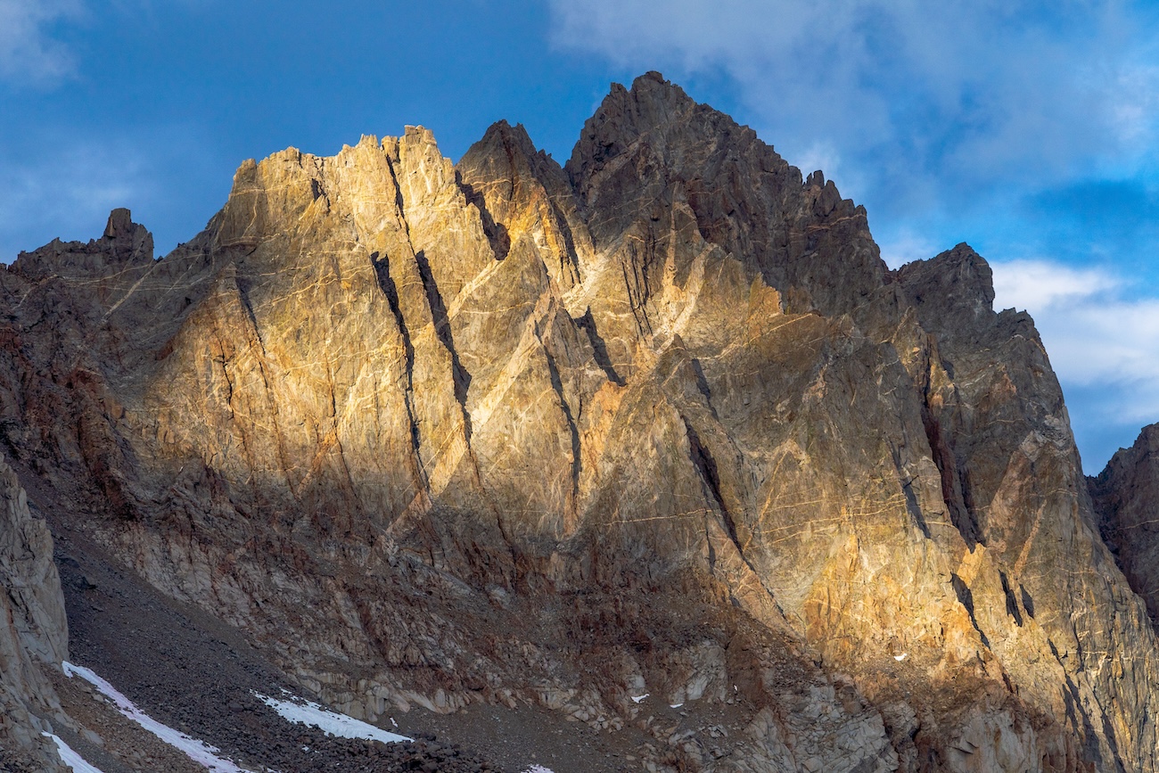
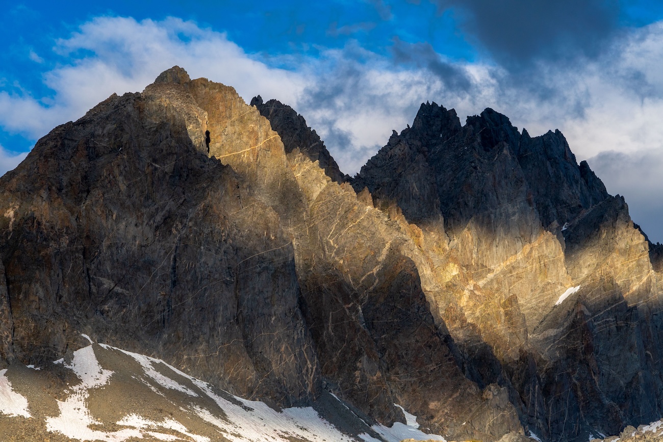
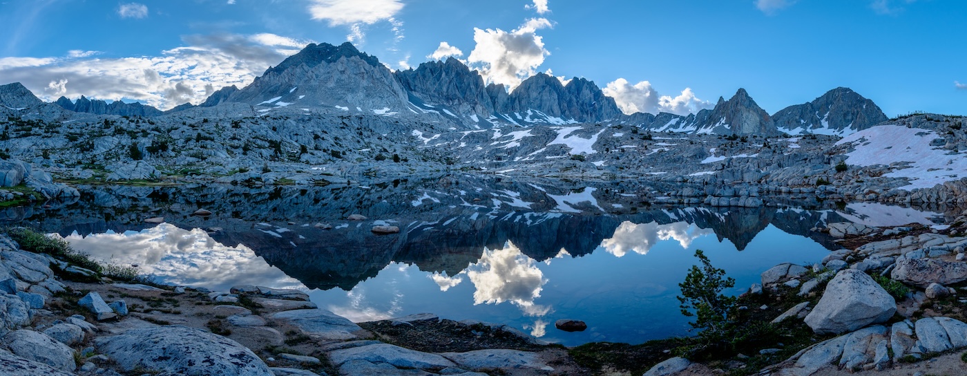
We got up early beating the mosquitoes and hit the trail, eager to get to our destination and relax. After Colby meadows, the trail started swtichbacking upwards towards the Evolution basin. In not too long, we reached the top and were rewarded to some great views of the huge granite mountains surrounding us. The forest behind us, we now ventured through the beautiful sub alpine terrain. There was a massive granite wall to the East. We passed some tarns and after a few minutes, Evolution Lake revealed itself. The large alpine lake seemed even more spectacular then when I had first seen it on my PCT trip twelve years earlier. This time I got to really take it in. Incredibly we had the whole lake to ourselves for most of the day. We set up our tent at a great camp spot on the Northern end of the lake. There was a small granite hill behind our camp which offered a great vantage point of the lake and the mountains and valley behind from where we came. I knew this would be a great location to take some pictures in the evening.
We spent the day just relaxing and drinking wine. We took the packraft for a little row around the lake, but after a bit, a brief rain shower drove us back to the tent. The rain however didn't last long, and we emerged from our tent. Evolution Lake was a stunning place to spend the day. The small scattered trees provided some nice relief from the wind and sun. We were surrounded on all sides by huge magestic granite mountains. Definitely one of my favorite lakes in the Sierra.
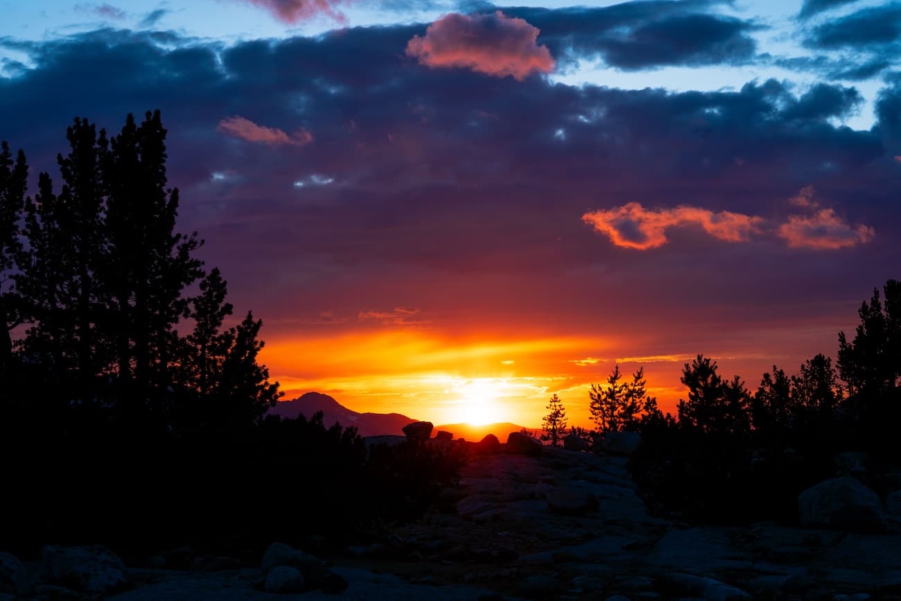
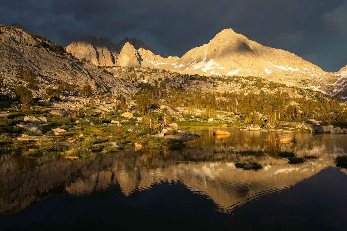
At dusk a couple of hikers arrived and set up camp. They were the first people we had seen since the bridge crossing. The day had become partly overcast since the rain but the clouds began to thin as the sun was setting and we were lucky to behold a gorgeous colorful sunset. The sunset cast a beautiful pink glow on the massive granite cliffs towering above the lake. It made for some great photos. After a relaxing and memorable day, we hit the sack.
Day 5
Evolution Lake to Muir Pass
I awoke early, eager to get some cool morning shots of Evolution Lake. I rowed the boat over to the East side of the lake to where there was a high rocky hilltop that I suspected would offer a nice vantage over the lake and surrounding area. I scrambled the hill and set up my tripod. As the sun slowly rose, rays of sunlight shined down from behind the Granite cliffs and dramatically illuminated the Souther portion of the lake as well as the green grassy meadows by it's shore. After taking many photos I headed back to camp and had breakfast and coffee with Sam.
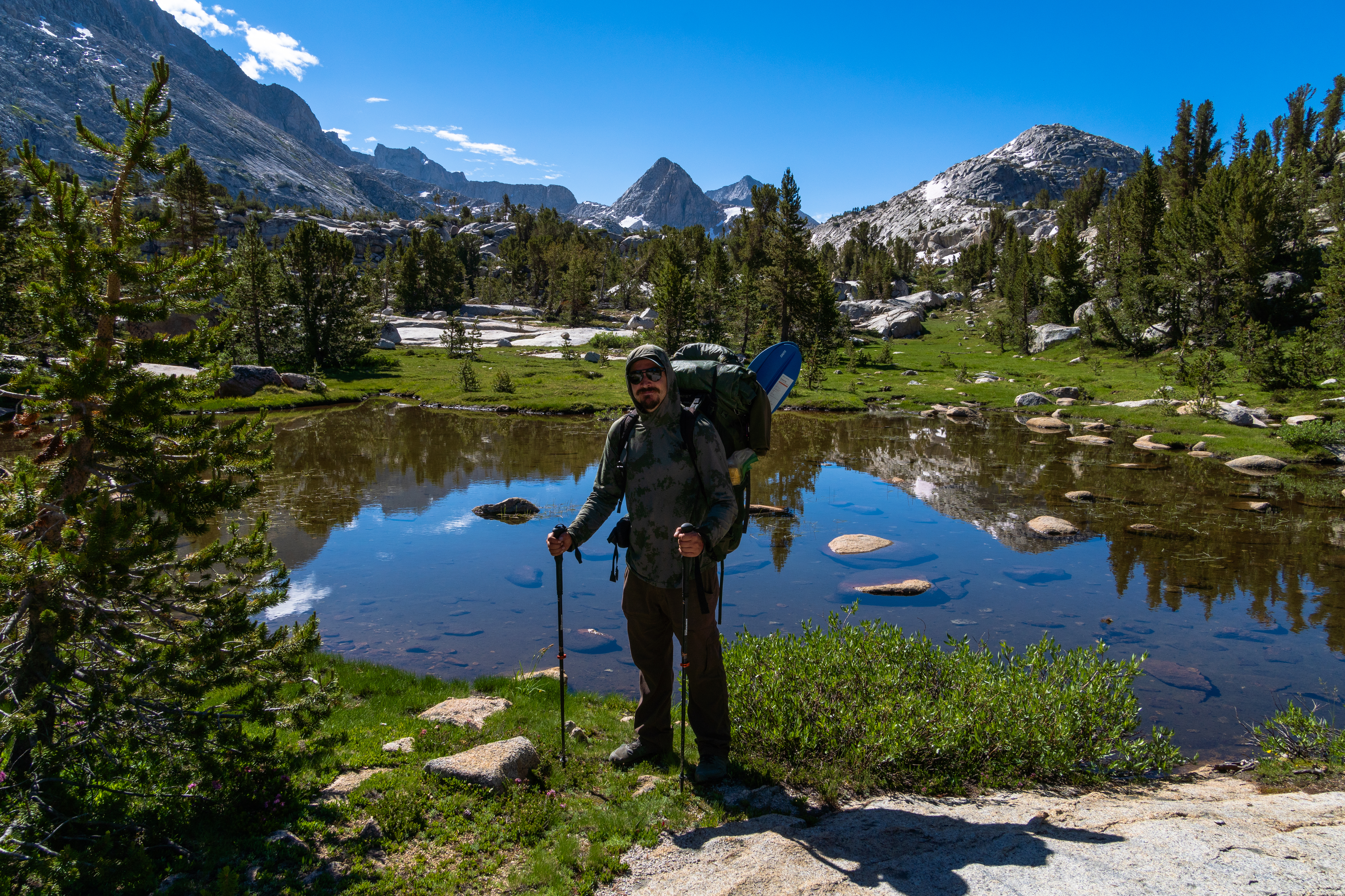
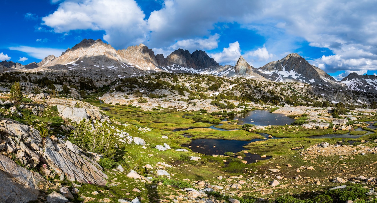
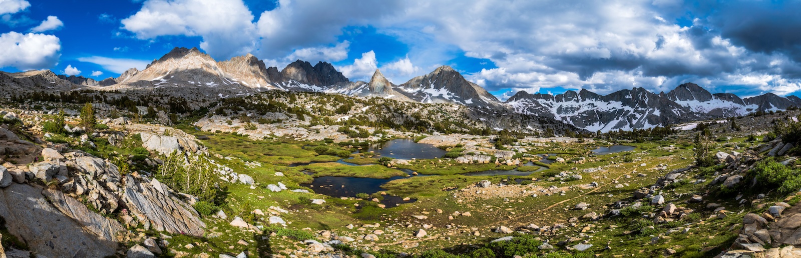
This would be an incredibly scenic day of hiking as we would continue up the striking Evolution Basin up to the infamous Muir Pass. It was a beautiful day. Sunshine with lots of large white puffy clouds which were constantly morphing into different shapes. We took our time as we hiked up the trail near the shore of Evolution Lake, stopping to take numerous pictures. As we reached the Southern end of the lake, we crossed an inlet which originated from Sapphire Lake up ahead.
We were in a granite wonderland. The trees became far and few between as we journeyed higher. The views were phenomenal. The huge white clouds made it an almost dream like experience. We were in alpine heaven.
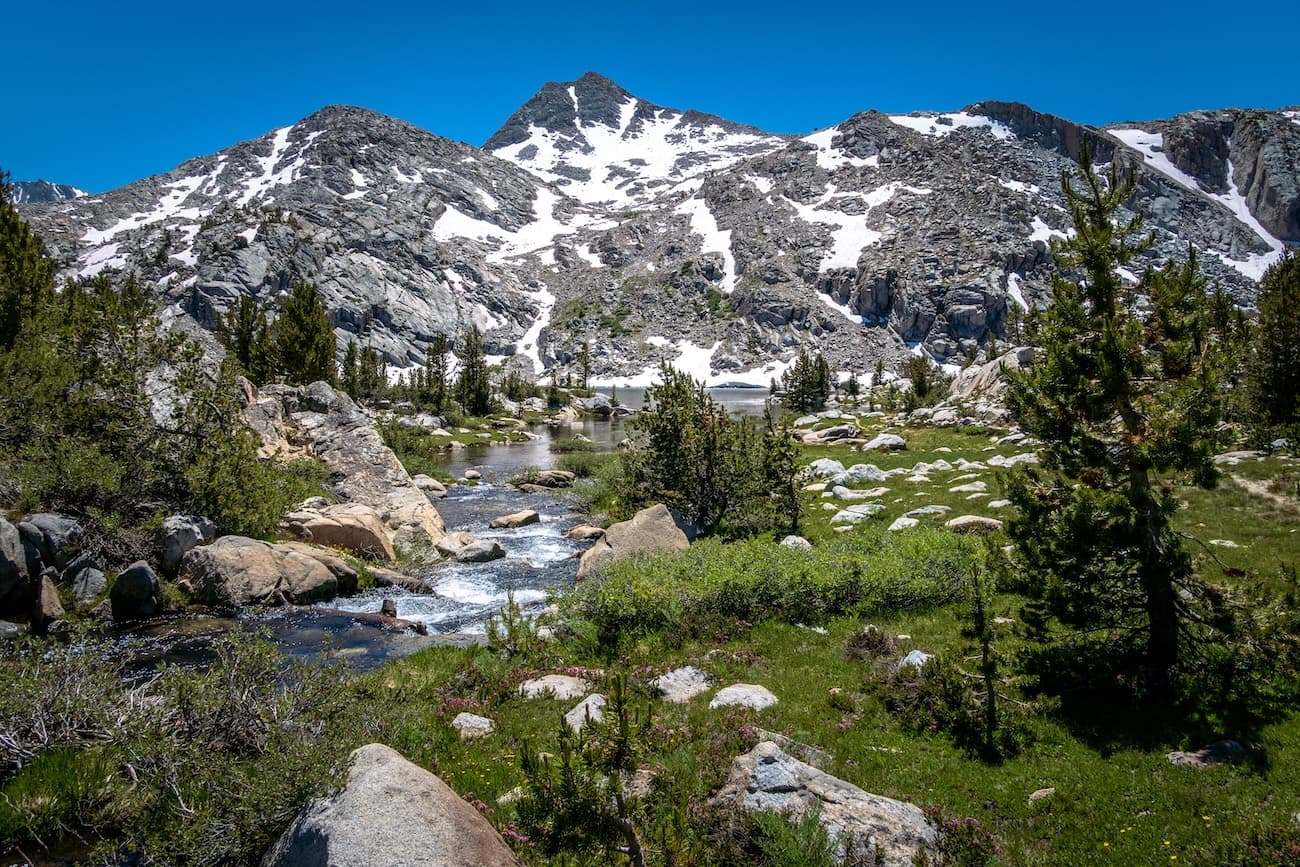
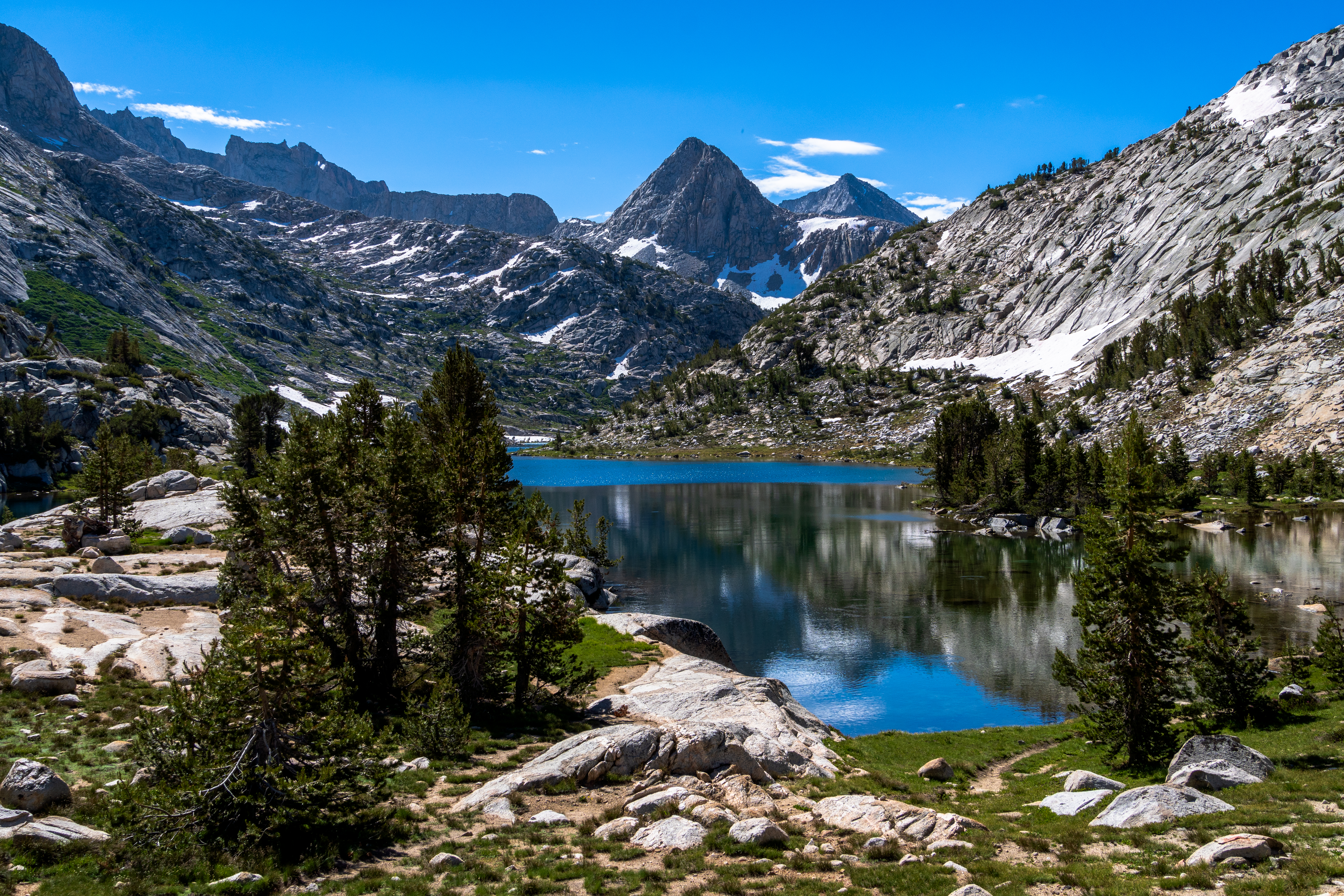
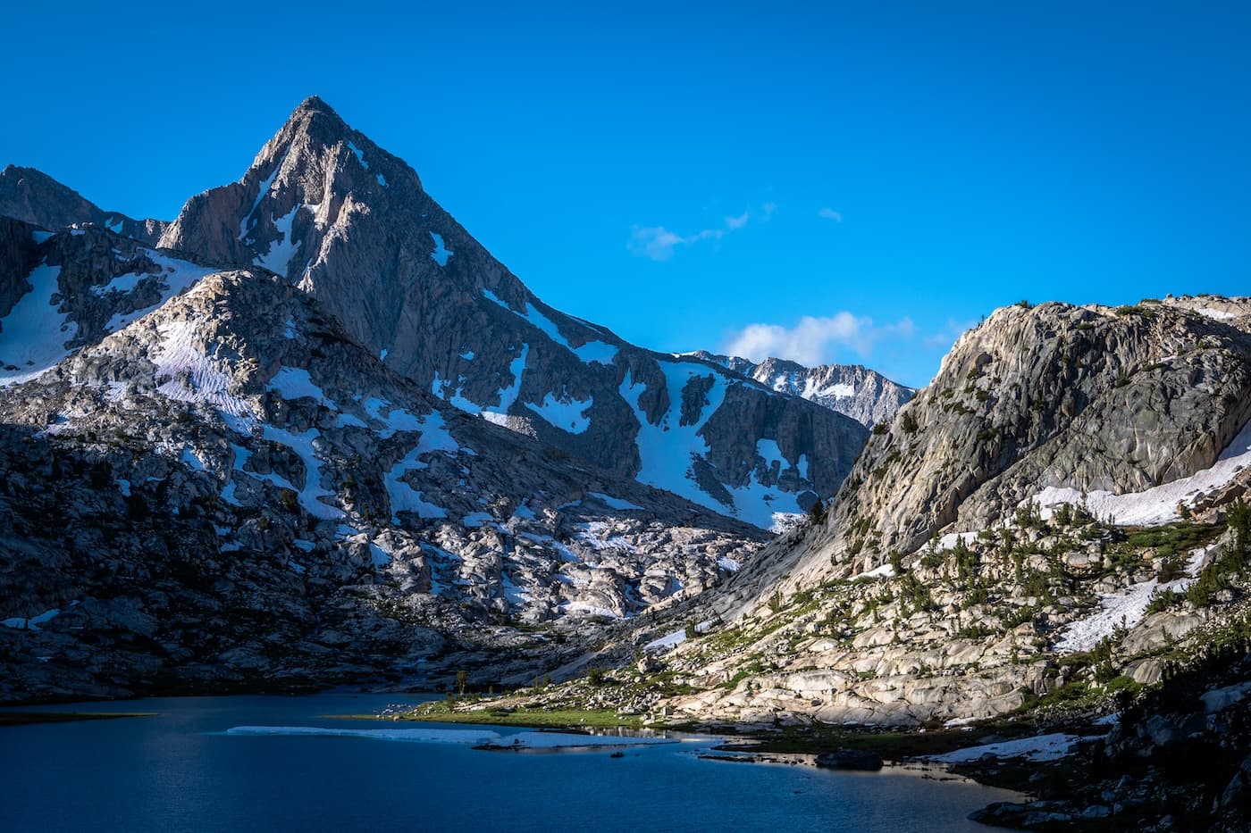
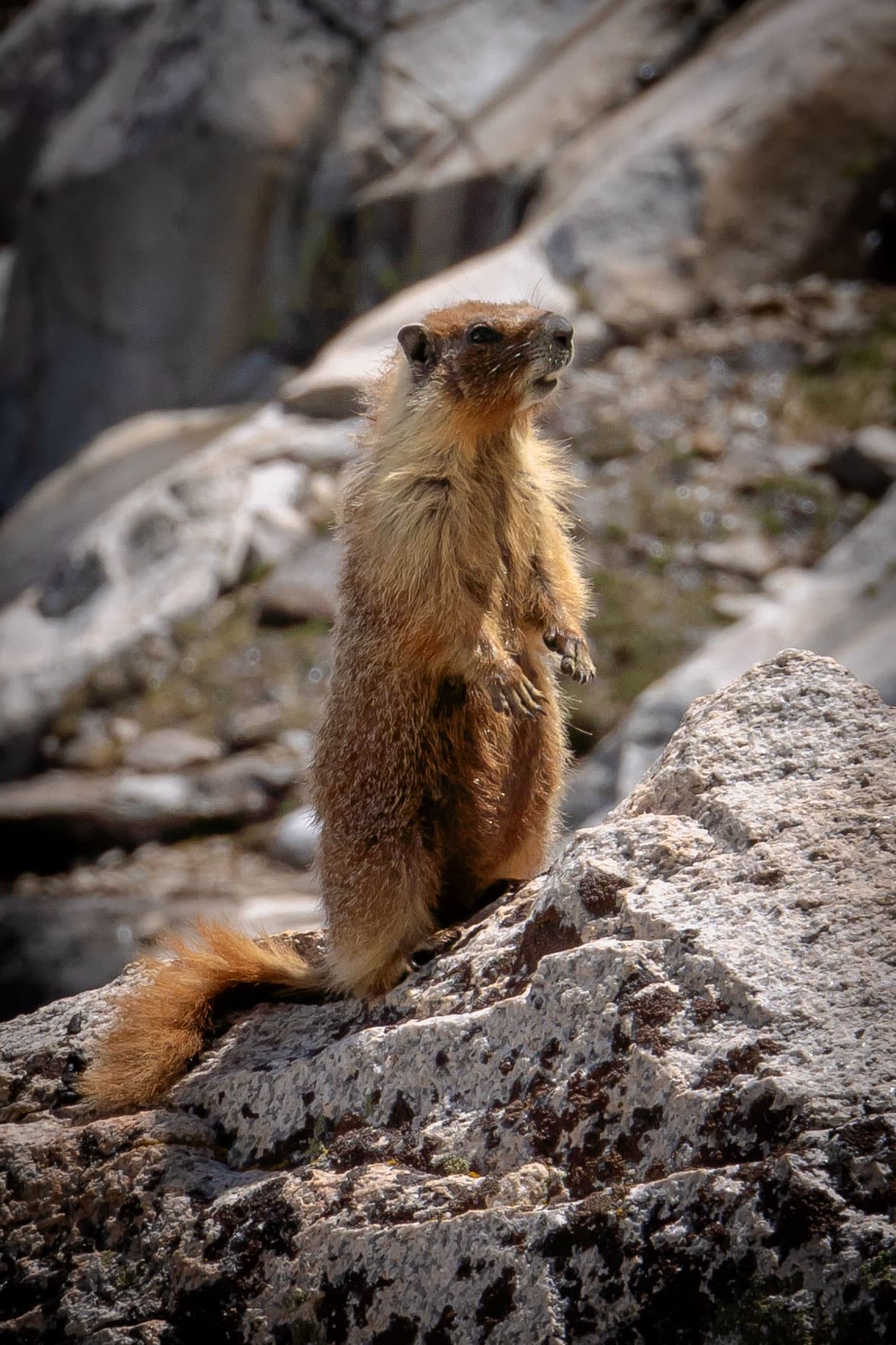
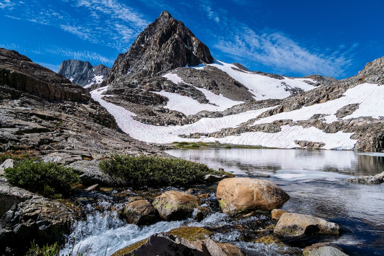
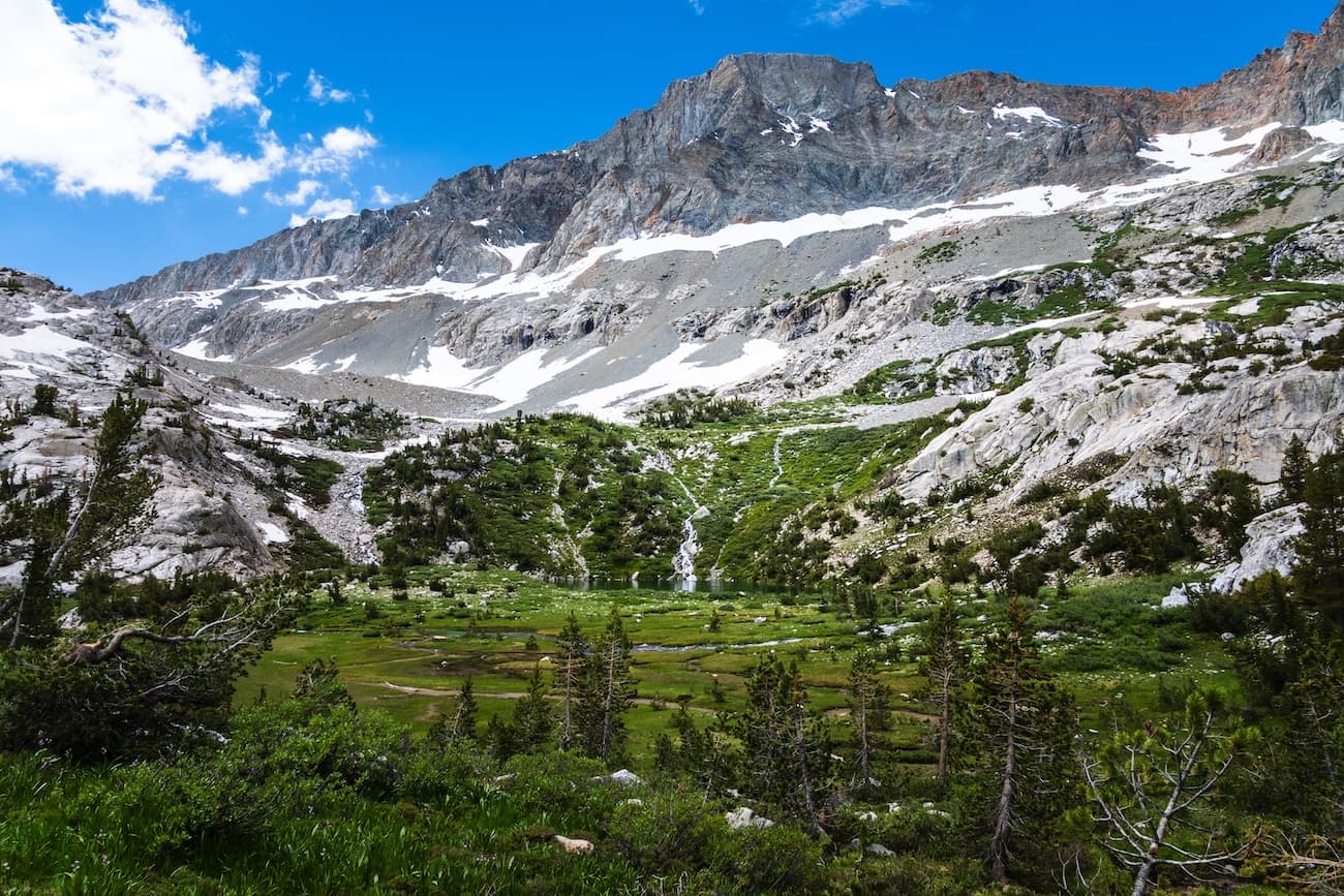
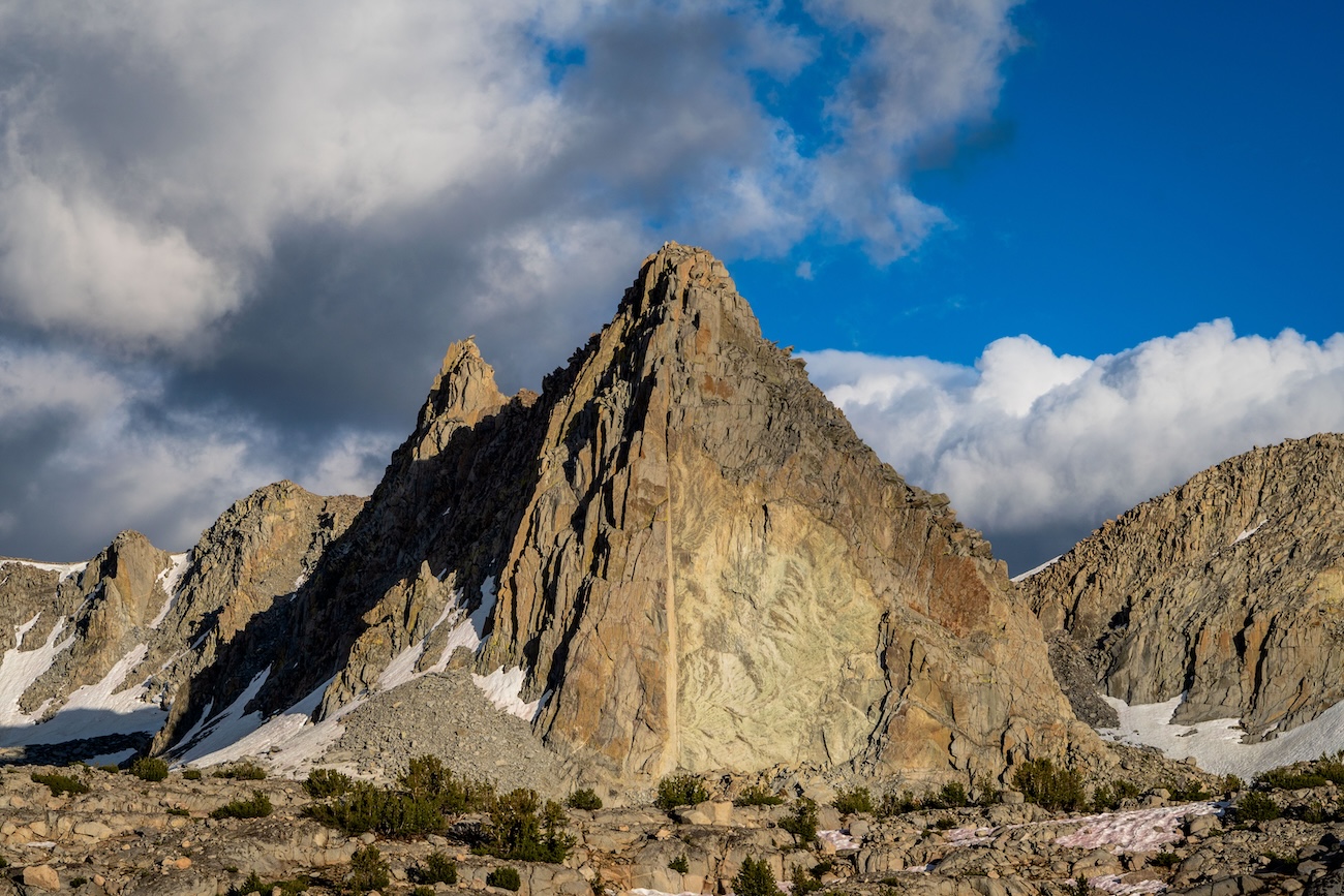
We continued up the rocky trail and arrived at Sapphire Lake. Though more desolate than Evolution Lake, Sapphire Lake was still gorgeous and featured a large mountain towering above it. As we hiked up the trail above the lake, we came across a marmot who came out to say hello. He obliged us and posed for some pictures.
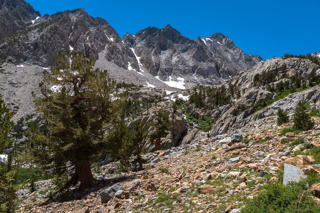
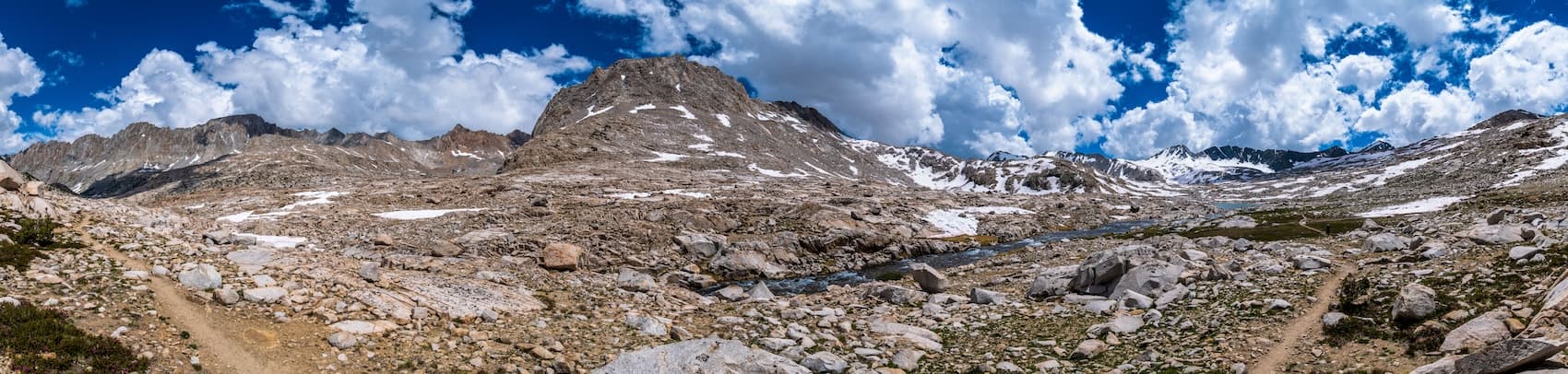
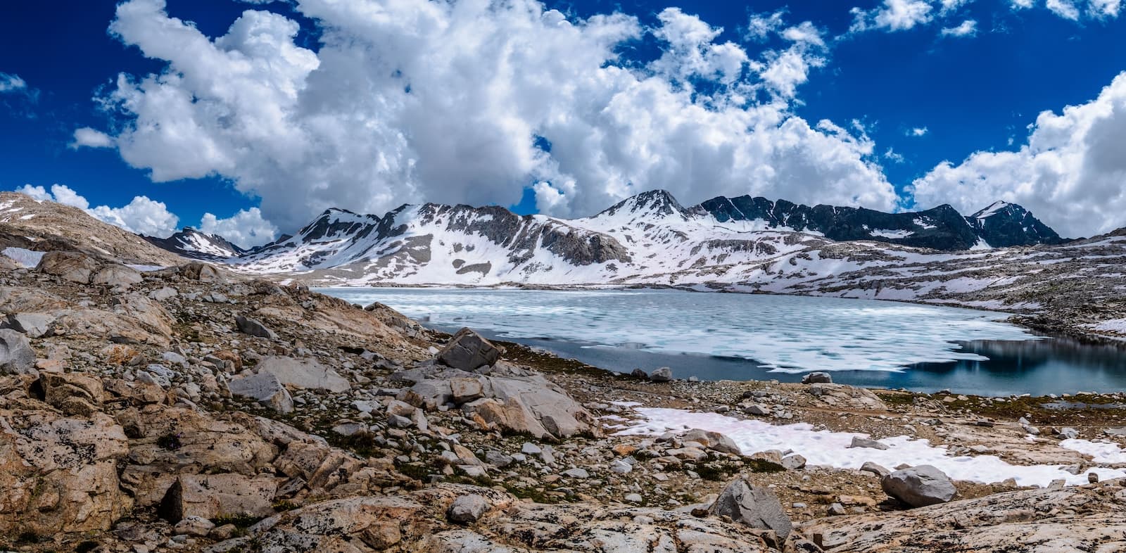
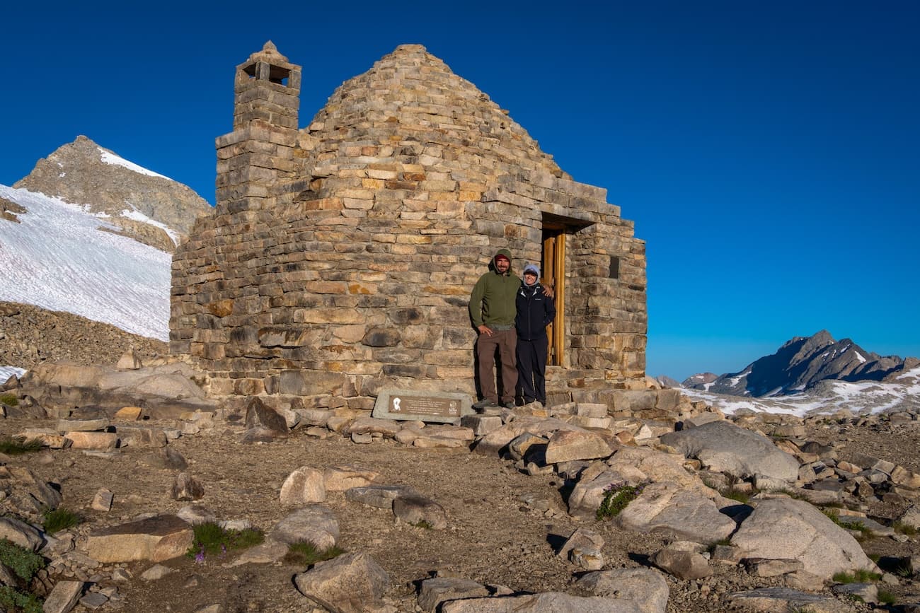
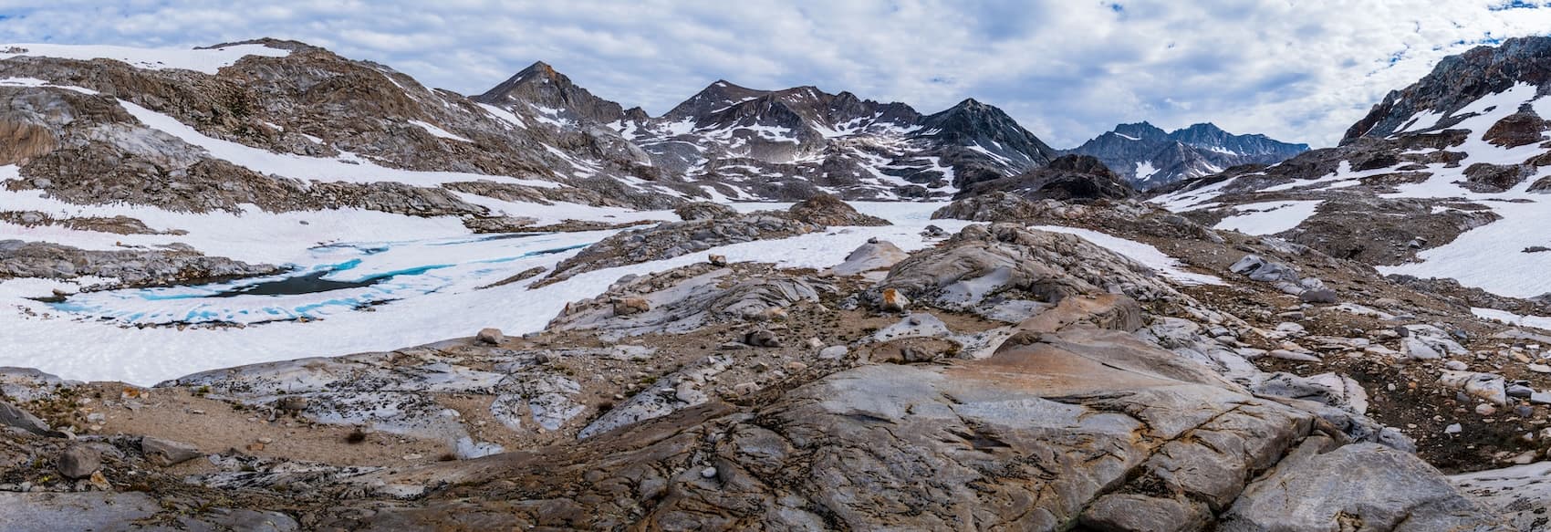
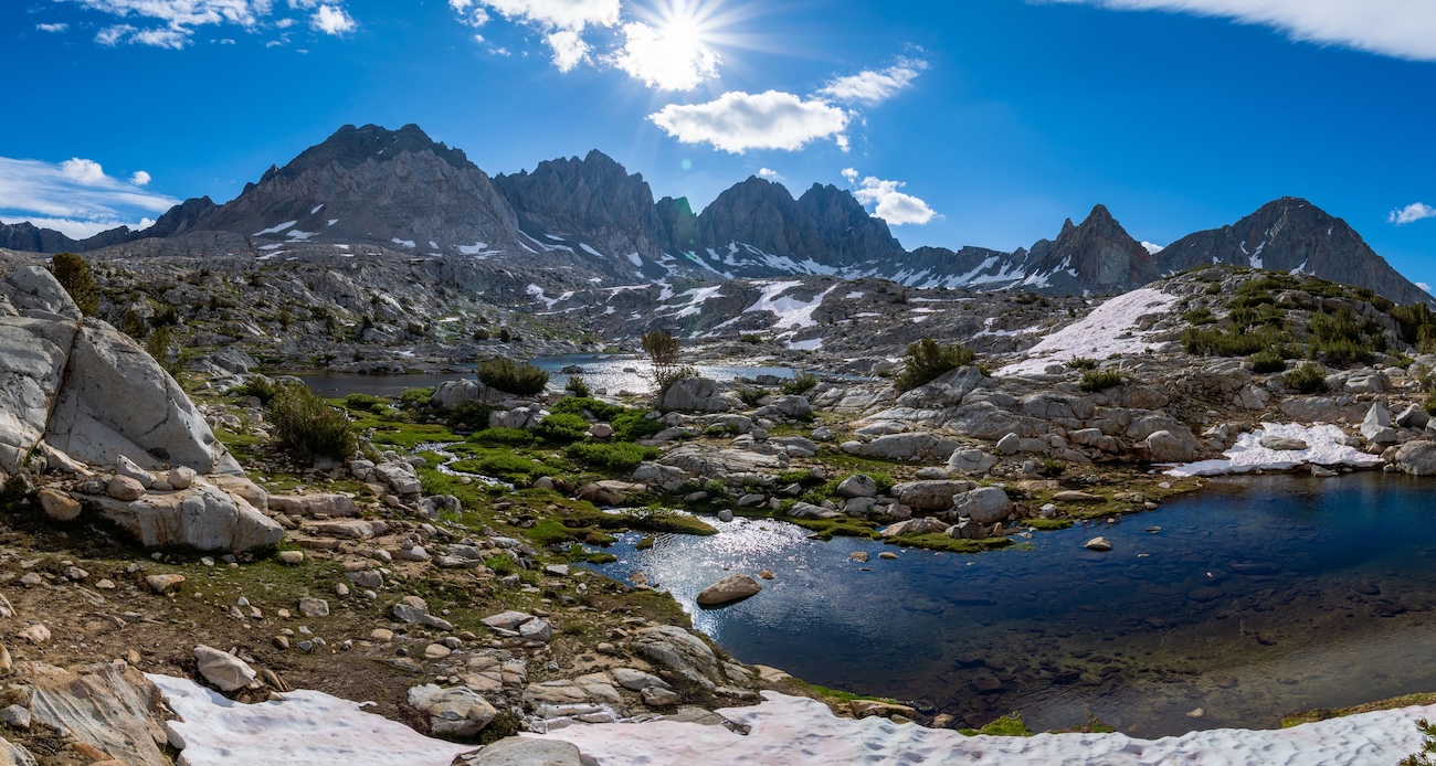
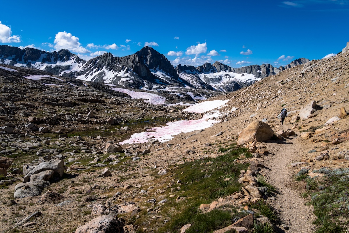
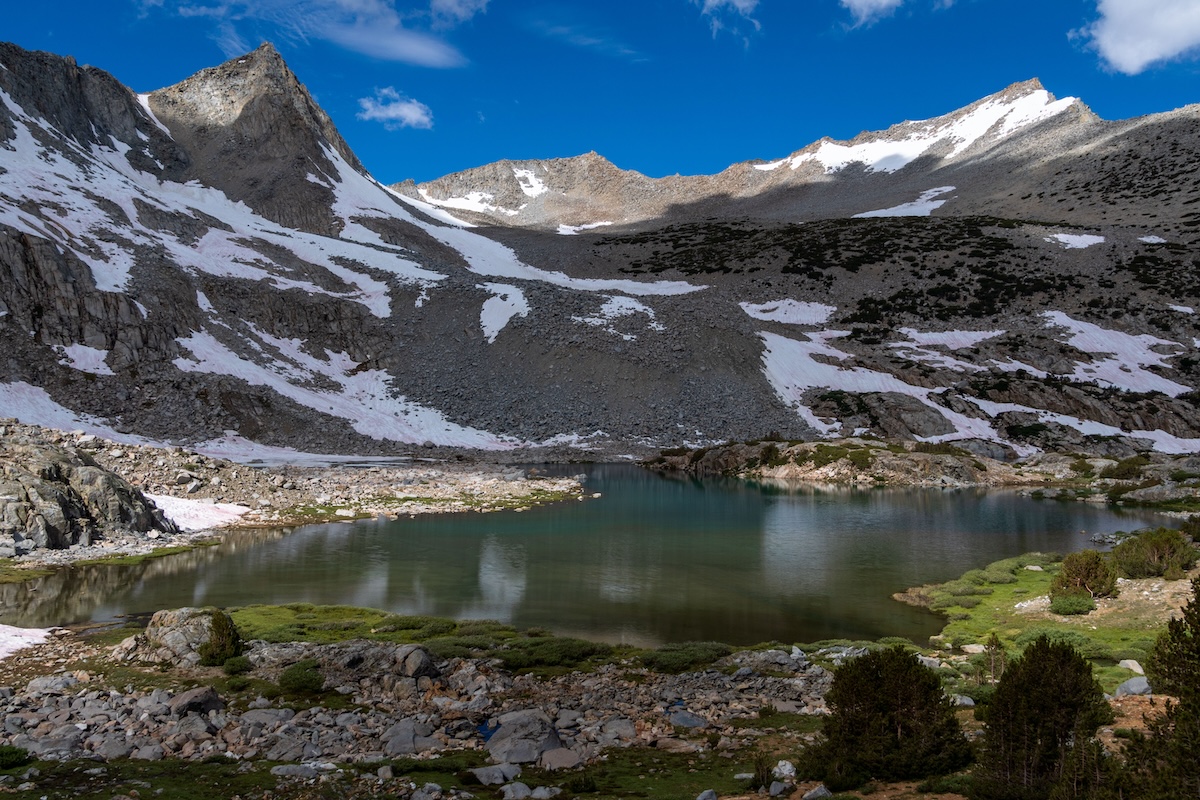
We continued at a liesurely speed, trying to take in all the alpine beauty around us. We asended higher and arrived at the still partially frozen Wanda Lake at 11,426 feet. The clouds now had thickened substantially. I knew we should hasten our pace a bit to get over Muir Pass before thunder storms hit. We hurried over the now barren rocky and snowy terrain. We could see the pass up ahead and faintly make out the small iconic rocky hut at the summit.
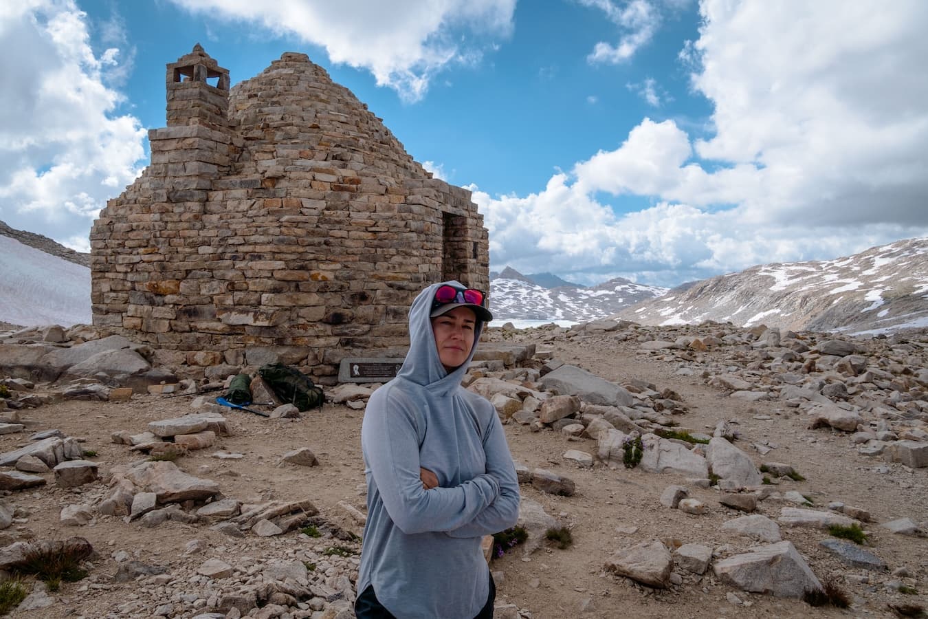
After pushing forward over some large snow banks, we reached Muir Hut at the pass. It was a welcome sight and offered a nice place to rest. By now it was overcast and the clouds were becoming darker by the minute. Sure enough a thunder storm hit us. We were thankful to have the hut to take shelter in as this was a very desolate stretch of trail. I had originally planned on camping at one of the lakes on the other side of Muir Pass, but we had taken longer than expected and there was a good amount of snow around the pass. We decided to spend the night at the hut.
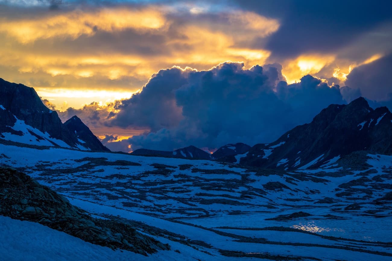
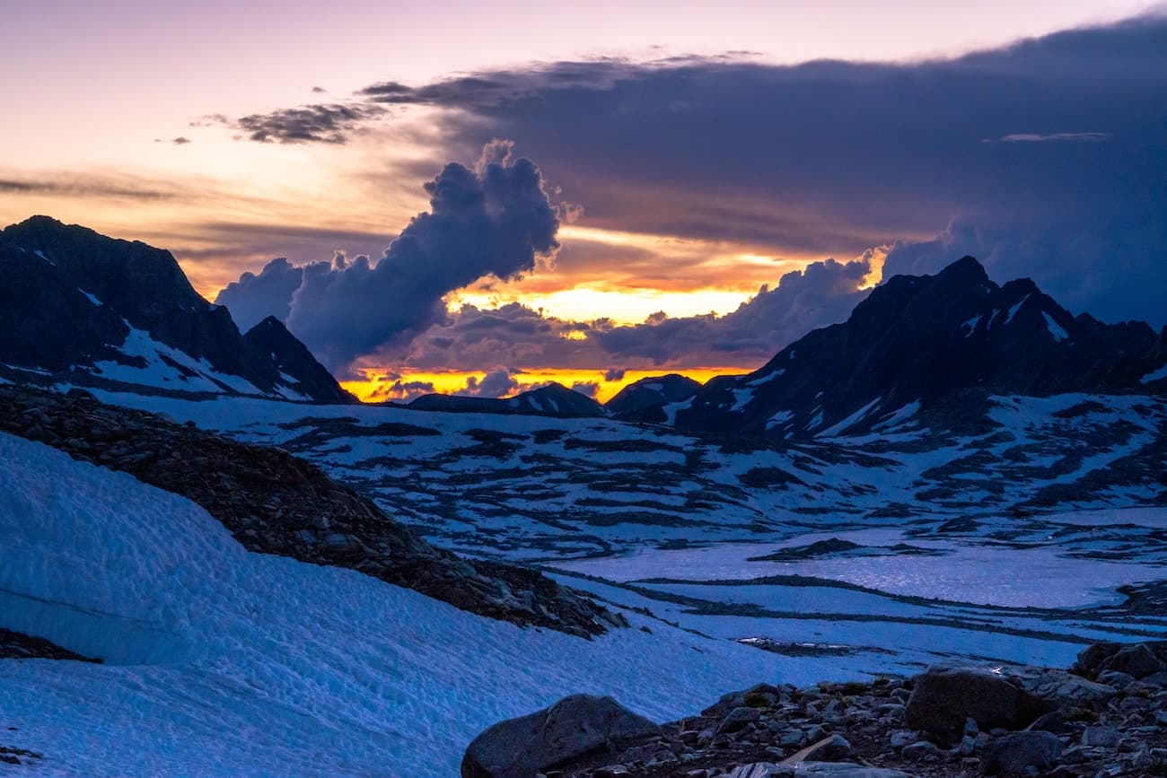
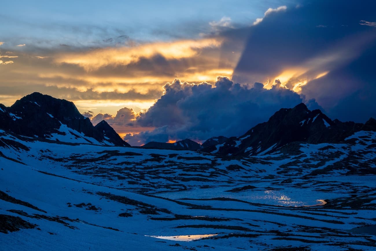
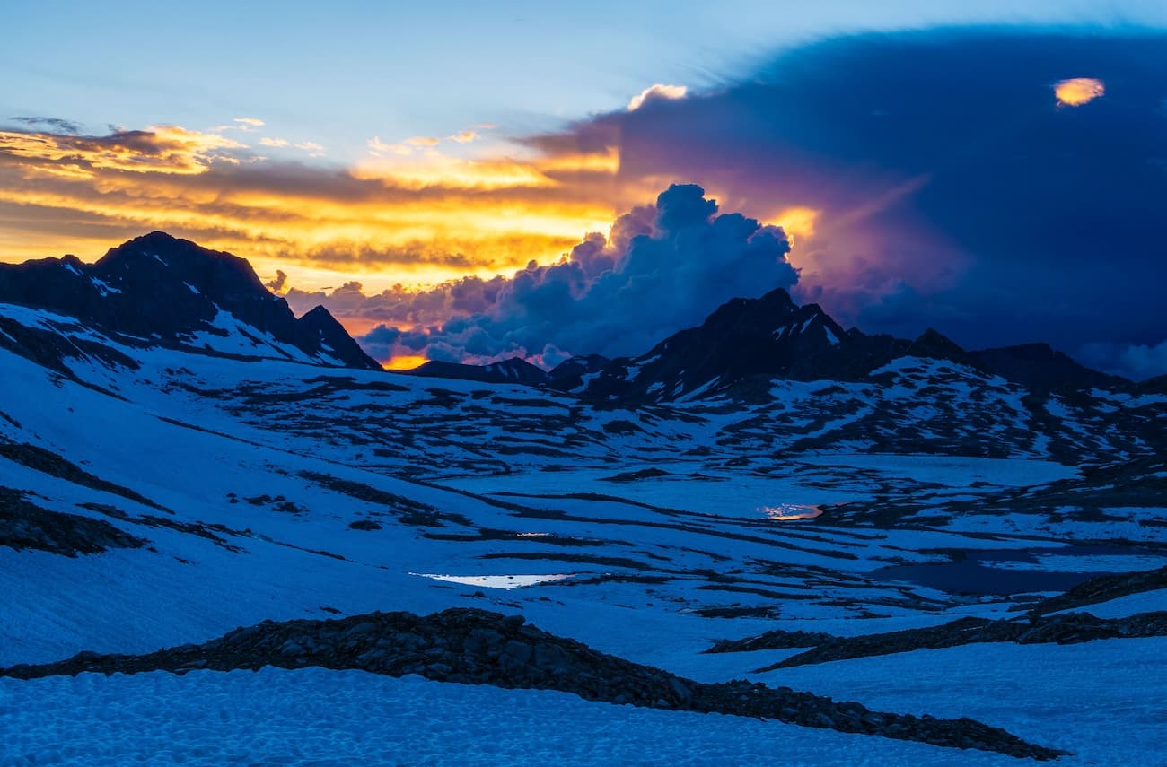
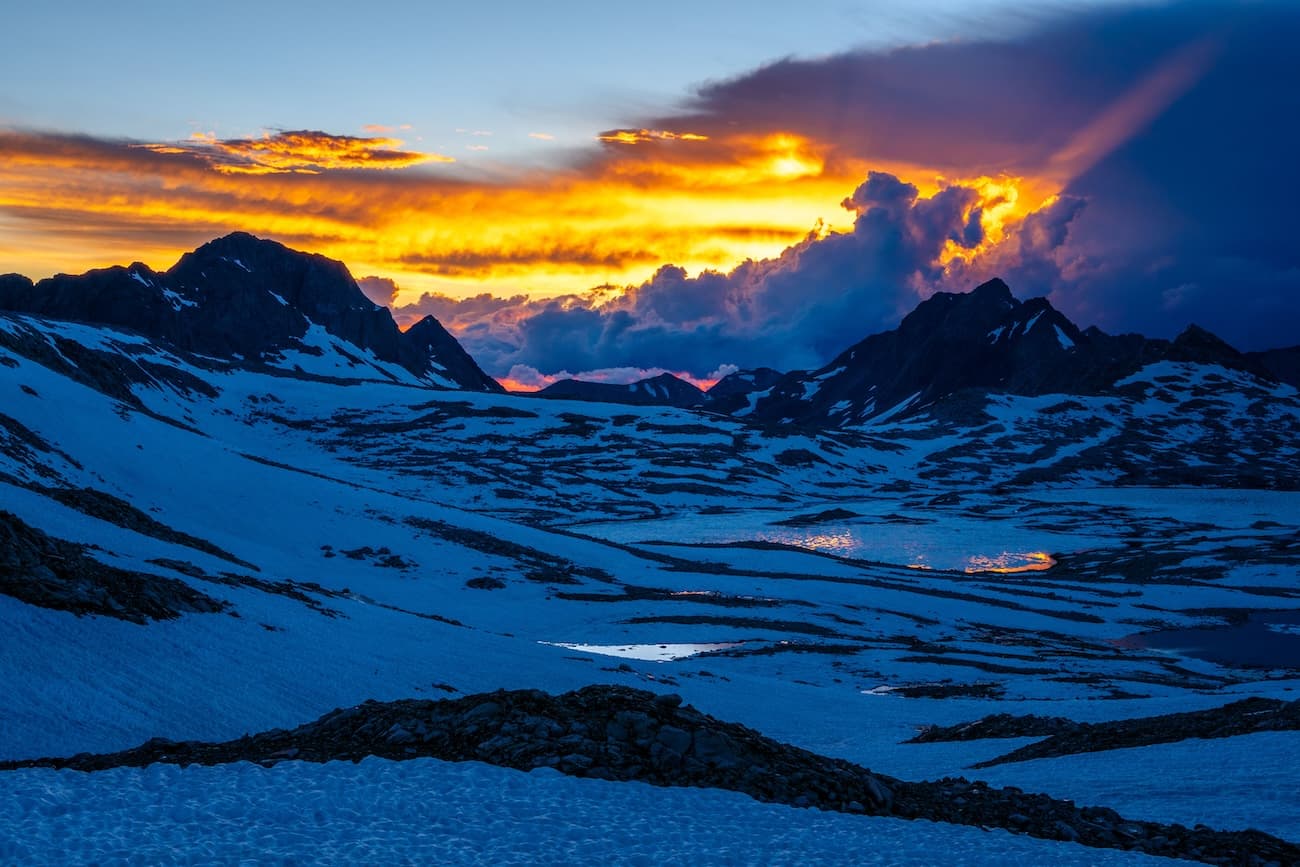
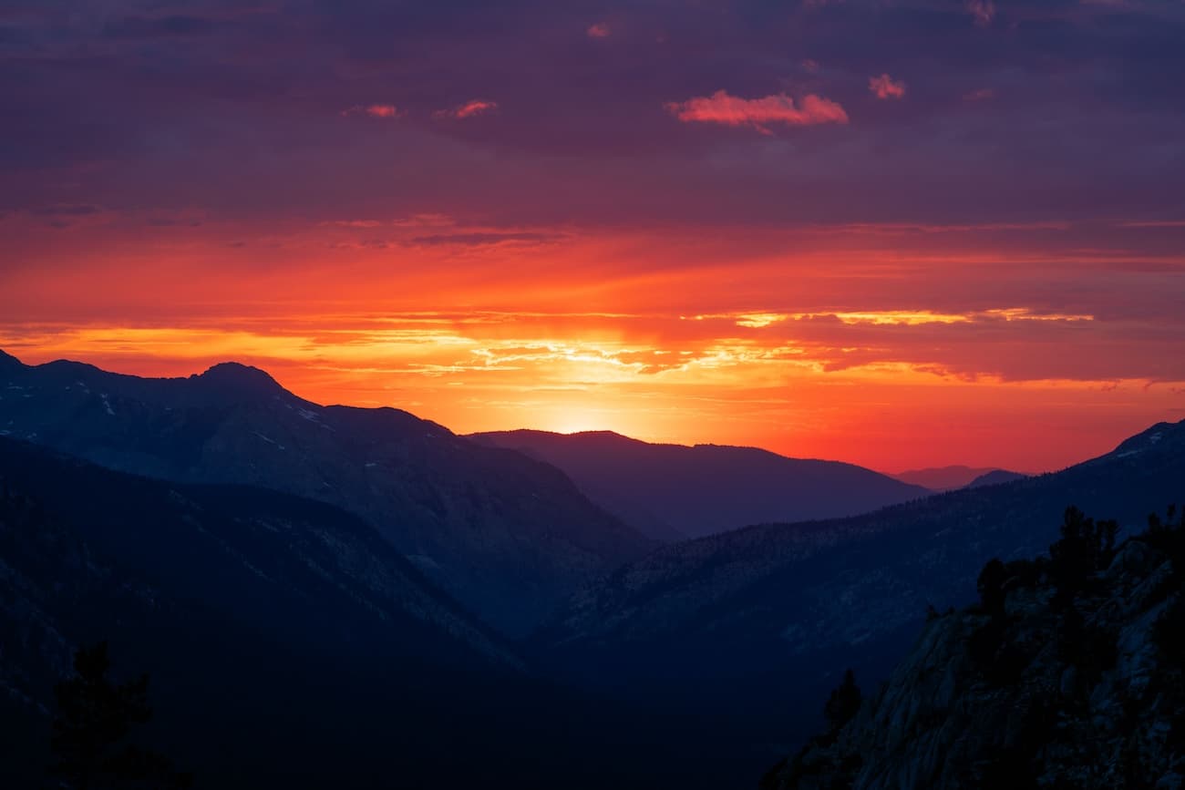
After the thunderstorm faded away the sun began to set and we were blessed with another striking sunset. Golden rays of light pierced through the clouds in a spectacular display. It was the perfect end to an unforgetable day on the John Muir Trail.
Day 6
Muir Pass to Dusy Basin
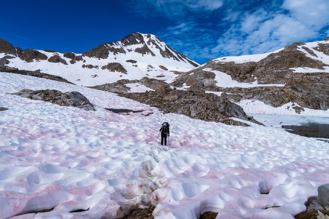
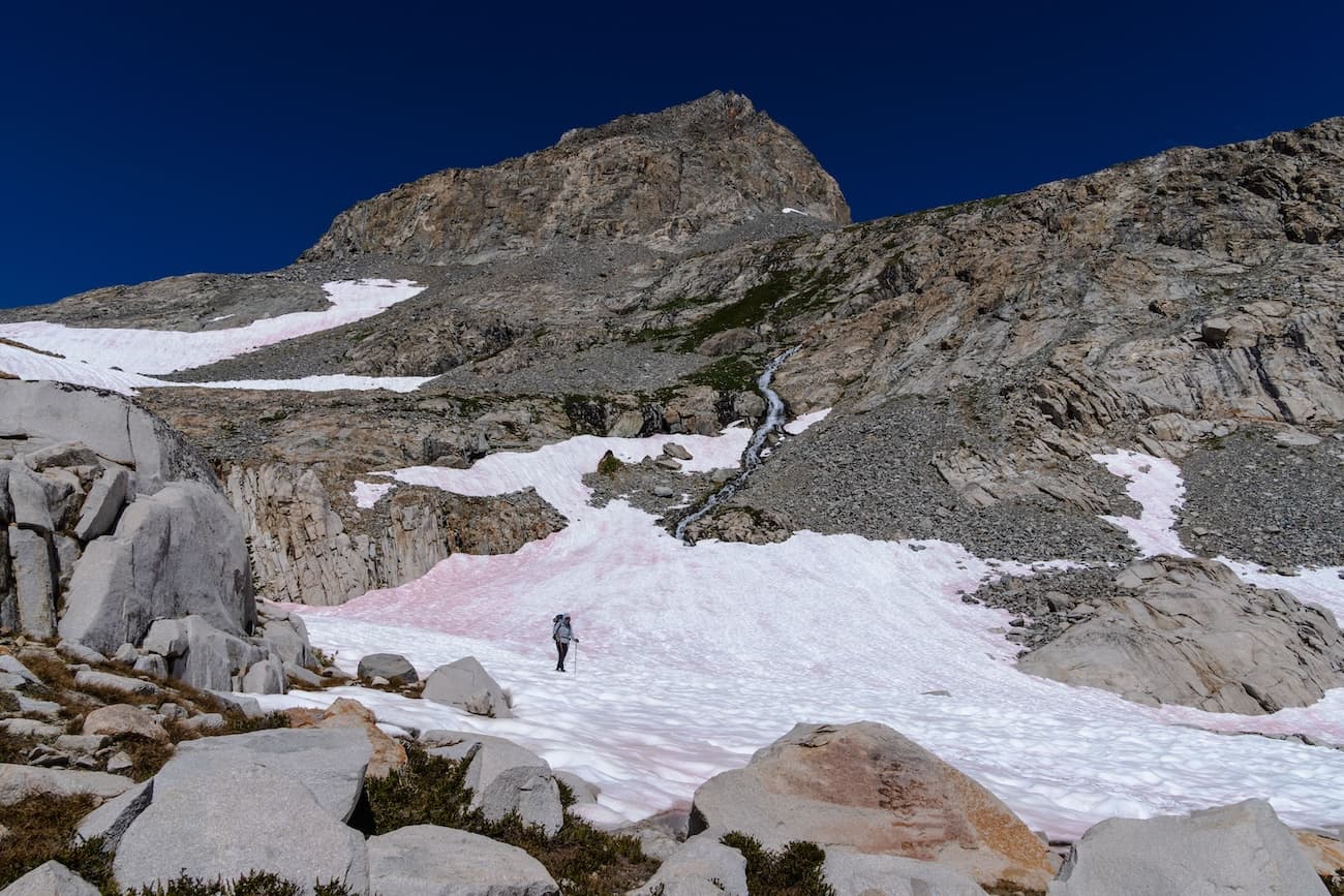
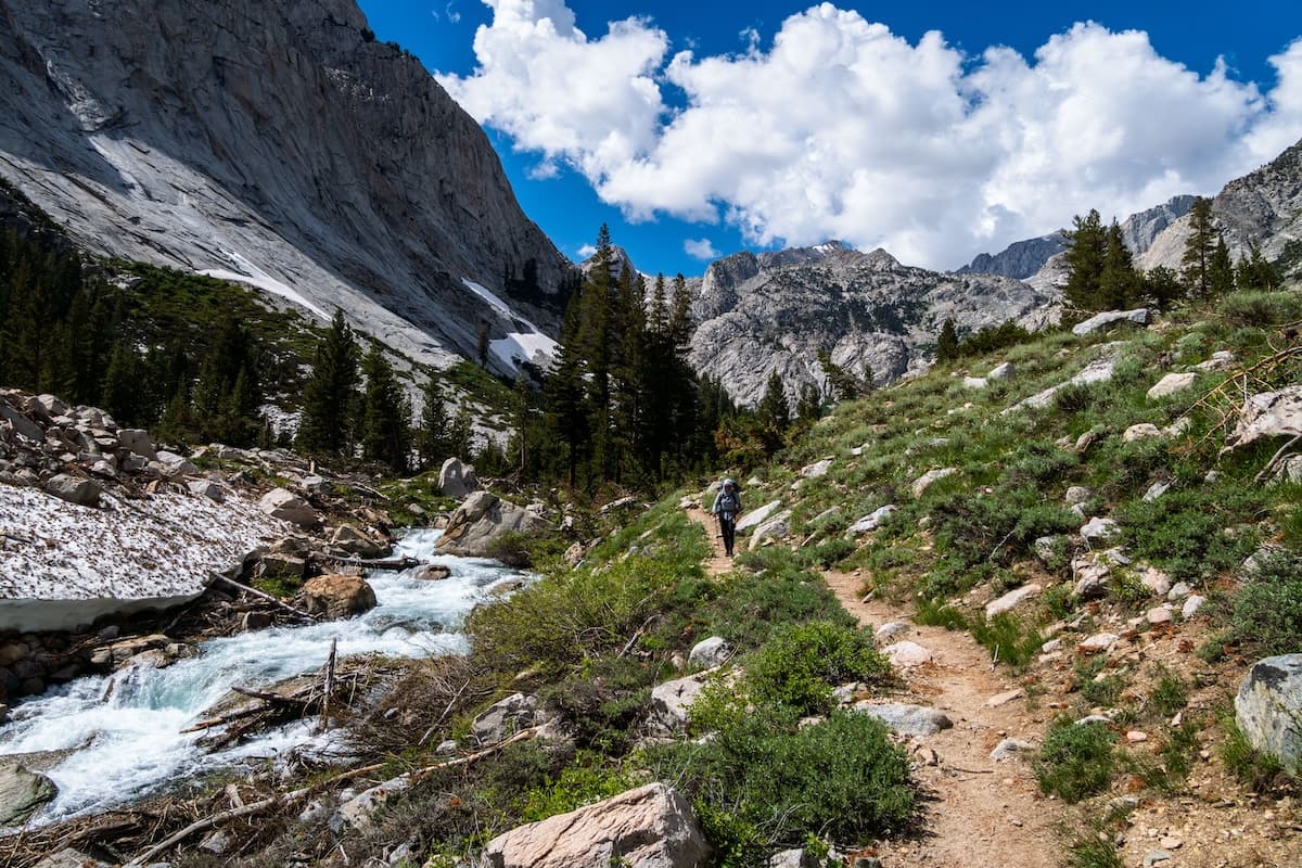
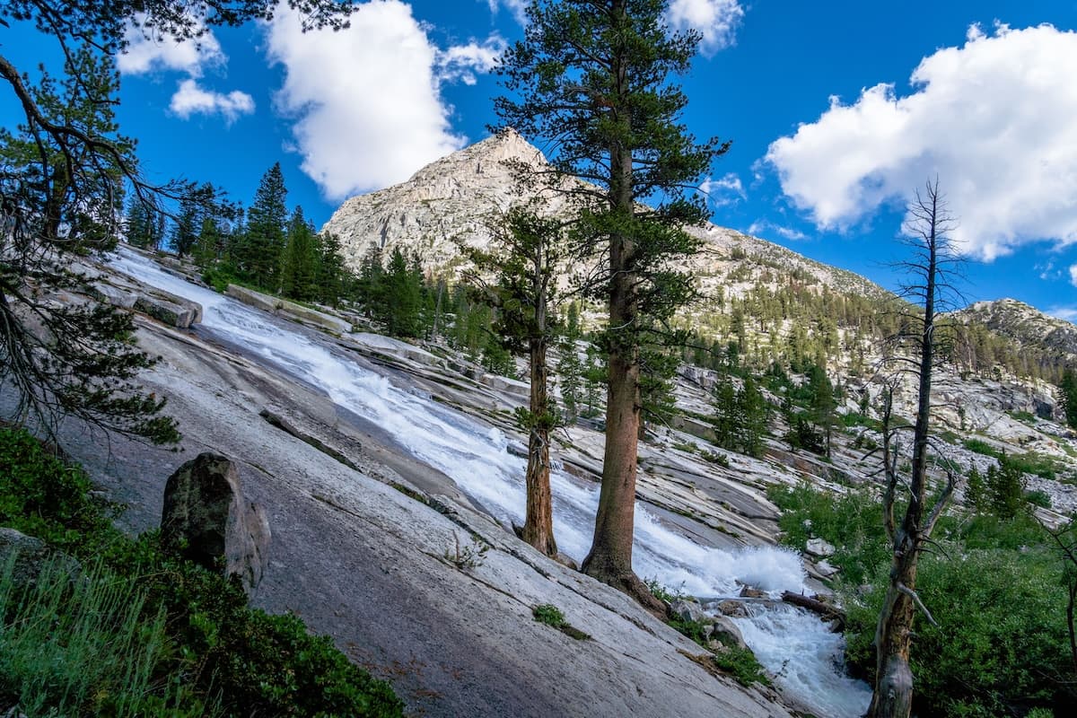
We awoke to clear skies. We took our time packing up so the snow could soften a bit before continuing down the pass. Around eight we said goodbye to Muir hut and started our snowy descent. We passed a few small, half thawed lakes. After a mile or so we reached the shores of Helen Lake. As we dropped in elevation we left the desolate rocky landscape behind. The sound of rushing water permeated the air as the winter's snow was still melting.
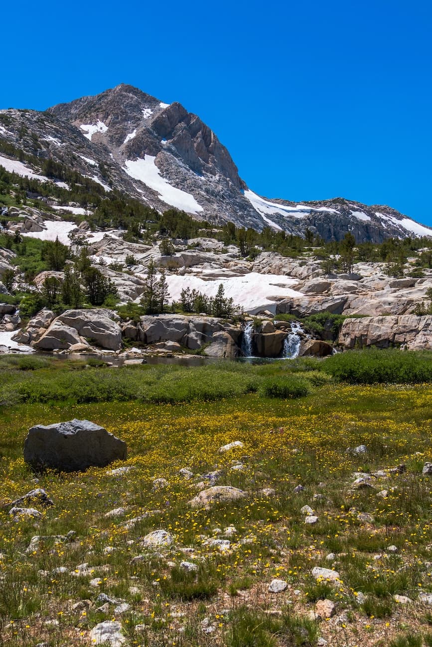
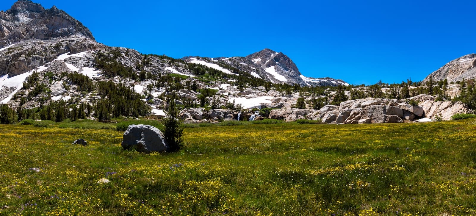
We took a break at a large scenic alpine meadow and enjoyed some lunch. We continued our descent following headwaters of the Middle Fork Kings River which featured many waterfalls. We were entering yet another massive glacier carved canyon. We eventually entered the wood line and reached the valley floor. From here the trail was nice and level and we continued to follow the river and admire the massive granite canyon walls.
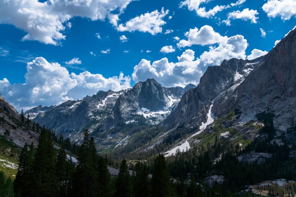
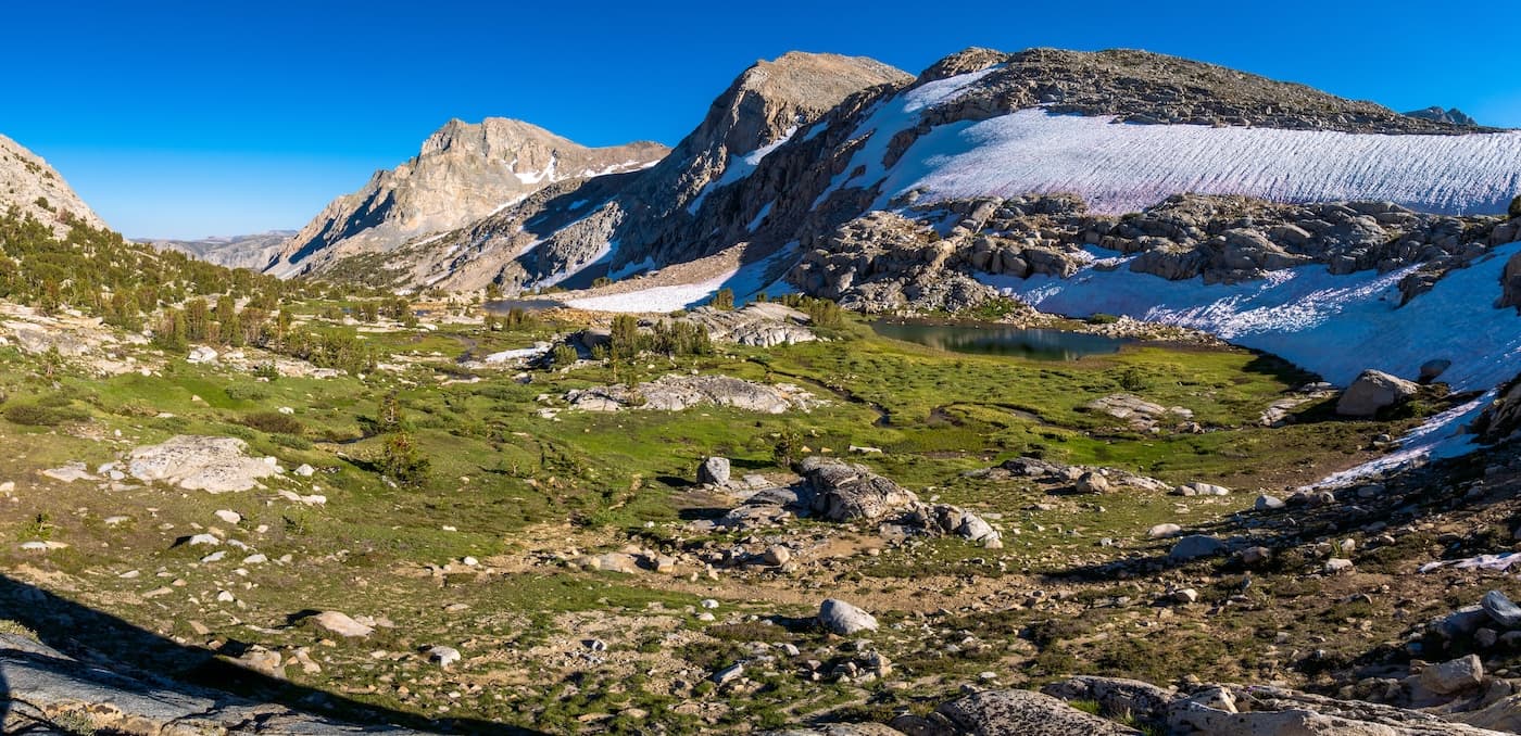
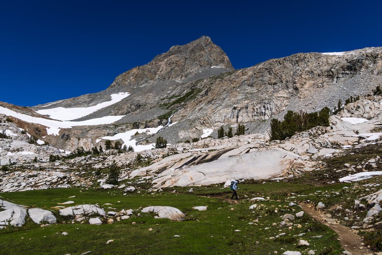
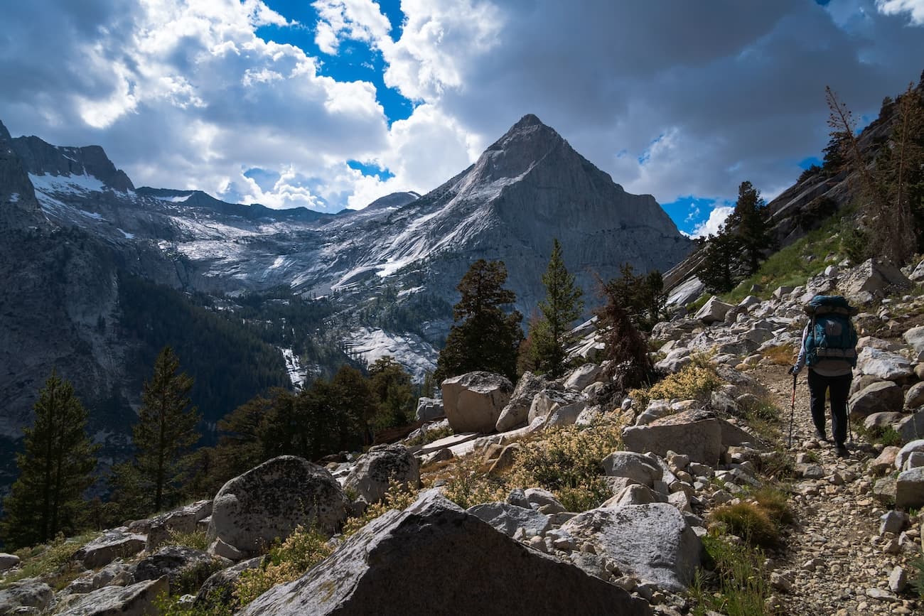
Our goal today was to make the final big ascent of the trip up to Dusy Basin near Bishop Pass. I had heard it was an incredibly scenic spot and I was stoked to check it out. After passing some beautiful alpine meadows we reached our junction and left the John Muir Trail behind. The trail began switchbacking up the Eastern side of the canyon. The views were incredible and got better by the minute. It was clear why this was called Kings Canyon National Park. The massive granite mountains that rose majestically from the canyon were nothing short of magnificent. Large clouds had formed and made the scenery even more dramatic. I took many photos as we climbed out of the canyon. After an amazingly scenic ascent, we finally reached the basin.
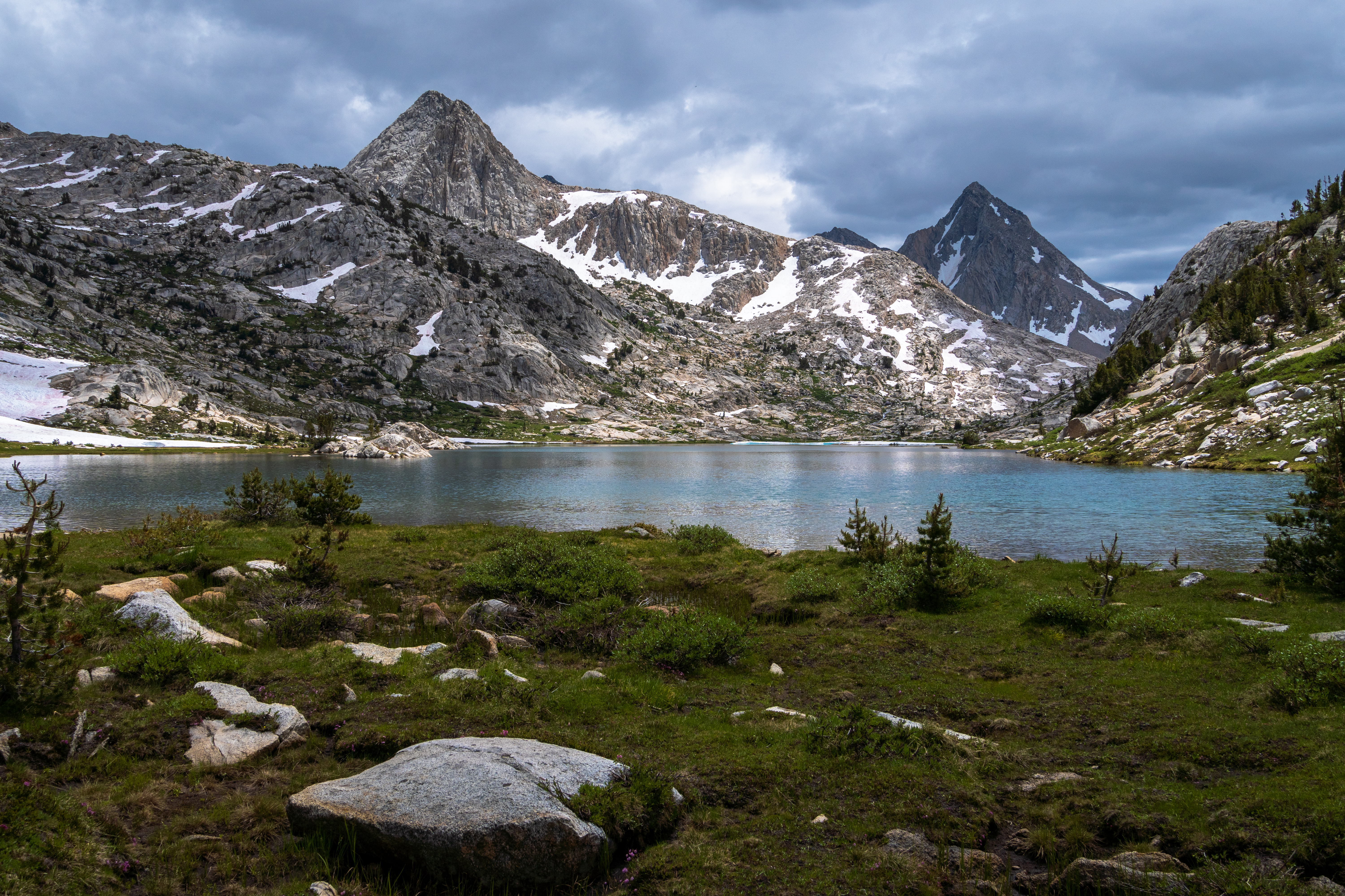
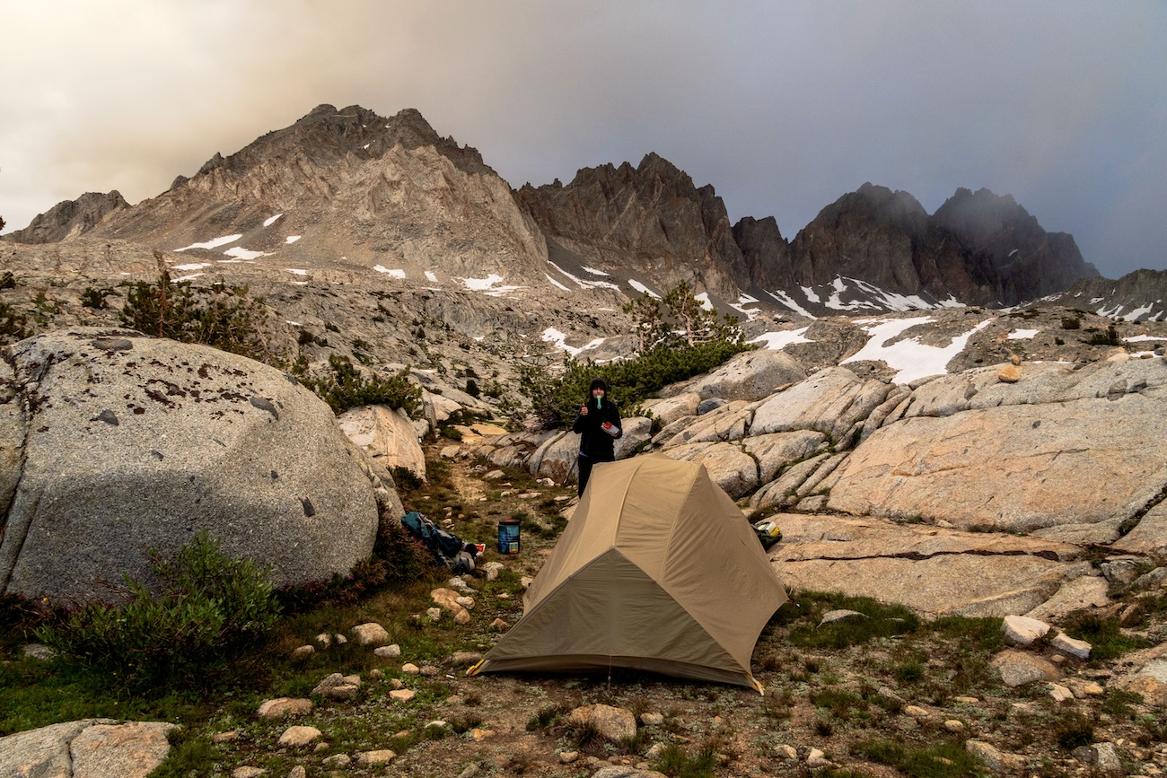
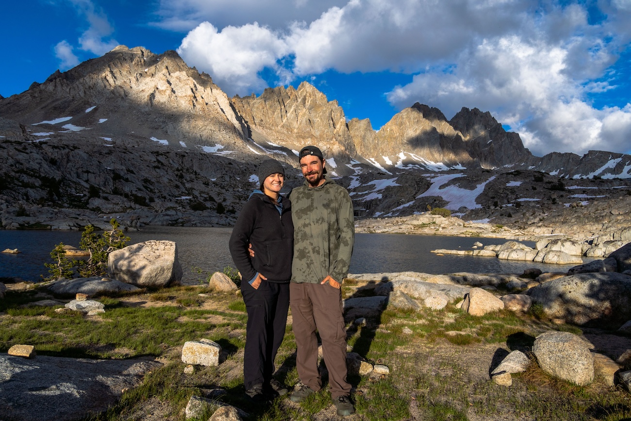
We were treated to yet another grand view. There were more dramatic mountains surrounding the lush green alpine valley we hiked through. We followed a meandering creek for a while before the trees thinned out and we arrived at a beautiful island speckled lake with exceptional views of the surrounding mountains. It was the perfect spot to camp and we had the whole area to ourselves.
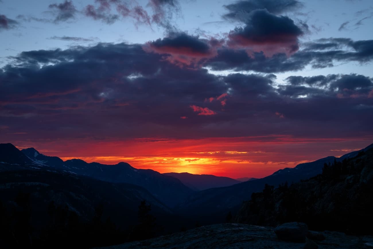
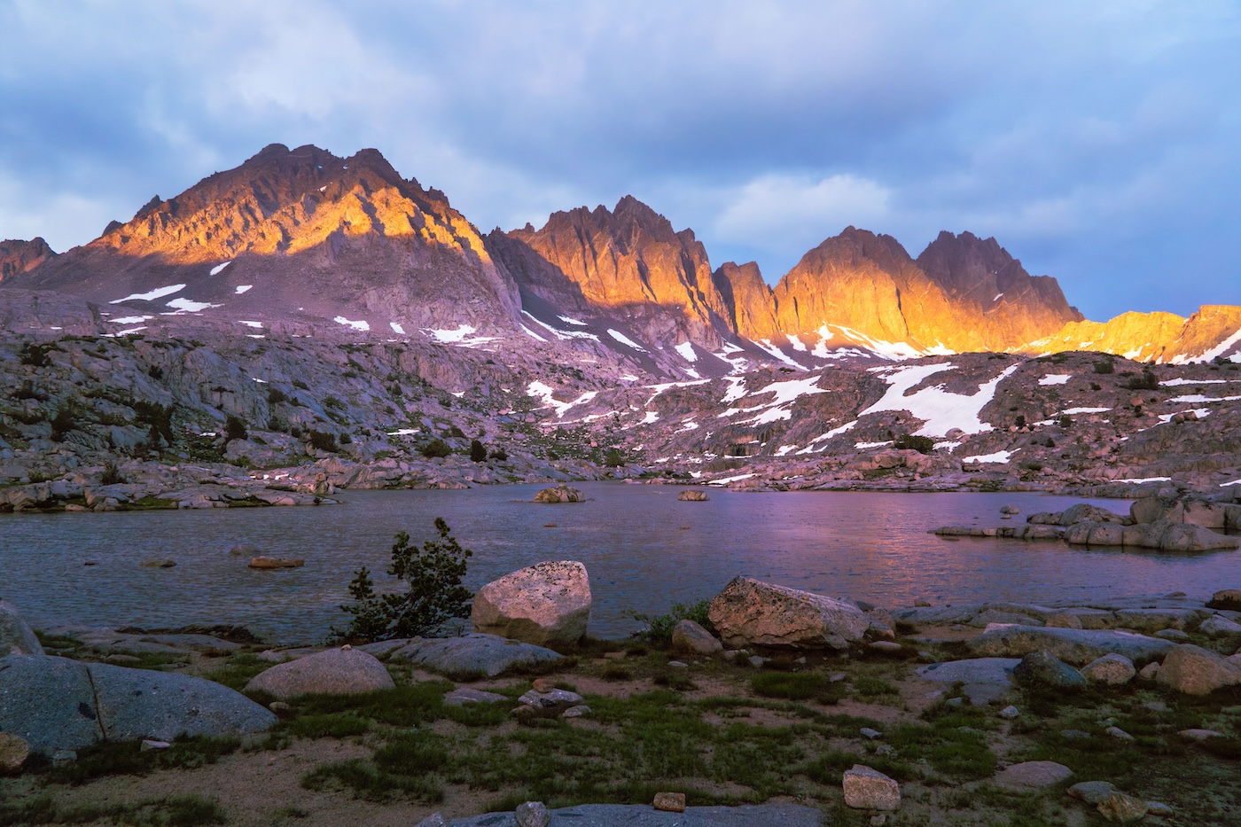
After our camp was set up, golden hour arrived and I took some awesome pictures of the scene in the dramatic light. Yet another amazing day of backpacking was in the bag.
Day 7
Lower Dusy Basin to Upper Dusy Basin
The morning brought some rain and we hunkered down in the tent until it passed. The days itenerary was pretty light. We were going to lounge about for awhile at our lake in the lower basin, then venture up to the upper basin in the afternoon. We boated around the shallow lake and enjoyed the last of our wine before packing up.
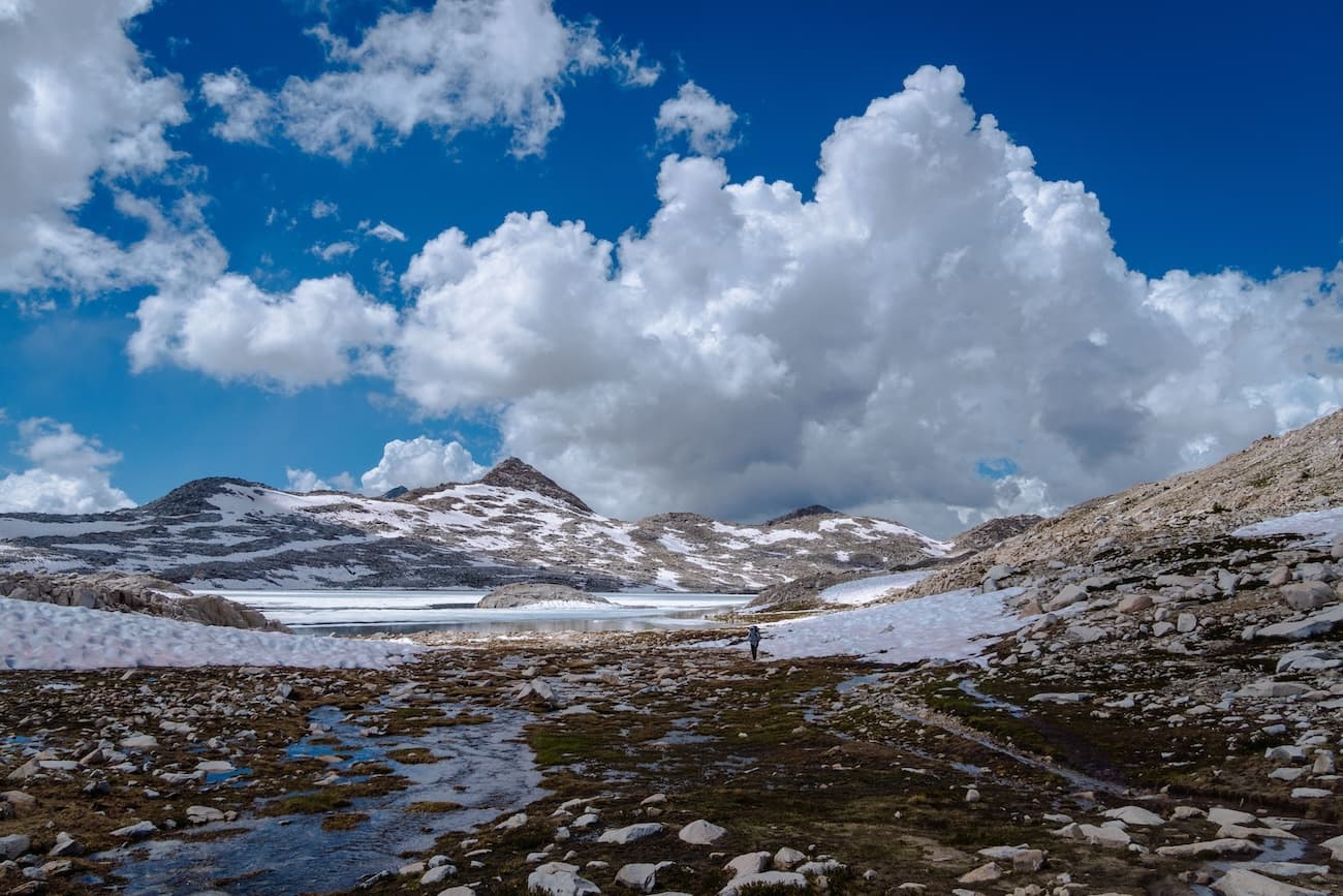
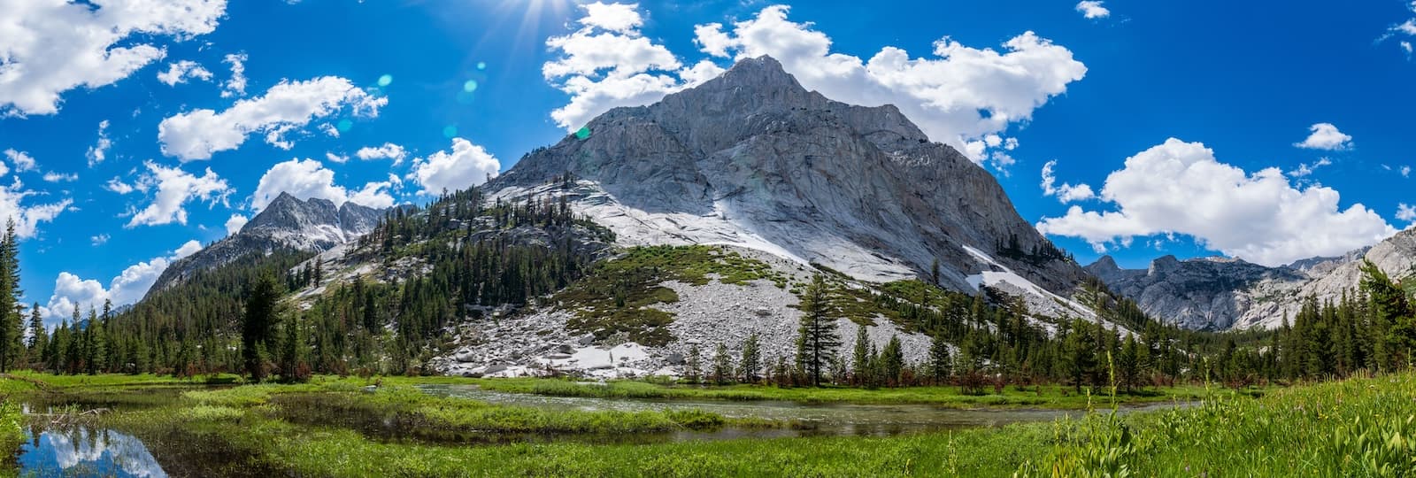
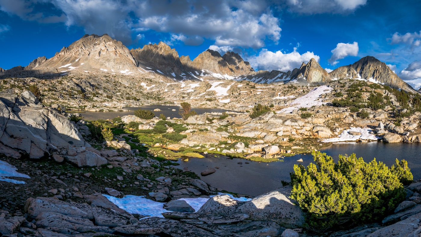
We embarked with a leisurely pace to the upper basin. The alpine scenery was phenomenal. Every where you looked was majestic and almost unreal. I took some panoramas of a pretty alpine meadow with the prominent group of mountains of the upper basin in the background. A short while later we made it to one of the main lakes in the upper basin. There were a few groups of people camping but it didn't feel crowded. After some exploring, we found a nice spot nestled in some boulders which acted as a shelter from the wind.
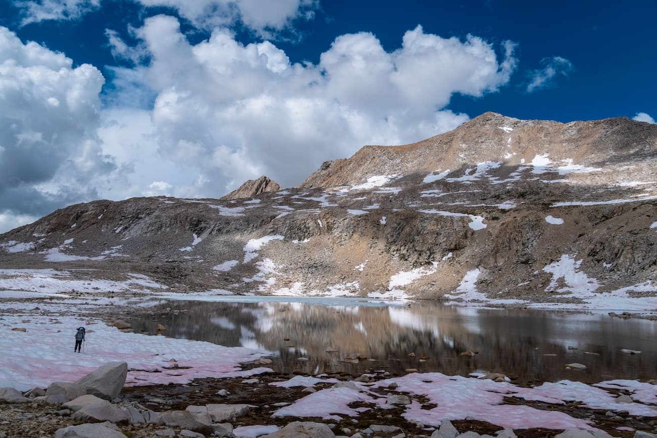
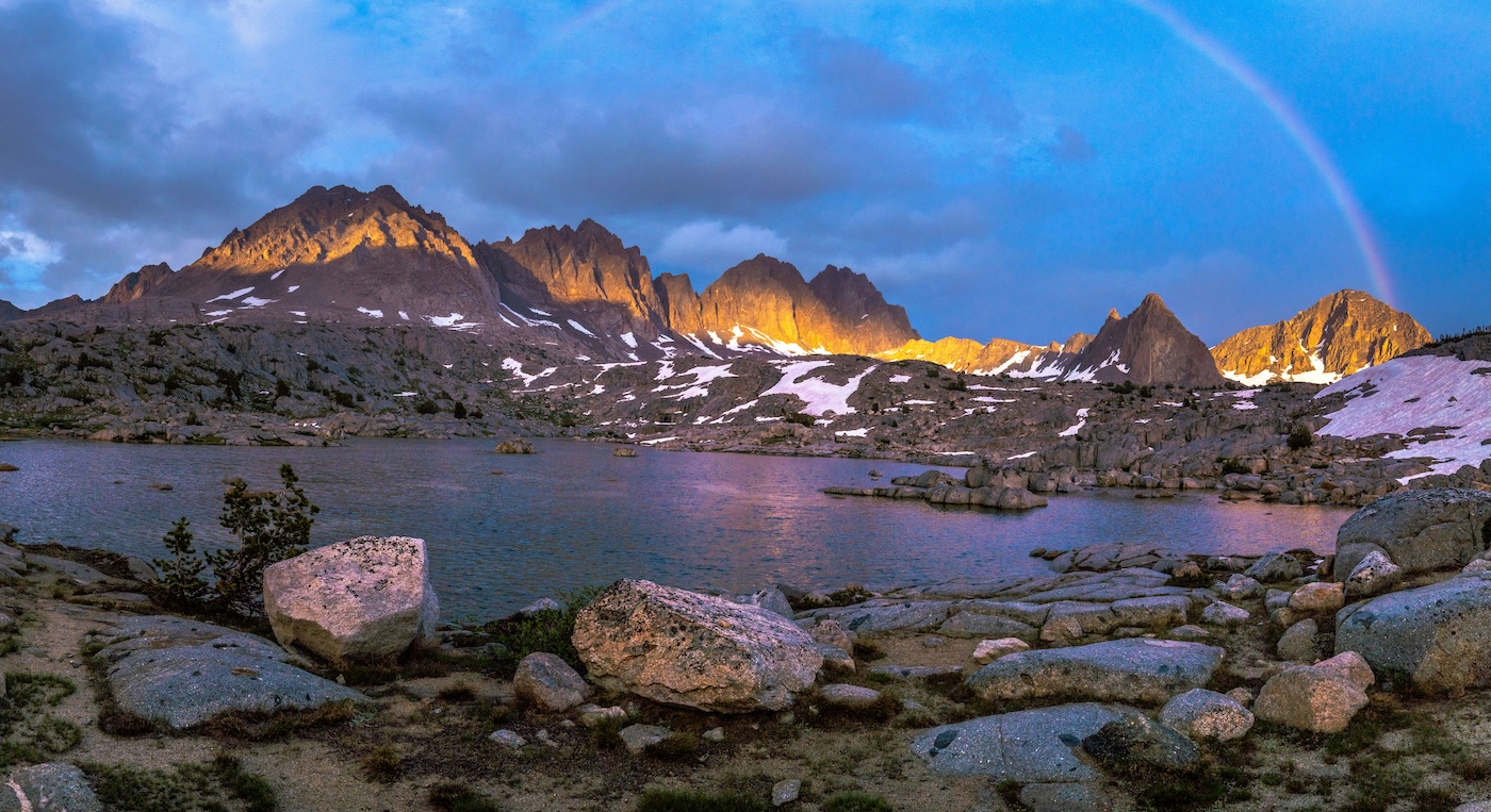
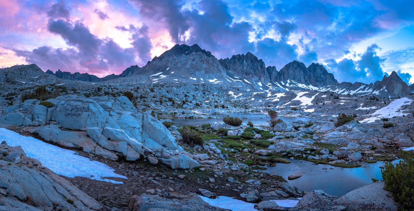
Our lake lay at the bottom of five large granite mountains which looked epic in the late afternoon sun. I explored the alpine terrain and took some nice panoramic shots of the lake before returning to camp for dinner. As the sun set, It began raining lightly which created a rainbow above the lake. I got a great shot of it before escaping to the tent. The scenerey in the Dusy basin is as good as it gets. In fact pretty much the entire trip featured some of the finest mountain scenery you will find anywhere. This was a beautiful place to spend our final night.
Day 8
Upper Dusy Basin to South Lake Trailhead
After waking up early, I climbed up to a spot I had found the previous day overlooking the lake and the epic mountain backdrop. The clouds drifting above the peaks turned pink and purple in the sun's early light and I was rewarded for my effort with some great photos.
This was our last day here and the trailhead was a short hike over Bishop pass. I dragged my feet a bit packing up because it was hard to leave such a gorgeous basin. After having breakfast and getting some last minute photos in, we began the short climb up to Bishop pass.
After about twenty minutes of hiking we reached the pass and were treated to a birds eye view of the gorgeous Dusy basin. I got some panoramic shots of the scenic basin and then we continued to the other side of the pass. The Eastern side of the pass offered great views of Bishop and Ledge Lakes below.
We journeyed down and entered the lake filled basin passing many day hikers on the way. We eventually reached the end of our trip at the bustling South Lake trailhead. From hear Sam relaxed by the lake while I hitchhiked/road walked back to the North Lake trailhead to get our car. The North Lake to South Lake loop had not disapointed. The scenerey was top notch the whole way and the sense of soliture greaty exceeded my expectations. I thought such a gorgeous loop hike would have many more people on the trail but they were few and far between. This may have been in part due to the severly damaged San Joaquin bridge. This had been an extremely memorable hike and we will definitely return to further explore these gorgeous areas in the future. Thanks for reading!